
MyTopo
Kohatk Arizona US Topo Map
Couldn't load pickup availability
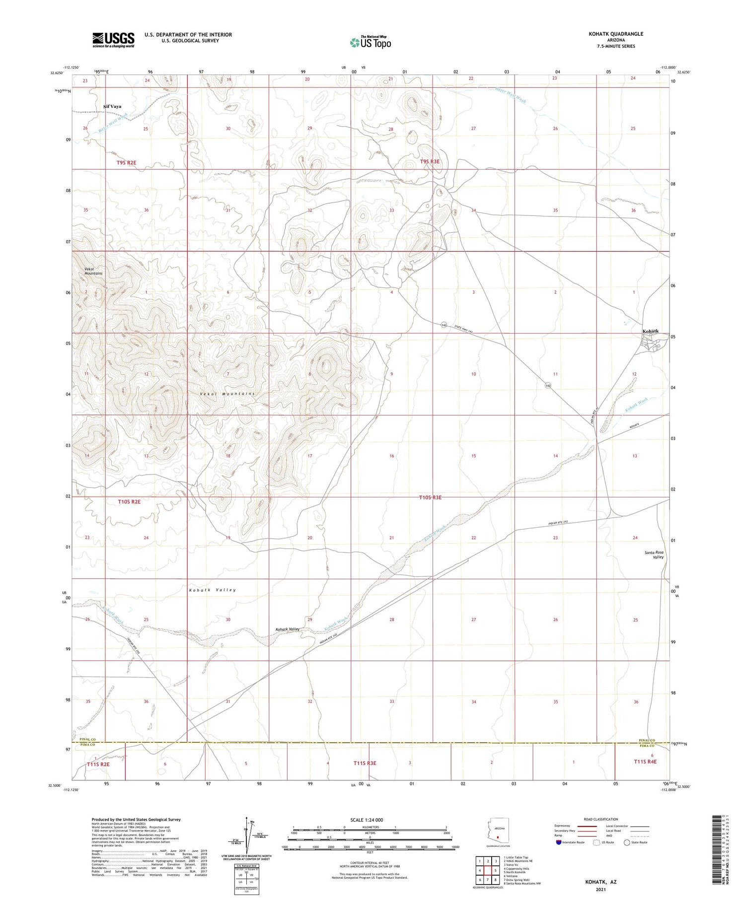
2021 topographic map quadrangle Kohatk in the state of Arizona. Scale: 1:24000. Based on the newly updated USGS 7.5' US Topo map series, this map is in the following counties: Pinal, Pima. The map contains contour data, water features, and other items you are used to seeing on USGS maps, but also has updated roads and other features. This is the next generation of topographic maps. Printed on high-quality waterproof paper with UV fade-resistant inks.
Quads adjacent to this one:
West: Copperosity Hills
Northwest: Little Table Top
North: Vekol Mountains NE
Northeast: Vaiva Vo
East: North Komelik
Southeast: Santa Rosa Mountains NW
South: Drew Spring Well
Southwest: Ventana
This map covers the same area as the classic USGS quad with code o32112e1.
Contains the following named places: Bitter Well, Christmas Gift Mine, Hill Top Mine, Kohatk, Kohatk Census Designated Place, Kohatk Valley, Kohatk Well, Le La Mine, Red Chief Mine, Reward Mine, Sif Vaya, Spundulic Mine, Vekol Mountains


