MyTopo
Creamery Canyon Arizona US Topo Map
Couldn't load pickup availability
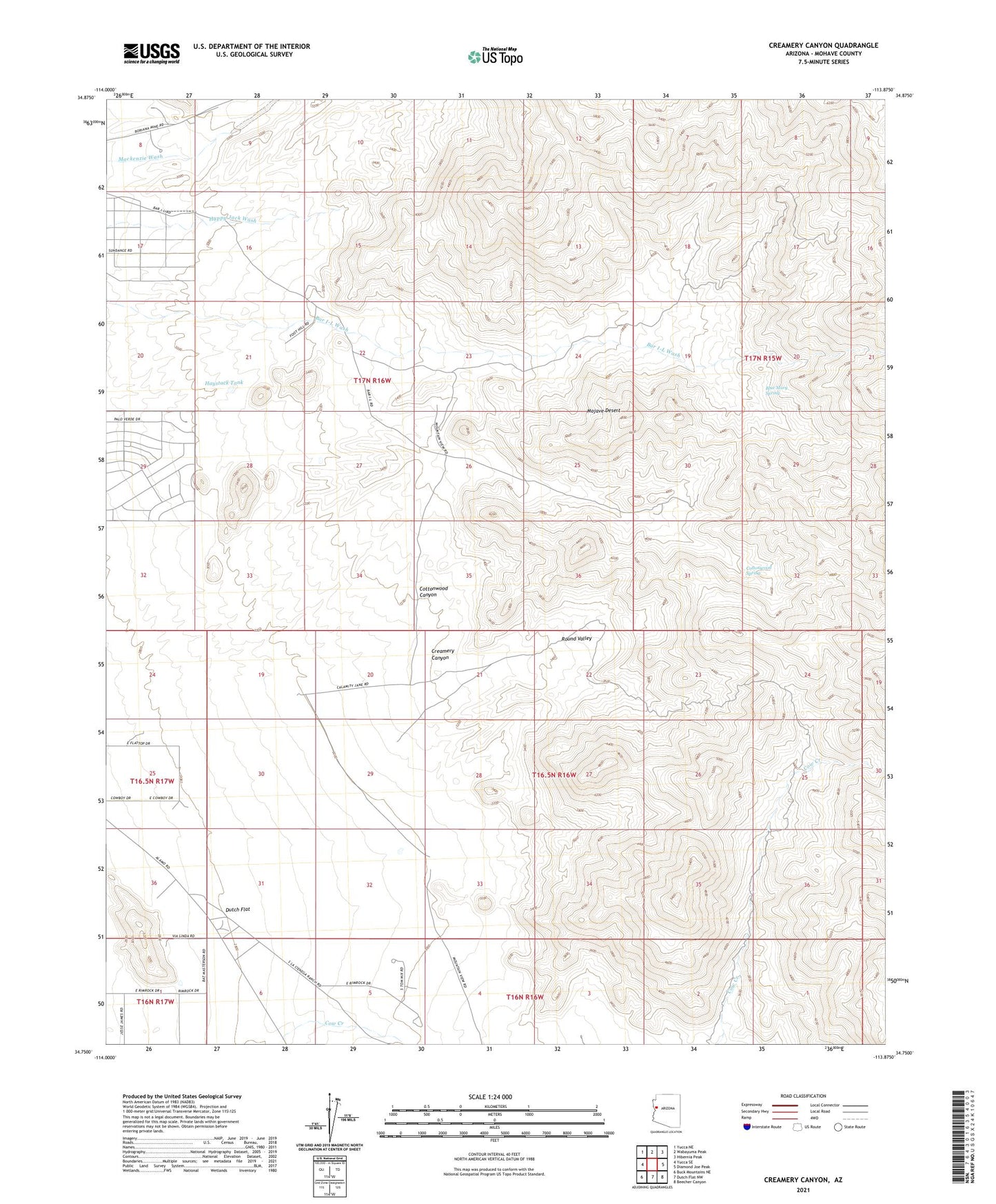
2021 topographic map quadrangle Creamery Canyon in the state of Arizona. Scale: 1:24000. Based on the newly updated USGS 7.5' US Topo map series, this map is in the following counties: Mohave. The map contains contour data, water features, and other items you are used to seeing on USGS maps, but also has updated roads and other features. This is the next generation of topographic maps. Printed on high-quality waterproof paper with UV fade-resistant inks.
Quads adjacent to this one:
West: Yucca SE
Northwest: Yucca NE
North: Wabayuma Peak
Northeast: Hibernia Peak
East: Diamond Joe Peak
Southeast: Beecher Canyon
South: Dutch Flat NW
Southwest: Buck Mountains NE
This map covers the same area as the classic USGS quad with code o34113g8.
Contains the following named places: Blue Mary Spring, Cottonwood Canyon, Cottonwood Spring, Creamery Canyon, Haystack Tank, Round Valley