MyTopo
Dove Spring Arizona US Topo Map
Couldn't load pickup availability
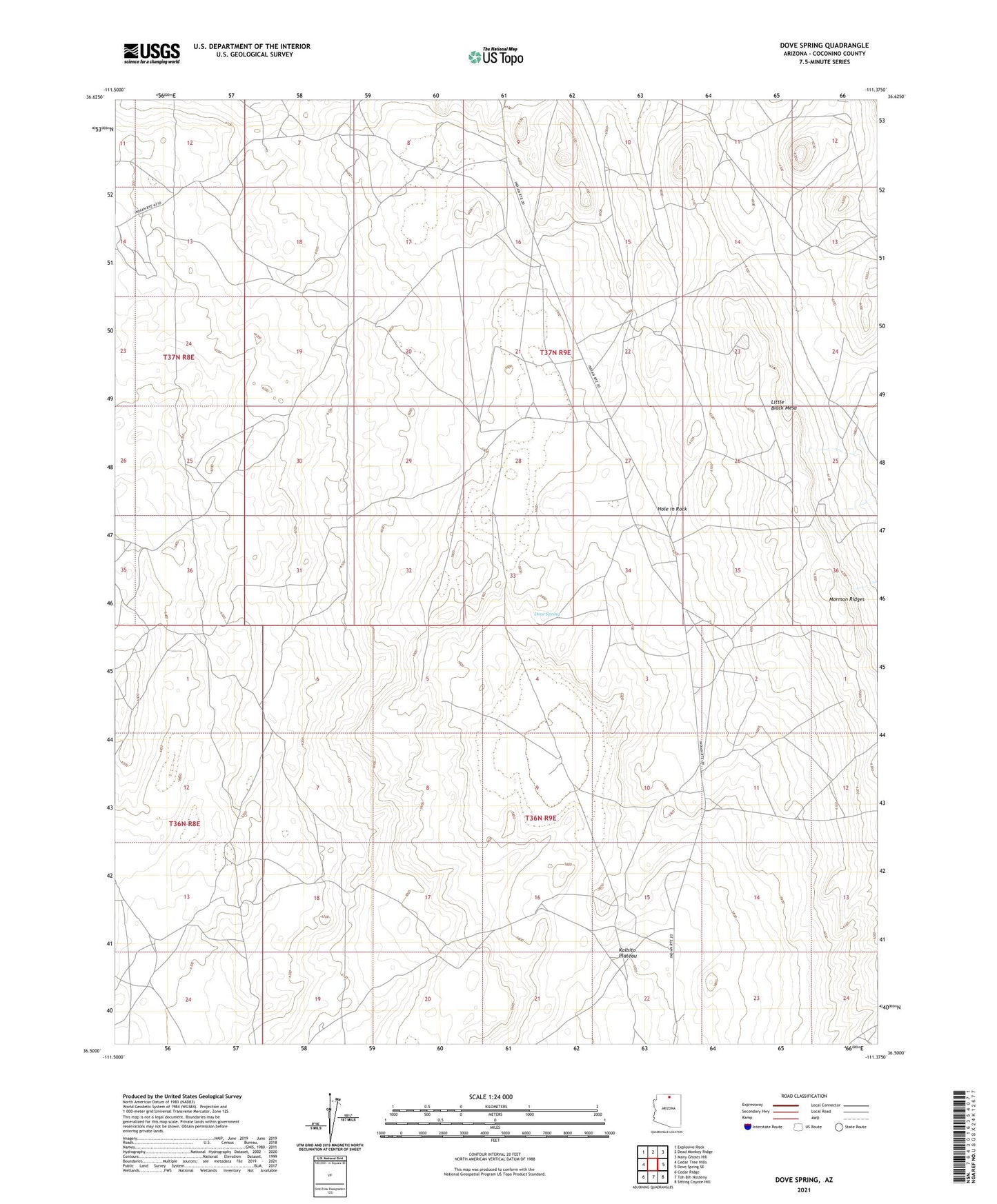
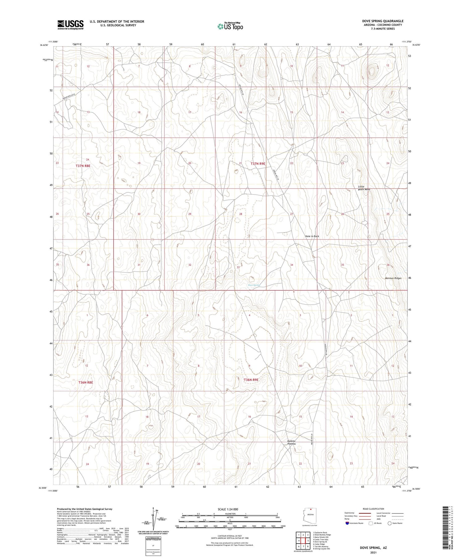
2021 topographic map quadrangle Dove Spring in the state of Arizona. Scale: 1:24000. Based on the newly updated USGS 7.5' US Topo map series, this map is in the following counties: Coconino. The map contains contour data, water features, and other items you are used to seeing on USGS maps, but also has updated roads and other features. This is the next generation of topographic maps. Printed on high-quality waterproof paper with UV fade-resistant inks.
Quads adjacent to this one:
West: Cedar Tree Hills
Northwest: Explosive Rock
North: Dead Monkey Ridge
Northeast: Many Ghosts Hill
East: Dove Spring SE
Southeast: Sitting Coyote Hill
South: Toh Bih Nosteny
Southwest: Cedar Ridge
This map covers the same area as the classic USGS quad with code o36111e4.
Contains the following named places: Cooper Mine Well, Coppermine Chapter, Dove Spring, Hole in Rock, Kai-Si-Kaid Well Number One, Kai-Si-Kaid Well Number Two, Well Number Four, Well Number Three