MyTopo
Cedar Ridge Arizona US Topo Map
Couldn't load pickup availability
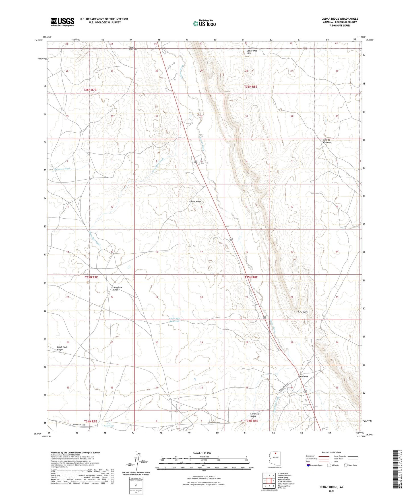
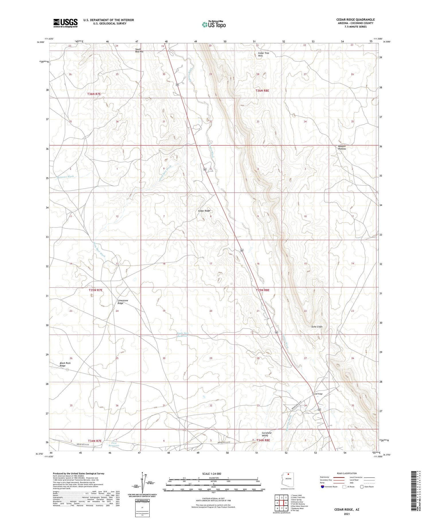
2021 topographic map quadrangle Cedar Ridge in the state of Arizona. Scale: 1:24000. Based on the newly updated USGS 7.5' US Topo map series, this map is in the following counties: Coconino. The map contains contour data, water features, and other items you are used to seeing on USGS maps, but also has updated roads and other features. This is the next generation of topographic maps. Printed on high-quality waterproof paper with UV fade-resistant inks.
Quads adjacent to this one:
West: Shinumo Altar
Northwest: Tanner Well
North: Cedar Tree Hills
Northeast: Dove Spring
East: Toh Bih Nosteny
Southeast: The Gap
South: Bodaway Mesa
Southwest: Blue Moon Reservoir
This map covers the same area as the classic USGS quad with code o36111d5.
Contains the following named places: Cedar Ridge, Eagle Nest Reservoir, Echo Cliffs, First Reservoir, Gray Spot Wash, McClellan Tanks, South Red Hill