
MyTopo
Dry Mountain Arizona US Topo Map
Couldn't load pickup availability
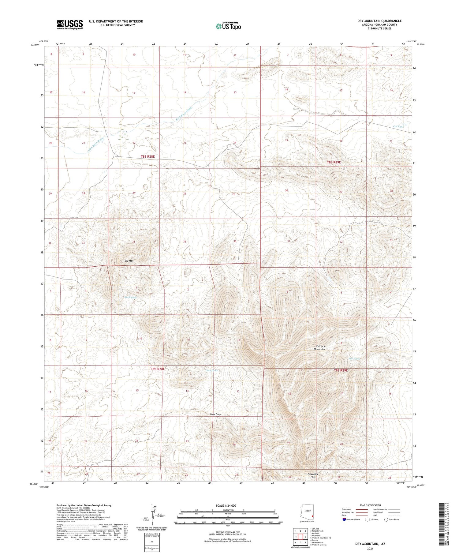
2021 topographic map quadrangle Dry Mountain in the state of Arizona. Scale: 1:24000. Based on the newly updated USGS 7.5' US Topo map series, this map is in the following counties: Graham. The map contains contour data, water features, and other items you are used to seeing on USGS maps, but also has updated roads and other features. This is the next generation of topographic maps. Printed on high-quality waterproof paper with UV fade-resistant inks.
Quads adjacent to this one:
West: Artesia NE
Northwest: San Jose
North: Tollgate Tank
Northeast: Ash Peak
East: Whitlock Mountains NE
Southeast: Whitlock Cienega
South: Javelina Peak
Southwest: Tanque
This map covers the same area as the classic USGS quad with code o32109f4.
Contains the following named places: Cat Tank, Cove Tank, Cove Well, Dry Mountain, Fall Tank, One Eleven Detention Dam, One Hundred Eleven Ranch, Powerline Pass, Rock Tank, Slick Rock Detention Dam, Whitlock Mountains


