
MyTopo
Elbow Canyon Arizona US Topo Map
Couldn't load pickup availability
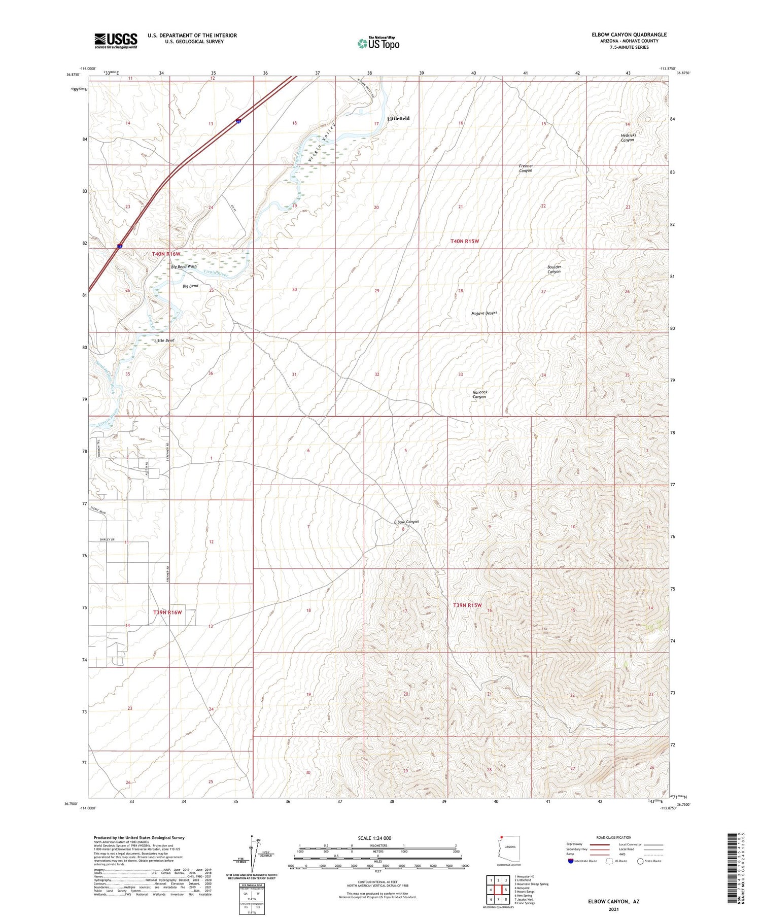
2021 topographic map quadrangle Elbow Canyon in the state of Arizona. Scale: 1:24000. Based on the newly updated USGS 7.5' US Topo map series, this map is in the following counties: Mohave. The map contains contour data, water features, and other items you are used to seeing on USGS maps, but also has updated roads and other features. This is the next generation of topographic maps. Printed on high-quality waterproof paper with UV fade-resistant inks.
Quads adjacent to this one:
West: Mesquite
Northwest: Mesquite NE
North: Littlefield
Northeast: Mountain Sheep Spring
East: Mount Bangs
Southeast: Cane Springs
South: Jacobs Well
Southwest: Hen Spring
This map covers the same area as the classic USGS quad with code o36113g8.
Contains the following named places: Big Bend, Big Bend Wash, Boulder Canyon, Coon Creek, Elbow Canyon, Frehner Canyon, Hancock Canyon, Hedricks Canyon, Little Bend, Littlefield Census Designated Place, Sand Hollow Wash


