MyTopo
Elliott Canyon Arizona US Topo Map
Couldn't load pickup availability
Also explore the Elliott Canyon Forest Service Topo of this same quad for updated USFS data
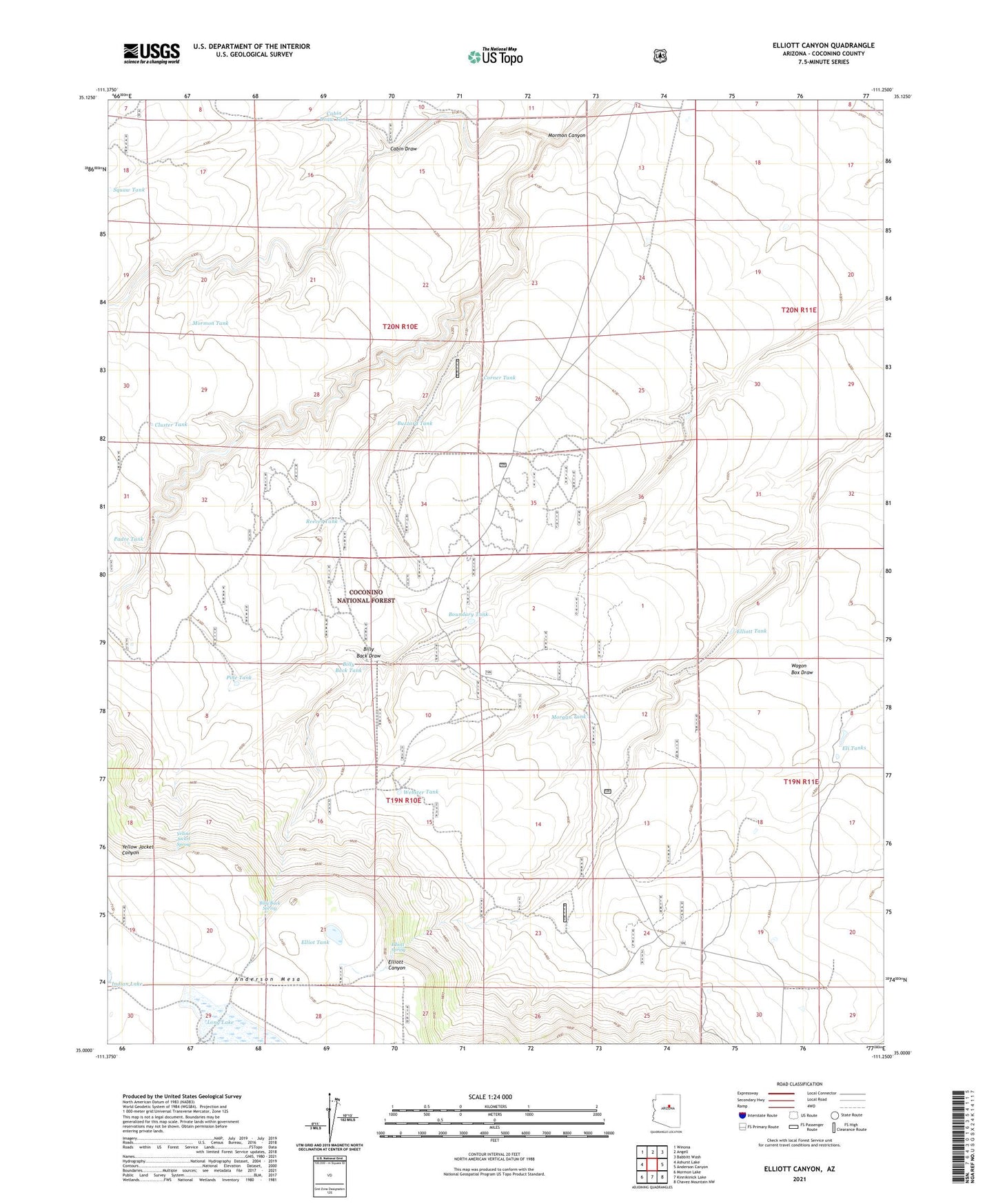
2023 topographic map quadrangle Elliott Canyon in the state of Arizona. Scale: 1:24000. Based on the newly updated USGS 7.5' US Topo map series, this map is in the following counties: Coconino. The map contains contour data, water features, and other items you are used to seeing on USGS maps, but also has updated roads and other features. This is the next generation of topographic maps. Printed on high-quality waterproof paper with UV fade-resistant inks.
Quads adjacent to this one:
West: Ashurst Lake
Northwest: Winona
North: Angell
Northeast: Babbitt Wash
East: Anderson Canyon
Southeast: Chavez Mountain NW
South: Kinnikinick Lake
Southwest: Mormon Lake
This map covers the same area as the classic USGS quad with code o35111a3.
Contains the following named places: Billy Back Draw, Billy Back Spring, Billy Back Tank, Boundary Tank, Browse Tank, Buzzard Tank, Cabin Draw, Cabin Draw Tank, Cedar Dam, Cluster Tank, Corner Tank, Eli Tanks, Elliot Tank, Elliott Spring, Elliott Tank, Morgan Tank, Mormon Canyon, Mormon Tank, Padre Tank, Pine Tank, Reeves Tank, Squaw Tank, Walters Well, Webster Tank, Winton Well, Yellow Jacket Spring