MyTopo
Mormon Lake Arizona US Topo Map
Couldn't load pickup availability
Also explore the Mormon Lake Forest Service Topo of this same quad for updated USFS data
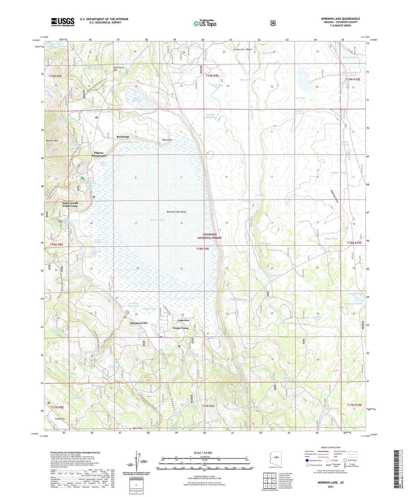
2021 topographic map quadrangle Mormon Lake in the state of Arizona. Scale: 1:24000. Based on the newly updated USGS 7.5' US Topo map series, this map is in the following counties: Coconino. The map contains contour data, water features, and other items you are used to seeing on USGS maps, but also has updated roads and other features. This is the next generation of topographic maps. Printed on high-quality waterproof paper with UV fade-resistant inks.
Quads adjacent to this one:
West: Mormon Mountain
Northwest: Lower Lake Mary
North: Ashurst Lake
Northeast: Elliott Canyon
East: Kinnikinick Lake
Southeast: Jaycox Mountain
South: Hutch Mountain
Southwest: Stoneman Lake
This map covers the same area as the classic USGS quad with code o34111h4.
Contains the following named places: Airplane Tank, Ashurst Tank, Bass Point, Breezy Lake, Breezy Number Two Tank, Burn Tank, Camillo Tank, Camp Tank, Clay Tank, Dairy Spring, Dairy Springs Campground, Dairy Tank, Dandy Tank, Ditch Tank, Double Springs, Double Springs Campground, Dry Lake Tank, Ducksnest Lake, Flying M Ranch, Flying M Tank, Fulton Canyon, Fulton Spring, Fulton Tank, Grass Flat Tank, Gravel Tank, Hart Tank, Hennsey Tank, Homestead Spring, Iowa Camp Spring, Juniper Tank, La Negrita Tank, Lakeview, Landing Strip Tank, Loading Chute Tank, Lockwood Spring, Logging Camp Seep Tank, Long Park, Low Tank, Mayflower Spring, Mormon Lake, Mormon Lake Census Designated Place, Mormon Lake Lookout Tower, Mormon Lake Post Office, Mormon Lake Valley, Mormon Lake Volunteer Fire Department, Mormon Ranger Station, Navajo Spring, Perry Lake, Pilgrim Playground, Pine Grove Hill, Pine Grove Number One Tank, Pine Grove Number Two Tank, Power Line Tank, Quarter Tank, Railroad Spring, Reed Lake Tank, Roadside Tank, Rockledge, Rockledge Tank, Roque Tank, Saint Joseph Youth Camp, Screen Tank, Section One Tank, Section Six Tank, Sedge Spring, Smith Spring, Smith Tank, Spring Beach Spring, Spur Tank, Tempe Camp, Tonys Tank, Unknown Tank, V J Tank, Wallace Lake, Wallace Spring, West Fork Tank, ZIP Code: 86038


