MyTopo
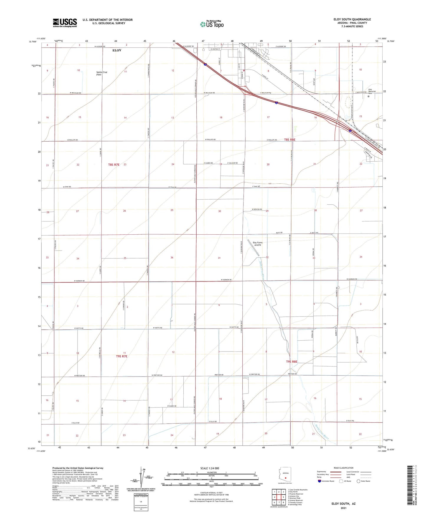
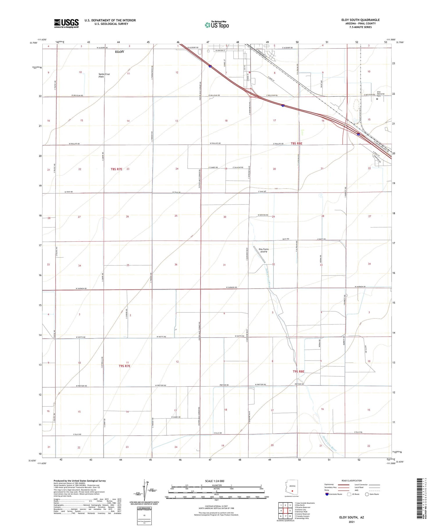
Eloy South Arizona US Topo Map
Couldn't load pickup availability
2021 topographic map quadrangle Eloy South in the state of Arizona. Scale: 1:24000. Based on the newly updated USGS 7.5' US Topo map series, this map is in the following counties: Pinal. The map contains contour data, water features, and other items you are used to seeing on USGS maps, but also has updated roads and other features. This is the next generation of topographic maps. Printed on high-quality waterproof paper with UV fade-resistant inks.
Quads adjacent to this one:
West: Arizona City
Northwest: Casa Grande Mountains
North: Eloy North
Northeast: Picacho Reservoir
East: Newman Peak
Southeast: Samaniego Hills
South: Friendly Corners
Southwest: Greene Reservoir
This map covers the same area as the classic USGS quad with code o32111f5.
Contains the following named places: Central Main Canal, City of Eloy, Curiel Elementary School Annex, Curiel School Mini Park Site, Eds Field, Eloy Business Park, Eloy Division, Eloy Farms Airstrip, Eloy Fire District Station 521, Eloy Memorial Park, KKAF-FM (Eloy), KONZ-FM (Arizona City), Picacho Overpass, Santa Cruz Flats, Santa Cruz River, Westside Church of God in Christ, ZIP Code: 85131