MyTopo
Flatiron Mountain Arizona US Topo Map
Couldn't load pickup availability
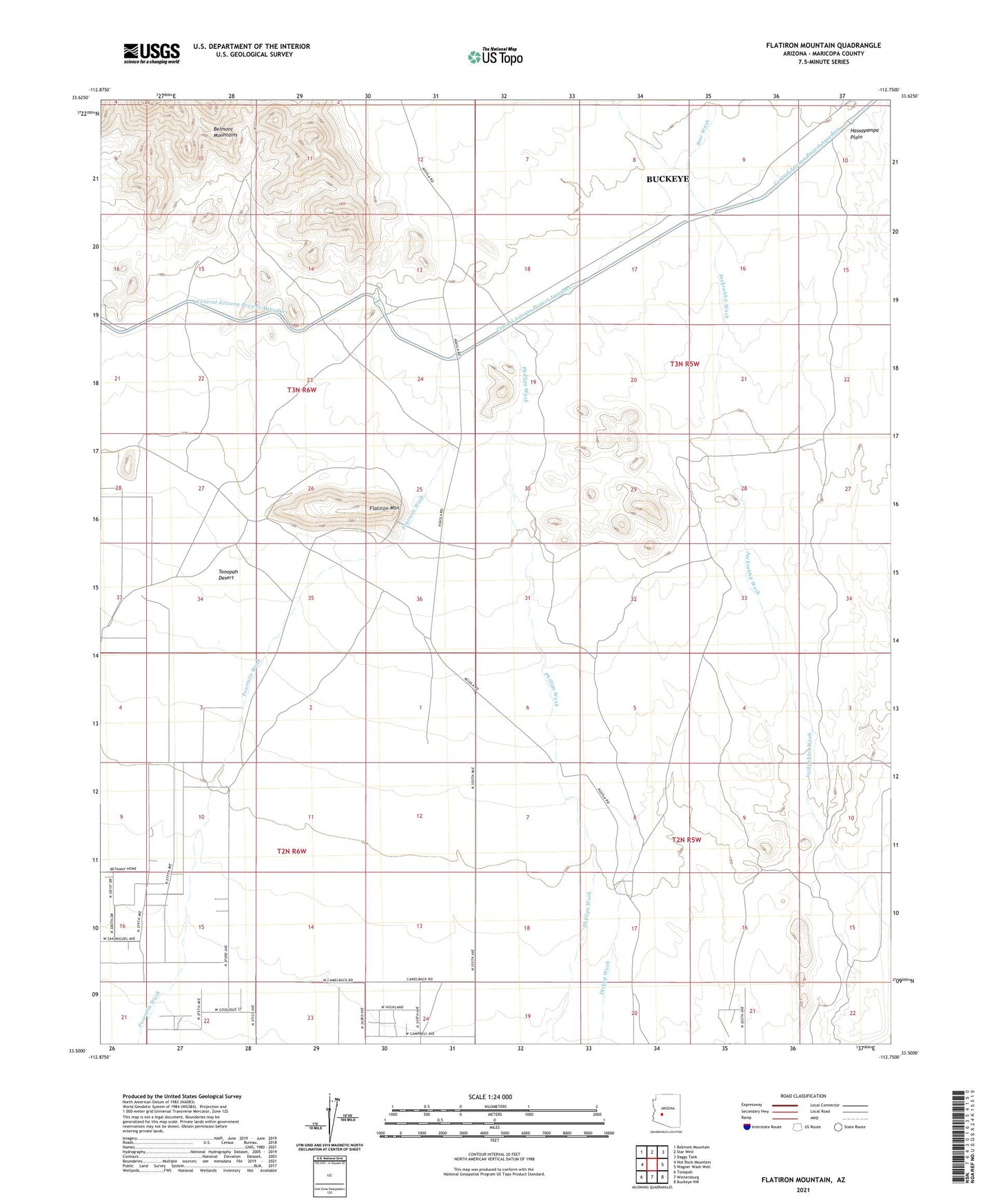
2021 topographic map quadrangle Flatiron Mountain in the state of Arizona. Scale: 1:24000. Based on the newly updated USGS 7.5' US Topo map series, this map is in the following counties: Maricopa. The map contains contour data, water features, and other items you are used to seeing on USGS maps, but also has updated roads and other features. This is the next generation of topographic maps. Printed on high-quality waterproof paper with UV fade-resistant inks.
Quads adjacent to this one:
West: Hot Rock Mountain
Northwest: Belmont Mountain
North: Star Well
Northeast: Daggs Tank
East: Wagner Wash Well
Southeast: Buckeye NW
South: Wintersburg
Southwest: Tonopah
This map covers the same area as the classic USGS quad with code o33112e7.
Contains the following named places: Coyote Wash, East Well, Flatiron Mountain, Flatiron Well, Jones Tank, Northwest Well, Roberts Well, South Tank, South Well, Star Wash, Waltenberry Field Ultralight Flightpark