MyTopo
Tonopah Arizona US Topo Map
Couldn't load pickup availability
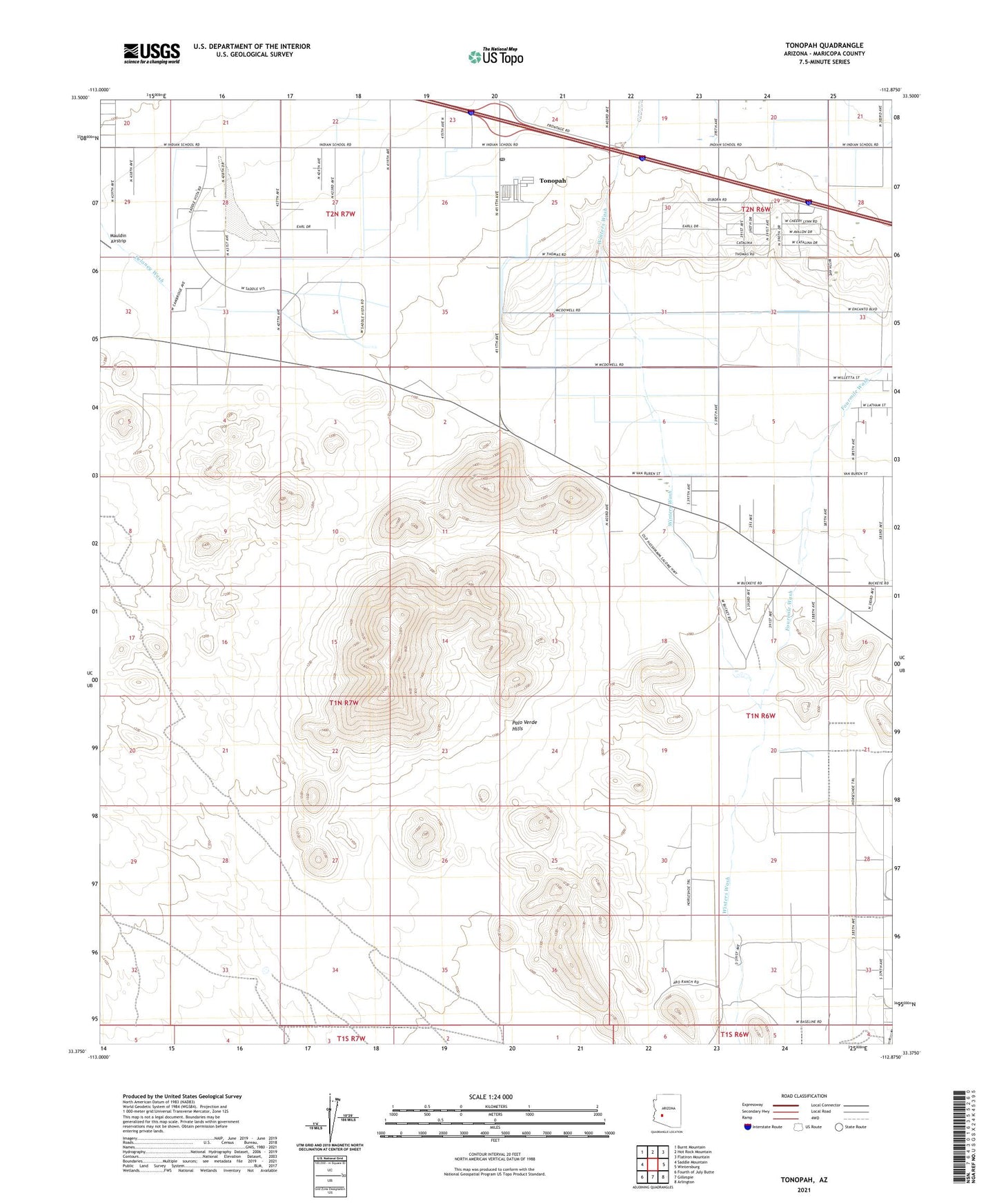
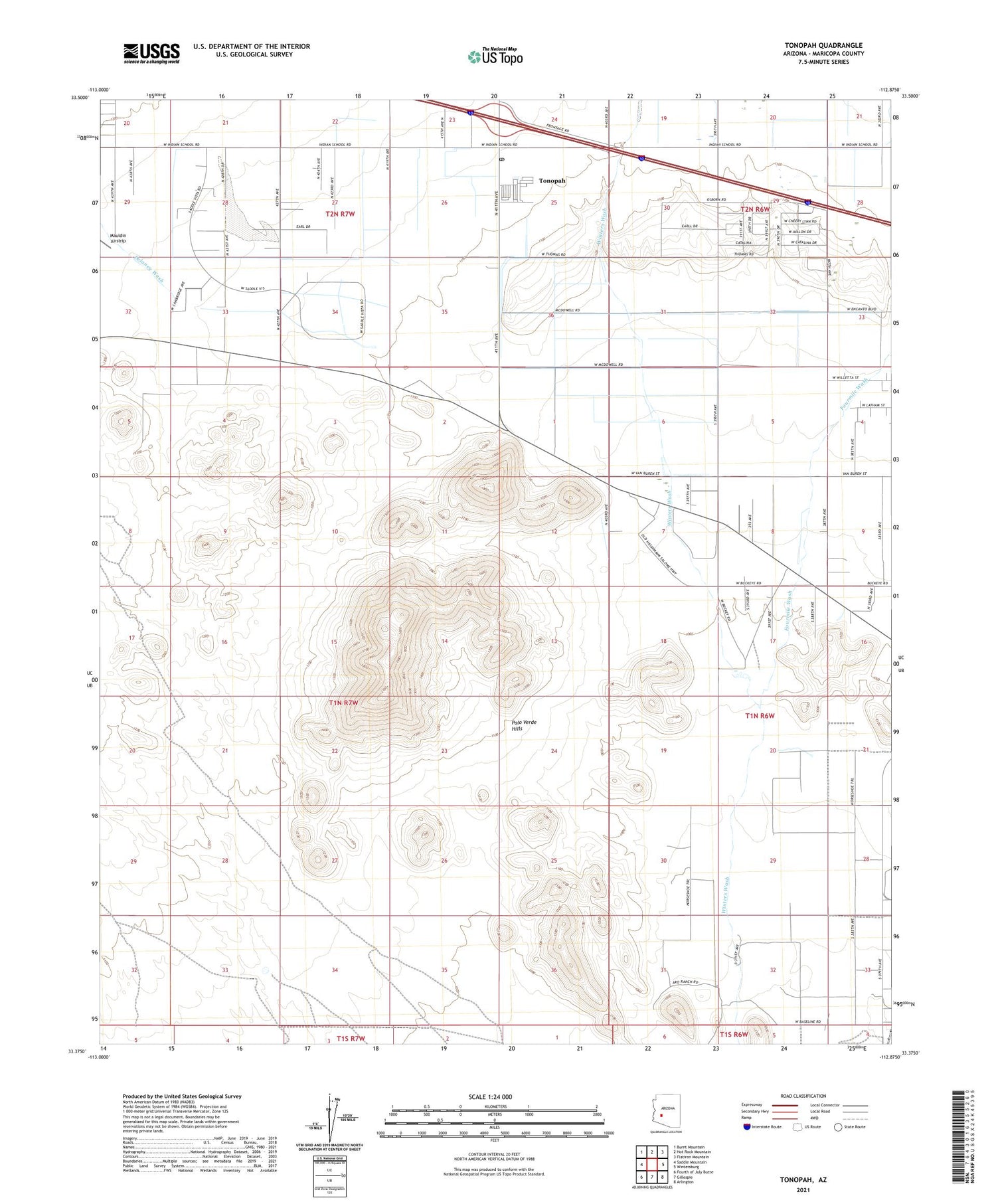
2021 topographic map quadrangle Tonopah in the state of Arizona. Scale: 1:24000. Based on the newly updated USGS 7.5' US Topo map series, this map is in the following counties: Maricopa. The map contains contour data, water features, and other items you are used to seeing on USGS maps, but also has updated roads and other features. This is the next generation of topographic maps. Printed on high-quality waterproof paper with UV fade-resistant inks.
Quads adjacent to this one:
West: Saddle Mountain
Northwest: Burnt Mountain
North: Hot Rock Mountain
Northeast: Flatiron Mountain
East: Wintersburg
Southeast: Arlington
South: Gillespie
Southwest: Fourth of July Butte
This map covers the same area as the classic USGS quad with code o33112d8.
Contains the following named places: Delaney Wash, Delaney Well, Fourmile Wash, Jagow Well, Lazy Y Ranch, Mauldin Airstrip, Palo Verde Hills, Palo Verde Mobile Home and Recreational Vehicle Park, Saddle Mountain Recreational Vehicle Park, Tonopah, Tonopah Census Designated Place, Tonopah Post Office, Tonopah Substation, Winters Well