
MyTopo
Fortuna Mine Arizona US Topo Map
Couldn't load pickup availability
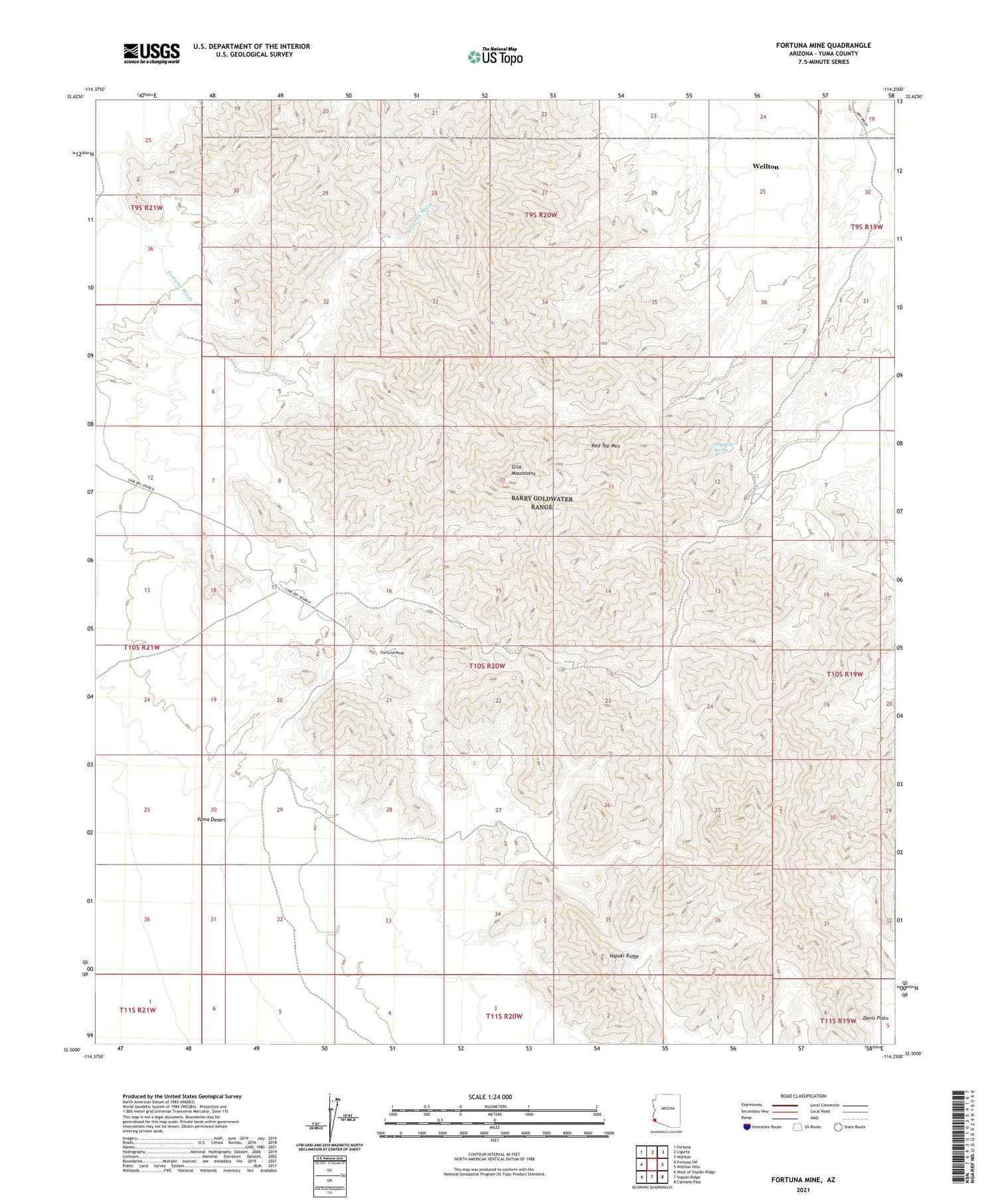
2021 topographic map quadrangle Fortuna Mine in the state of Arizona. Scale: 1:24000. Based on the newly updated USGS 7.5' US Topo map series, this map is in the following counties: Yuma. The map contains contour data, water features, and other items you are used to seeing on USGS maps, but also has updated roads and other features. This is the next generation of topographic maps. Printed on high-quality waterproof paper with UV fade-resistant inks.
Quads adjacent to this one:
West: Fortuna SW
Northwest: Fortuna
North: Ligurta
Northeast: Wellton
East: Wellton Hills
Southeast: Cipriano Pass
South: Vopoki Ridge
Southwest: West of Vopoki Ridge
This map covers the same area as the classic USGS quad with code o32114e3.
Contains the following named places: Black Butte Mine, Dripping Spring, Fortuna Mine, Gila Mountains, Golden Dream Mine, Mica Mine, Red Top Mountain


