MyTopo
Ganado Arizona US Topo Map
Couldn't load pickup availability
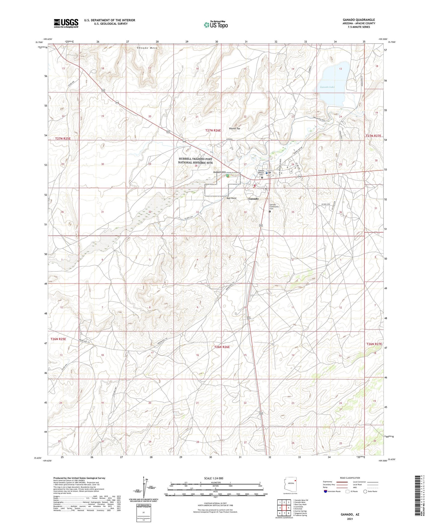
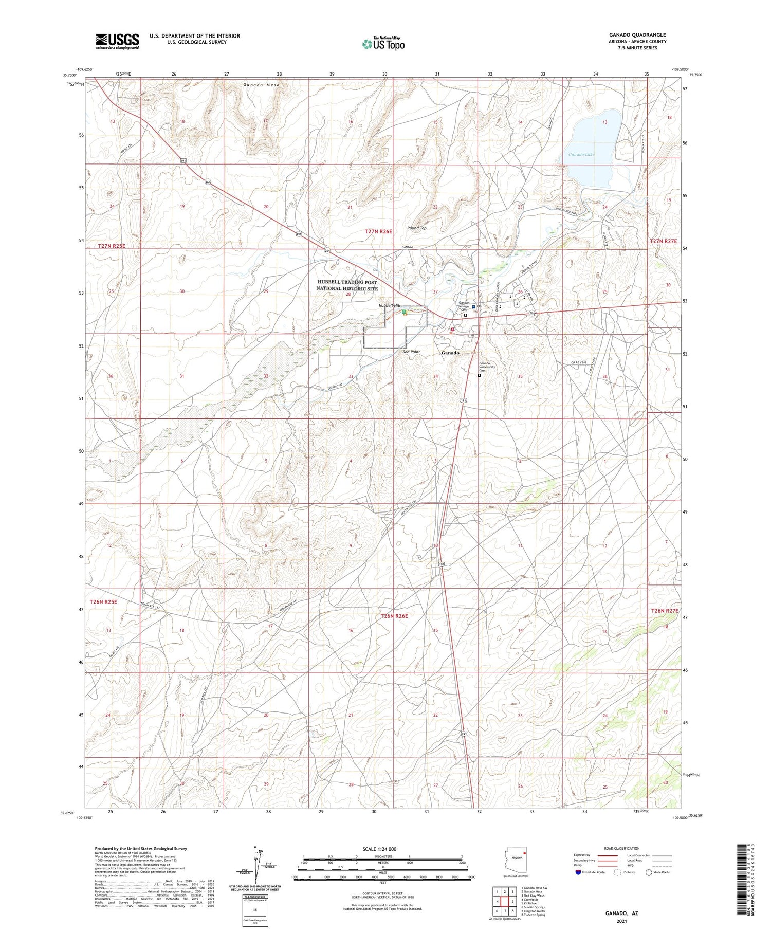
2021 topographic map quadrangle Ganado in the state of Arizona. Scale: 1:24000. Based on the newly updated USGS 7.5' US Topo map series, this map is in the following counties: Apache. The map contains contour data, water features, and other items you are used to seeing on USGS maps, but also has updated roads and other features. This is the next generation of topographic maps. Printed on high-quality waterproof paper with UV fade-resistant inks.
Quads adjacent to this one:
West: Cornfields
Northwest: Ganado Mesa SW
North: Ganado Mesa
Northeast: Red Clay Wash
East: Kinlichee
Southeast: Tudecoz Spring
South: Klagetoh North
Southwest: Sunrise Springs
This map covers the same area as the classic USGS quad with code o35109f5.
Contains the following named places: College of Ganado, Cottonwood Park, Ella Mae Well, Ganado, Ganado Airport, Ganado Ambulance Service, Ganado Census Designated Place, Ganado Community Cemetery, Ganado Dam, Ganado Fire Department, Ganado Intermediate School, Ganado Lake, Ganado Lake Campground, Ganado Lake Well, Ganado Middle School, Ganado Mission Cemetery, Ganado Post Office, Ganado Primary School, Ganado Trading Post, Hubbell Hill, Hubbell Trading Post National Historic Site, Joes Well, Naakai N Daachaahi Wash, Red Point, Round Top, Round Top Trading Post, Sage Memorial Hospital