MyTopo
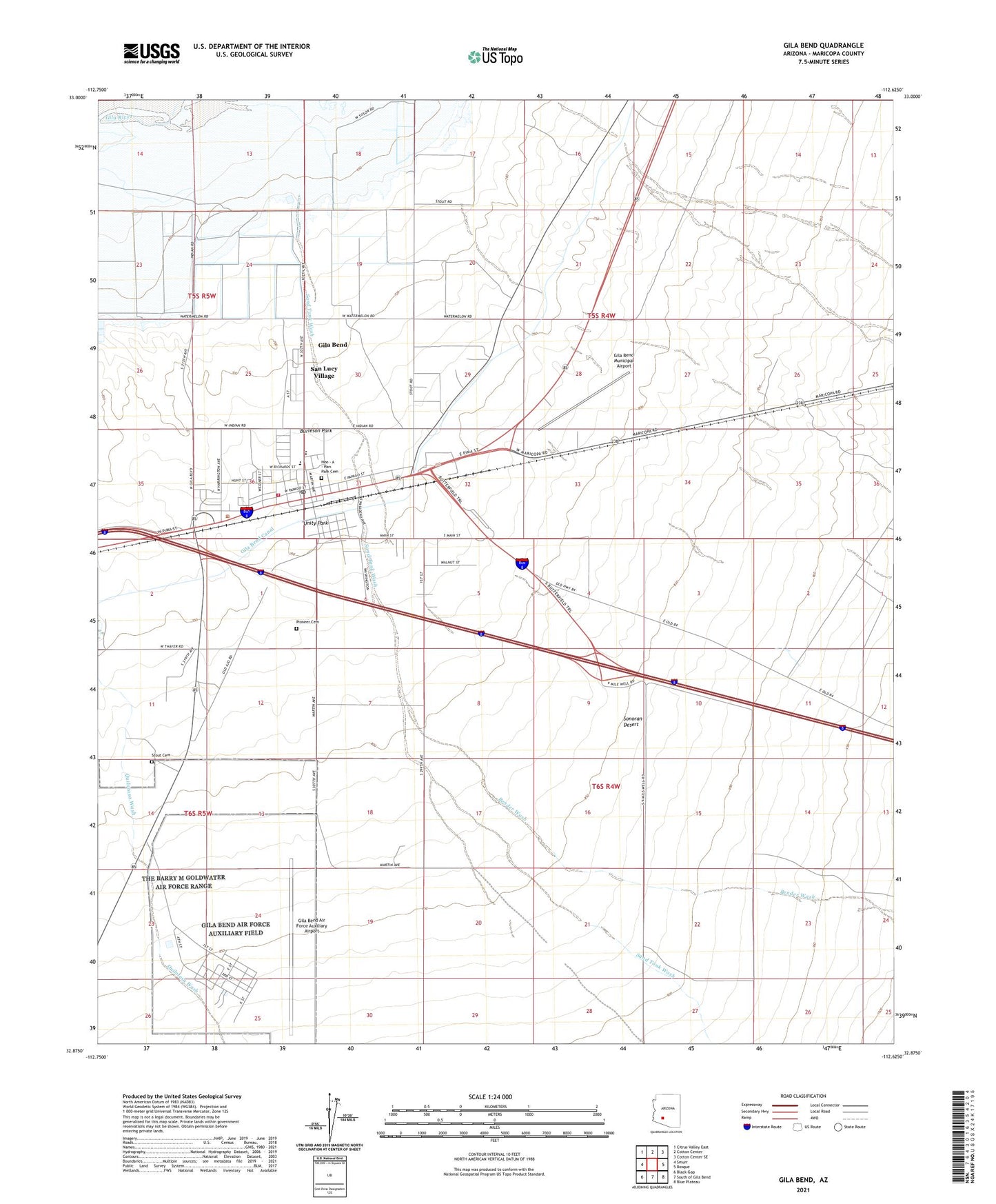
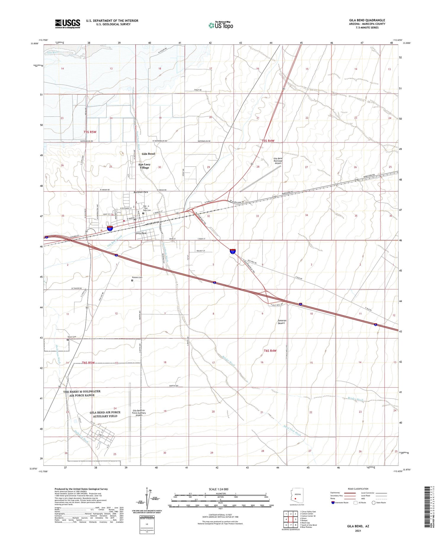
Gila Bend Arizona US Topo Map
Couldn't load pickup availability
2021 topographic map quadrangle Gila Bend in the state of Arizona. Scale: 1:24000. Based on the newly updated USGS 7.5' US Topo map series, this map is in the following counties: Maricopa. The map contains contour data, water features, and other items you are used to seeing on USGS maps, but also has updated roads and other features. This is the next generation of topographic maps. Printed on high-quality waterproof paper with UV fade-resistant inks.
Quads adjacent to this one:
West: Smurr
Northwest: Citrus Valley East
North: Cotton Center
Northeast: Cotton Center SE
East: Bosque
Southeast: Blue Plateau
South: South of Gila Bend
Southwest: Black Gap
This map covers the same area as the classic USGS quad with code o32112h6.
Contains the following named places: Arizona Highway Maintenance Gila Bend Yard, Augie's Quail Trail Recreational Vehicle Resort, Bender Wash, Burleson Park, Coledon, Faith Assembly of God, First Baptist Church, Gatlin Site, Gila Bend, Gila Bend Air Force Auxiliary Airport, Gila Bend District, Gila Bend Elementary School, Gila Bend High School, Gila Bend Municipal Airport, Gila Bend Post Office, Gila Bend Railroad Station, Gila Bend Town Hall, Hee - A - Han Park Cemetery, Hunts Airport, Kiser Elementary School, Maricopa County Library District Gila Bend Branch, Maricopa Sheriff's Office Gila Bend Substation, Pioneer Cemetery, Rest Area One-hundred Twenty-nine MP, San Lucy Village, Sand Tank Wash, Sil Murk, Sonoran Desert, Stout Cemetery, The Church of Jesus Christ of Latter Day Saints, Town of Gila Bend, Unity Park, ZIP Code: 85337


