MyTopo
Smurr Arizona US Topo Map
Couldn't load pickup availability
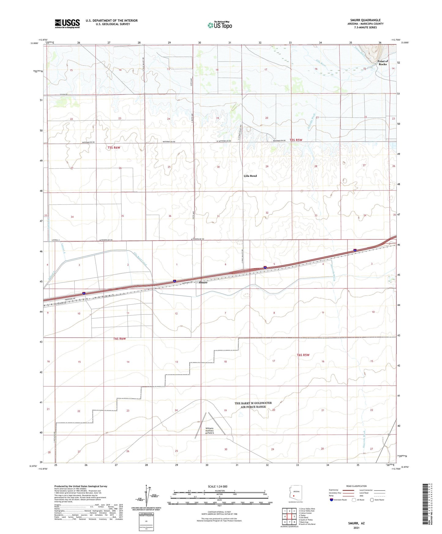
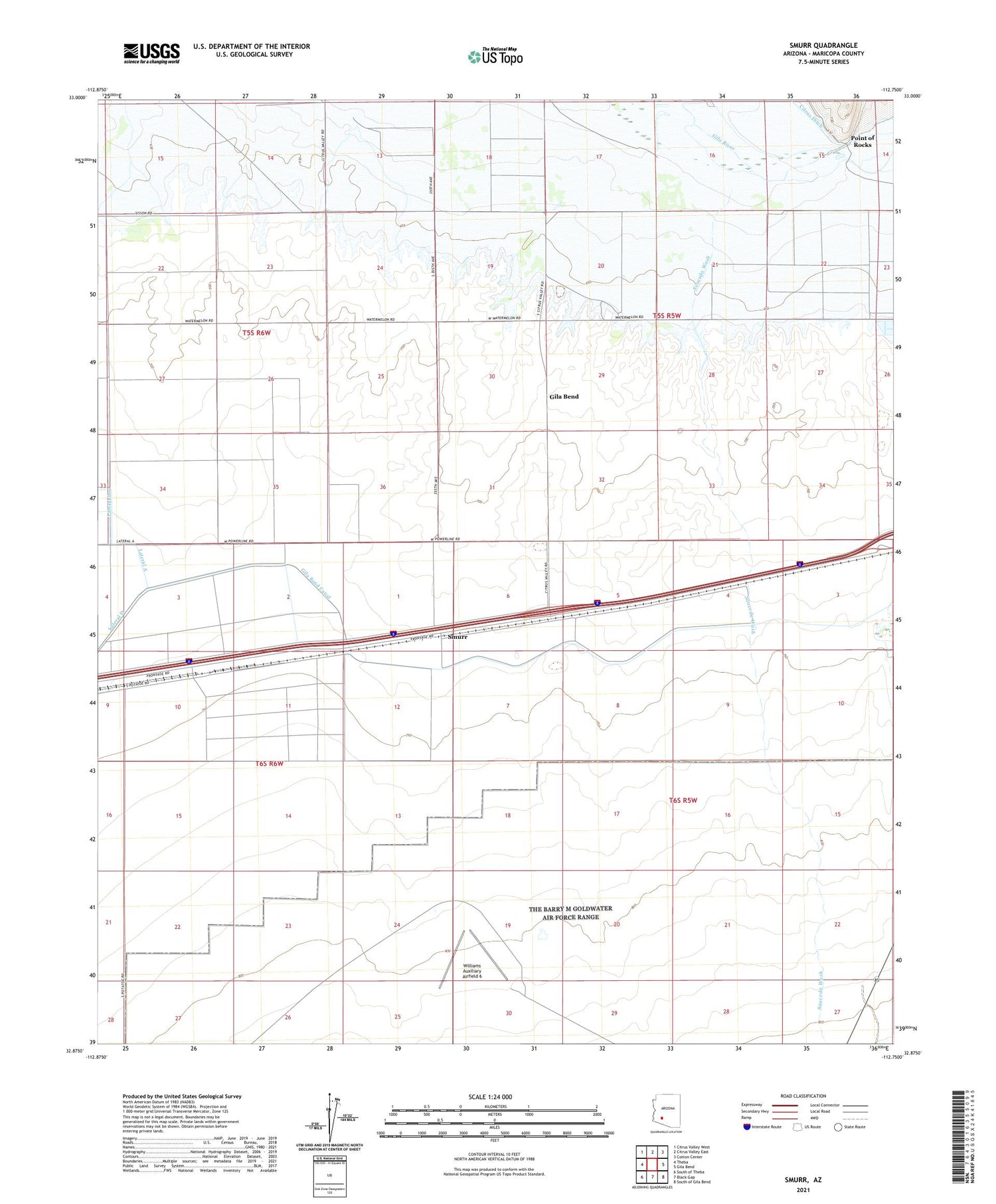
2021 topographic map quadrangle Smurr in the state of Arizona. Scale: 1:24000. Based on the newly updated USGS 7.5' US Topo map series, this map is in the following counties: Maricopa. The map contains contour data, water features, and other items you are used to seeing on USGS maps, but also has updated roads and other features. This is the next generation of topographic maps. Printed on high-quality waterproof paper with UV fade-resistant inks.
Quads adjacent to this one:
West: Theba
Northwest: Citrus Valley West
North: Citrus Valley East
Northeast: Cotton Center
East: Gila Bend
Southeast: South of Gila Bend
South: Black Gap
Southwest: South of Theba
This map covers the same area as the classic USGS quad with code o32112h7.
Contains the following named places: Gila Bend Substation, Point of Rocks, Quilotosa Wash, Sauceda Wash, Smurr, Theba Substation, Williams Auxiliary Airfield 6