MyTopo
Grand Falls NE Arizona US Topo Map
Couldn't load pickup availability
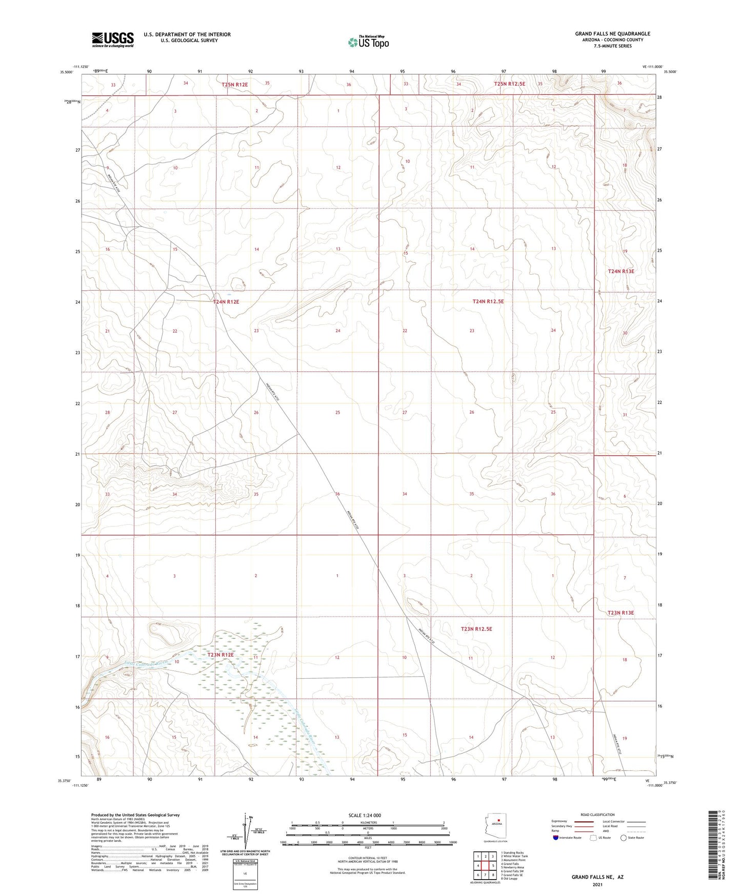
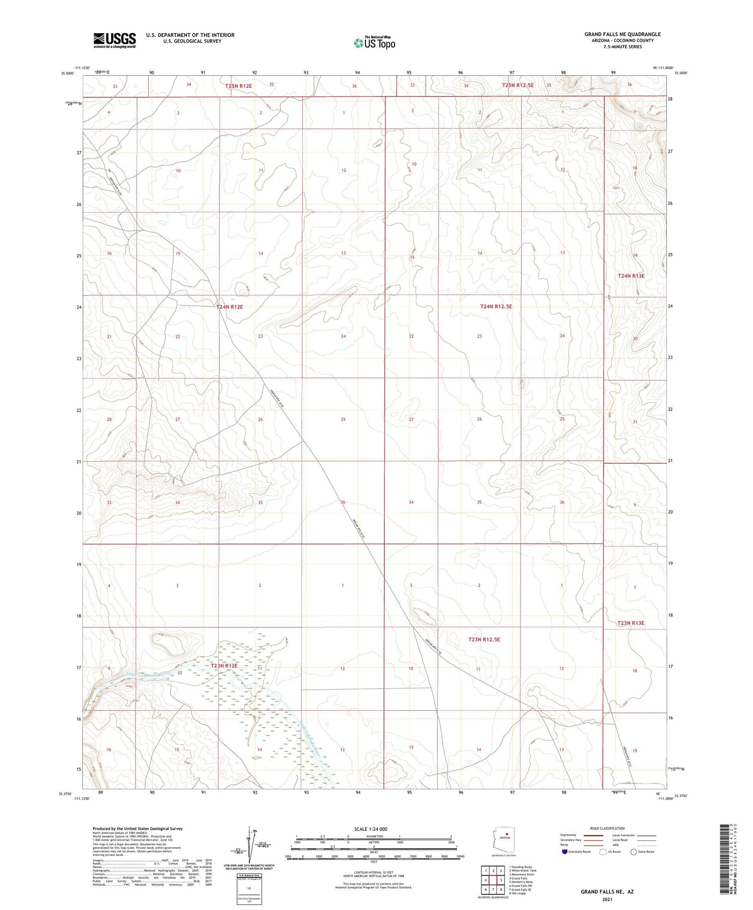
2021 topographic map quadrangle Grand Falls NE in the state of Arizona. Scale: 1:24000. Based on the newly updated USGS 7.5' US Topo map series, this map is in the following counties: Coconino. The map contains contour data, water features, and other items you are used to seeing on USGS maps, but also has updated roads and other features. This is the next generation of topographic maps. Printed on high-quality waterproof paper with UV fade-resistant inks.
Quads adjacent to this one:
West: Grand Falls
Northwest: Standing Rocks
North: White Water Tank
Northeast: Monument Point
East: Newberry Mesa
Southeast: Old Leupp
South: Grand Falls SE
Southwest: Grand Falls SW
This map covers the same area as the classic USGS quad with code o35111d1.
Contains the following named places: Wolf Crossing