
MyTopo
Grand Falls SE Arizona US Topo Map
Couldn't load pickup availability
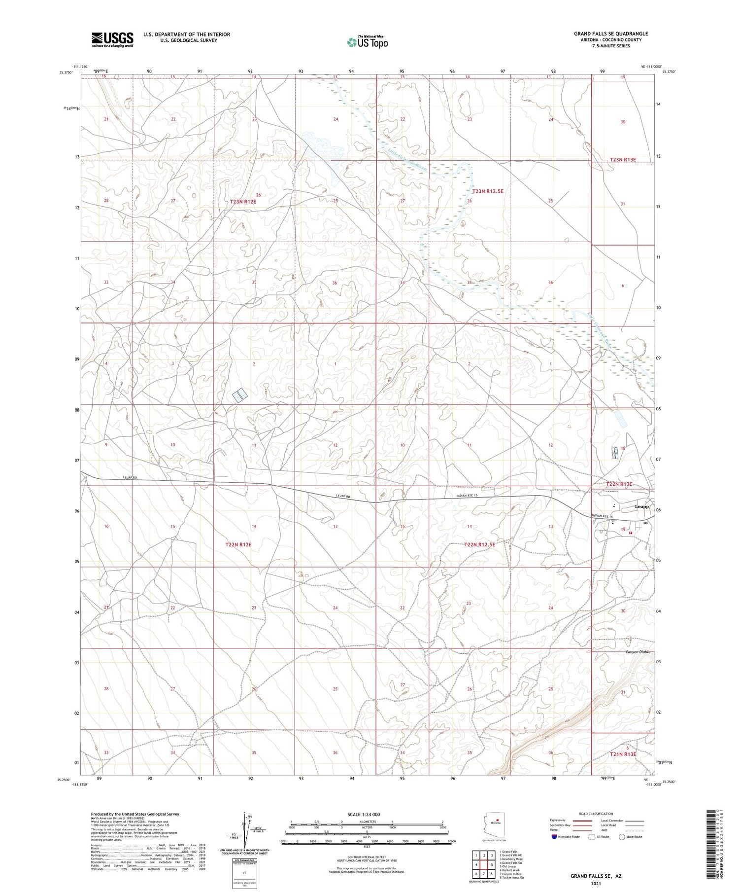
2021 topographic map quadrangle Grand Falls SE in the state of Arizona. Scale: 1:24000. Based on the newly updated USGS 7.5' US Topo map series, this map is in the following counties: Coconino. The map contains contour data, water features, and other items you are used to seeing on USGS maps, but also has updated roads and other features. This is the next generation of topographic maps. Printed on high-quality waterproof paper with UV fade-resistant inks.
Quads adjacent to this one:
West: Grand Falls SW
Northwest: Grand Falls
North: Grand Falls NE
Northeast: Newberry Mesa
East: Old Leupp
Southeast: Tucker Mesa NW
South: Canyon Diablo
Southwest: Babbitt Wash
This map covers the same area as the classic USGS quad with code o35111c1.
Contains the following named places: Headstart School, Leupp, Leupp Boarding School, Leupp Census Designated Place, Leupp Chapter, Leupp Schools, Navajo Nation Department of Fire and Rescue Services Station 80 Leupp


