MyTopo
Hard Rocks Arizona US Topo Map
Couldn't load pickup availability
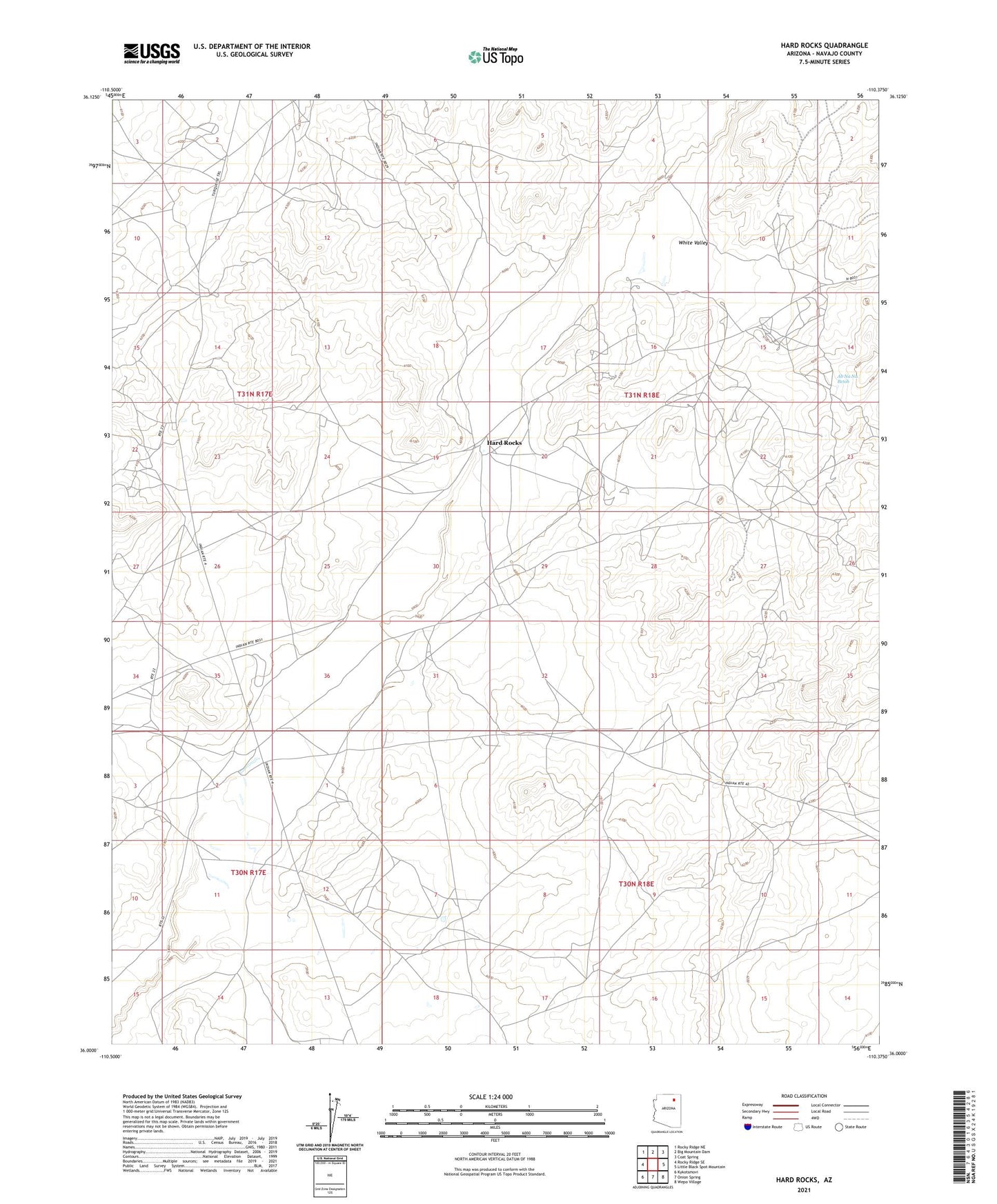
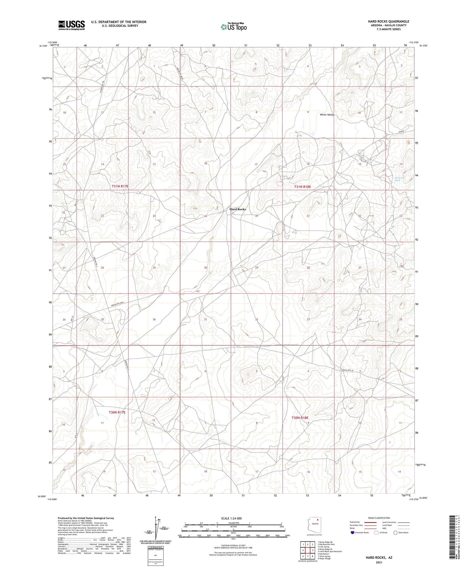
2021 topographic map quadrangle Hard Rocks in the state of Arizona. Scale: 1:24000. Based on the newly updated USGS 7.5' US Topo map series, this map is in the following counties: Navajo. The map contains contour data, water features, and other items you are used to seeing on USGS maps, but also has updated roads and other features. This is the next generation of topographic maps. Printed on high-quality waterproof paper with UV fade-resistant inks.
Quads adjacent to this one:
West: Rocky Ridge SE
Northwest: Rocky Ridge NE
North: Big Mountain Dam
Northeast: Coat Spring
East: Little Black Spot Mountain
Southeast: Wepo Village
South: Onion Spring
Southwest: Kykotsmovi
This map covers the same area as the classic USGS quad with code o36110a4.
Contains the following named places: Ah Na Na Betoh, Hard Rock Chapter, Hard Rocks, Hard Rocks Dam, RU351, Tse Tai De Linne Well, White Valley