MyTopo
Hay Mountain Arizona US Topo Map
Couldn't load pickup availability
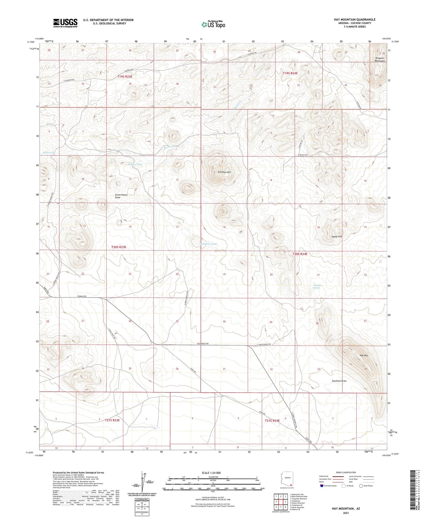
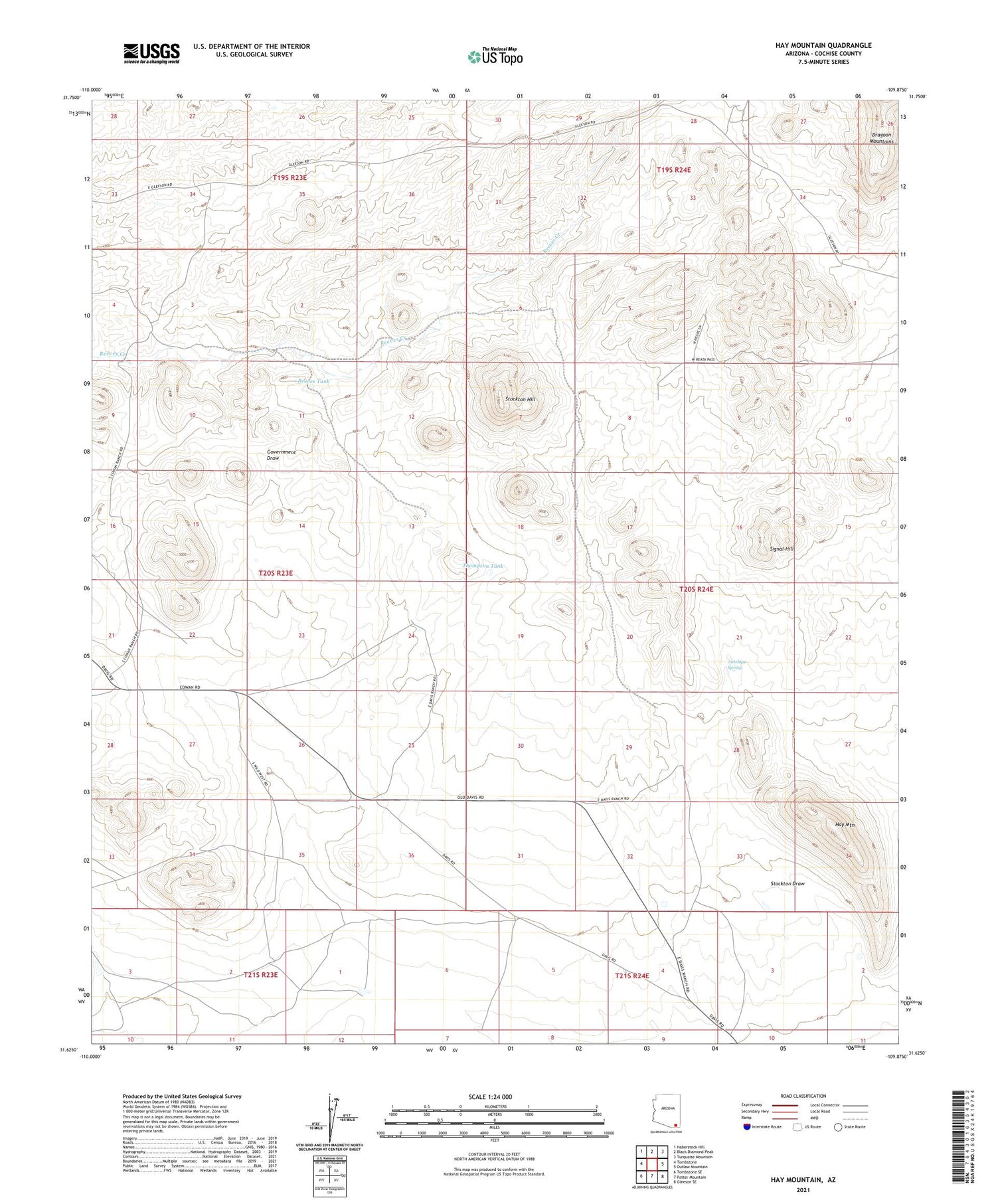
2021 topographic map quadrangle Hay Mountain in the state of Arizona. Scale: 1:24000. Based on the newly updated USGS 7.5' US Topo map series, this map is in the following counties: Cochise. The map contains contour data, water features, and other items you are used to seeing on USGS maps, but also has updated roads and other features. This is the next generation of topographic maps. Printed on high-quality waterproof paper with UV fade-resistant inks.
Quads adjacent to this one:
West: Tombstone
Northwest: Haberstock Hill
North: Black Diamond Peak
Northeast: Turquoise Mountain
East: Outlaw Mountain
Southeast: Gleeson SE
South: Potter Mountain
Southwest: Tombstone SE
This map covers the same area as the classic USGS quad with code o31109f8.
Contains the following named places: Antelope Spring, Deep Well Windmill, E/H Windmill, Gold Camp, Grapevines Windmill, H O Davis Ranch, Hay Mountain, Kendall Substation, Mesquite Windmill, Reeves Ranch, Reeves Tank, Signal Hill, Stockton Draw, Stockton Hill, Thompson Tank