MyTopo
Outlaw Mountain Arizona US Topo Map
Couldn't load pickup availability
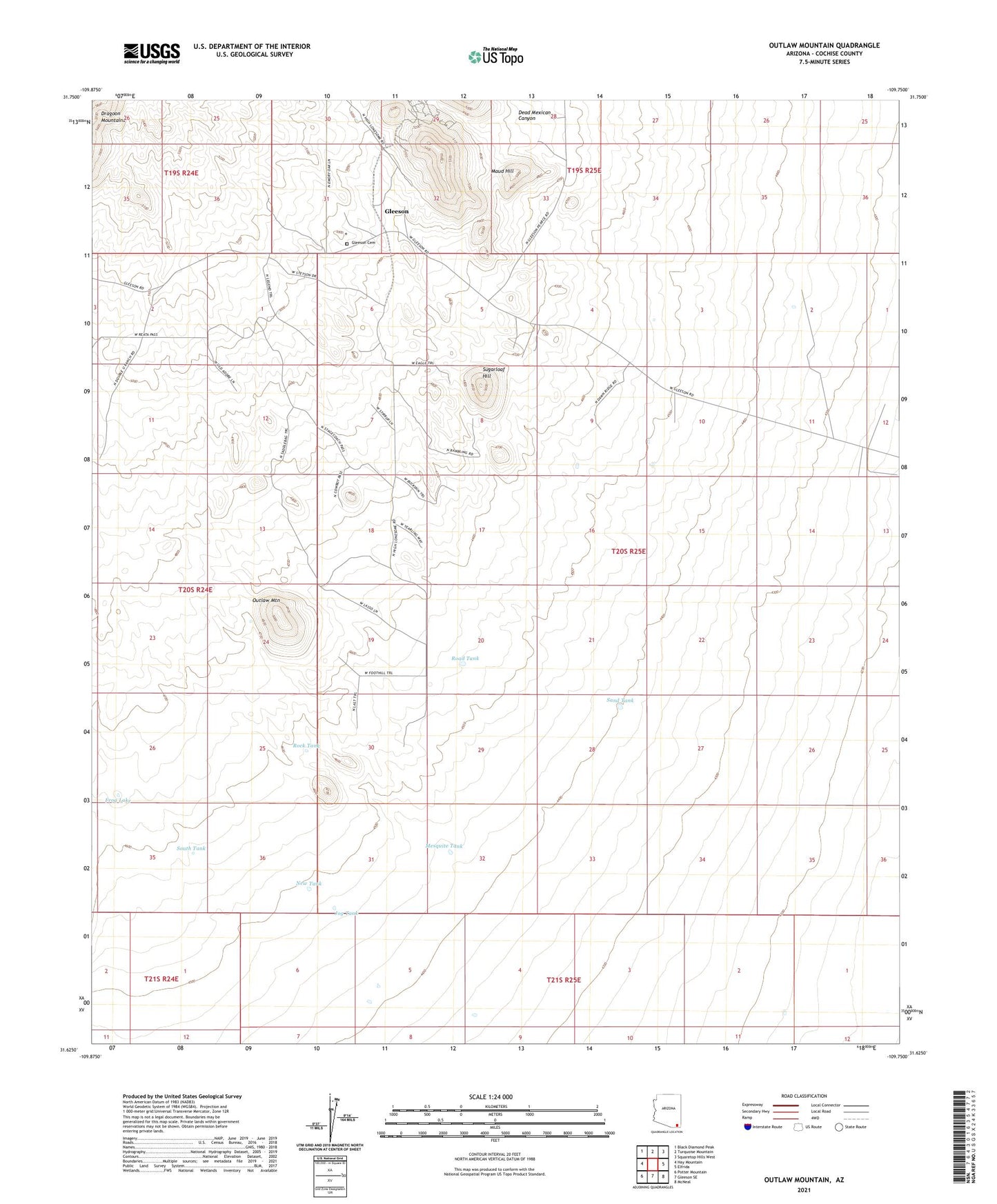
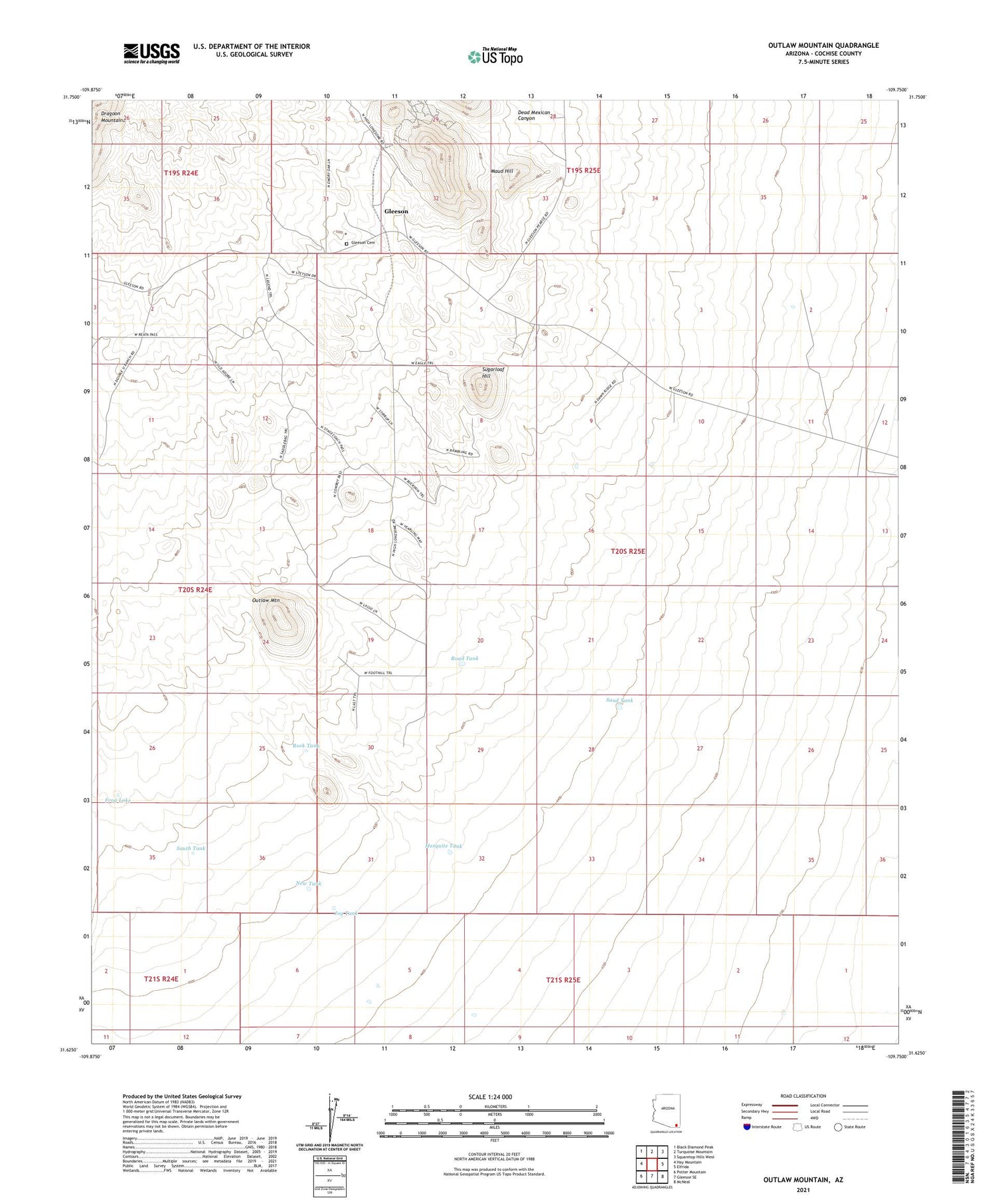
2021 topographic map quadrangle Outlaw Mountain in the state of Arizona. Scale: 1:24000. Based on the newly updated USGS 7.5' US Topo map series, this map is in the following counties: Cochise. The map contains contour data, water features, and other items you are used to seeing on USGS maps, but also has updated roads and other features. This is the next generation of topographic maps. Printed on high-quality waterproof paper with UV fade-resistant inks.
Quads adjacent to this one:
West: Hay Mountain
Northwest: Black Diamond Peak
North: Turquoise Mountain
Northeast: Squaretop Hills West
East: Elfrida
Southeast: McNeal
South: Gleeson SE
Southwest: Potter Mountain
This map covers the same area as the classic USGS quad with code o31109f7.
Contains the following named places: Coyote Windmill, Dead Mexican Canyon, Frog Lake, Fullbright Windmill, Garland Windmill, Gleeson, Gleeson Cemetery, Gleeson Substation, Harmon Ranch, Hood Windmill, Jog Tank, Little Windmill, Maud Hill, Mesquite Tank, New Tank, New Windmill, Outlaw Mountain, Outlaw Windmill, River Windmill, Road Tank, Rock Tank, Sand Tank, South Tank, South Windmill, Sugarloaf Hill