MyTopo
Hoodoo Well Arizona US Topo Map
Couldn't load pickup availability
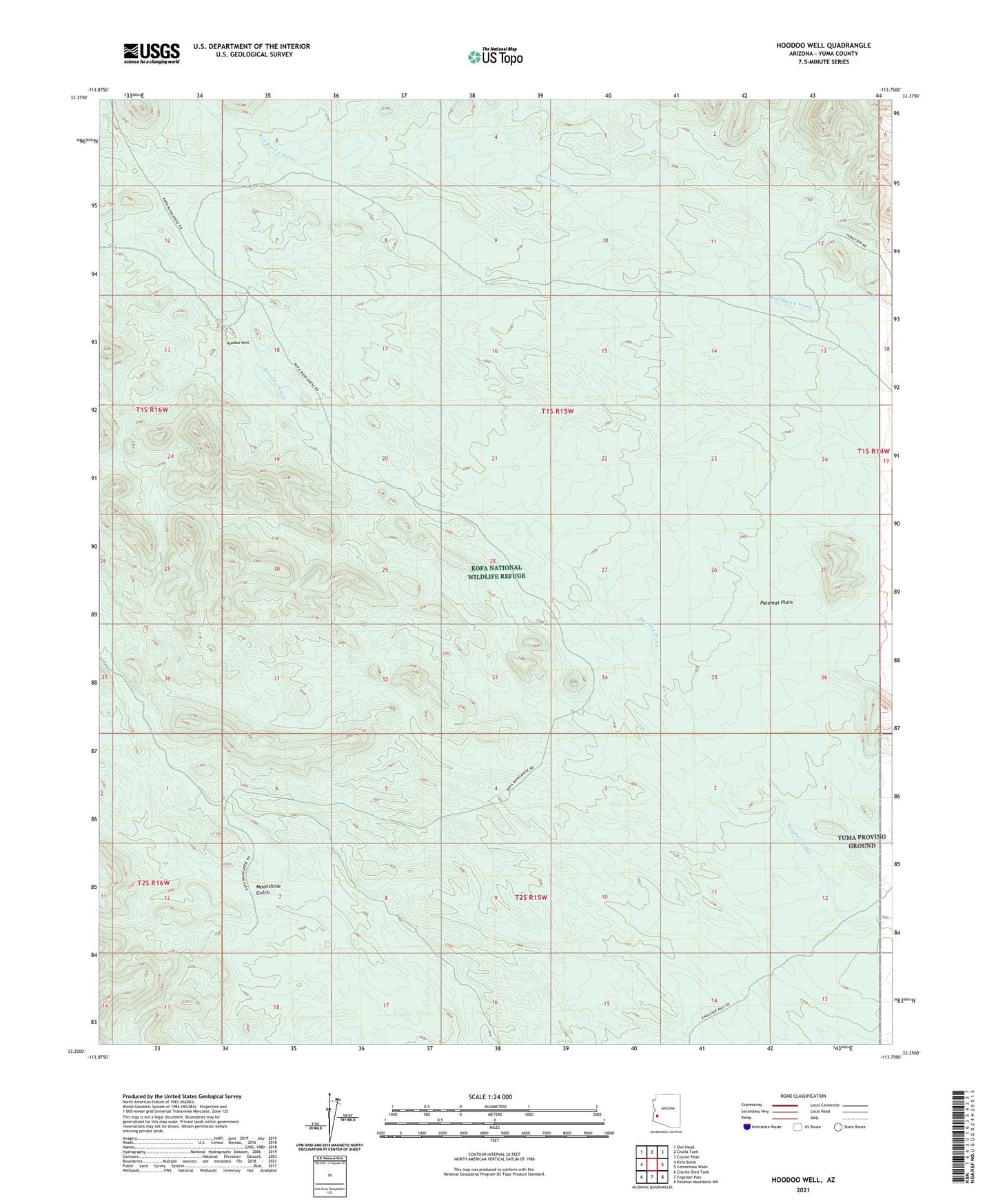
2021 topographic map quadrangle Hoodoo Well in the state of Arizona. Scale: 1:24000. Based on the newly updated USGS 7.5' US Topo map series, this map is in the following counties: Yuma. The map contains contour data, water features, and other items you are used to seeing on USGS maps, but also has updated roads and other features. This is the next generation of topographic maps. Printed on high-quality waterproof paper with UV fade-resistant inks.
Quads adjacent to this one:
West: Kofa Butte
Northwest: Owl Head
North: Cholla Tank
Northeast: Coyote Peak
East: Cementosa Wash
Southeast: Palomas Mountains NW
South: Engesser Pass
Southwest: Charlie Died Tank
This map covers the same area as the classic USGS quad with code o33113c7.
Contains the following named places: Crowder Dam, Hoodoo Well, Kofa Manganese Mine, Moonshine Gulch, North Hoodoo Well, Resolution Mine, Sheep Tank Mine, Sheep Tank Well