
MyTopo
Ko Vaya Arizona US Topo Map
Couldn't load pickup availability
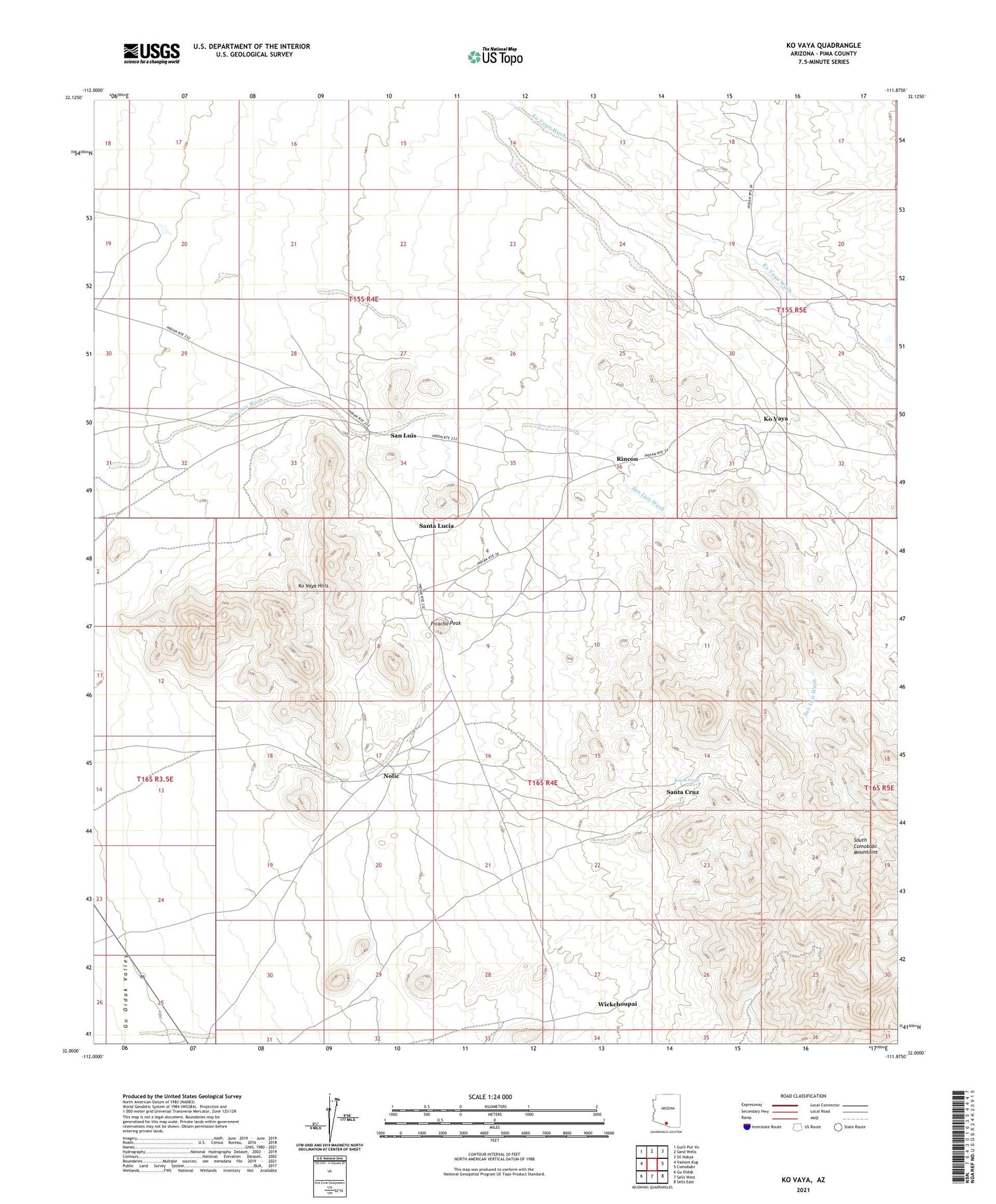
2021 topographic map quadrangle Ko Vaya in the state of Arizona. Scale: 1:24000. Based on the newly updated USGS 7.5' US Topo map series, this map is in the following counties: Pima. The map contains contour data, water features, and other items you are used to seeing on USGS maps, but also has updated roads and other features. This is the next generation of topographic maps. Printed on high-quality waterproof paper with UV fade-resistant inks.
Quads adjacent to this one:
West: Vainom Kug
Northwest: Gurli Put Vo
North: Sand Wells
Northeast: Sil Nakya
East: Comobabi
Southeast: Sells East
South: Sells West
Southwest: Gu Oidak
This map covers the same area as the classic USGS quad with code o32111a8.
Contains the following named places: Cooncan Mine, Ko Vaya, Ko Vaya Census Designated Place, Ko Vaya Hills, Koson Vaya, Mildred Mine, Mildren Mine, Nolic, Nolic Census Designated Place, Old Nolic Well, Picacho, Picacho Mine, Picacho Peak, Rincon, San Luis, Santa Cruz, Santa Lucia, Steppe Mine, Wickchoupai, ZIP Code: 85634


