MyTopo
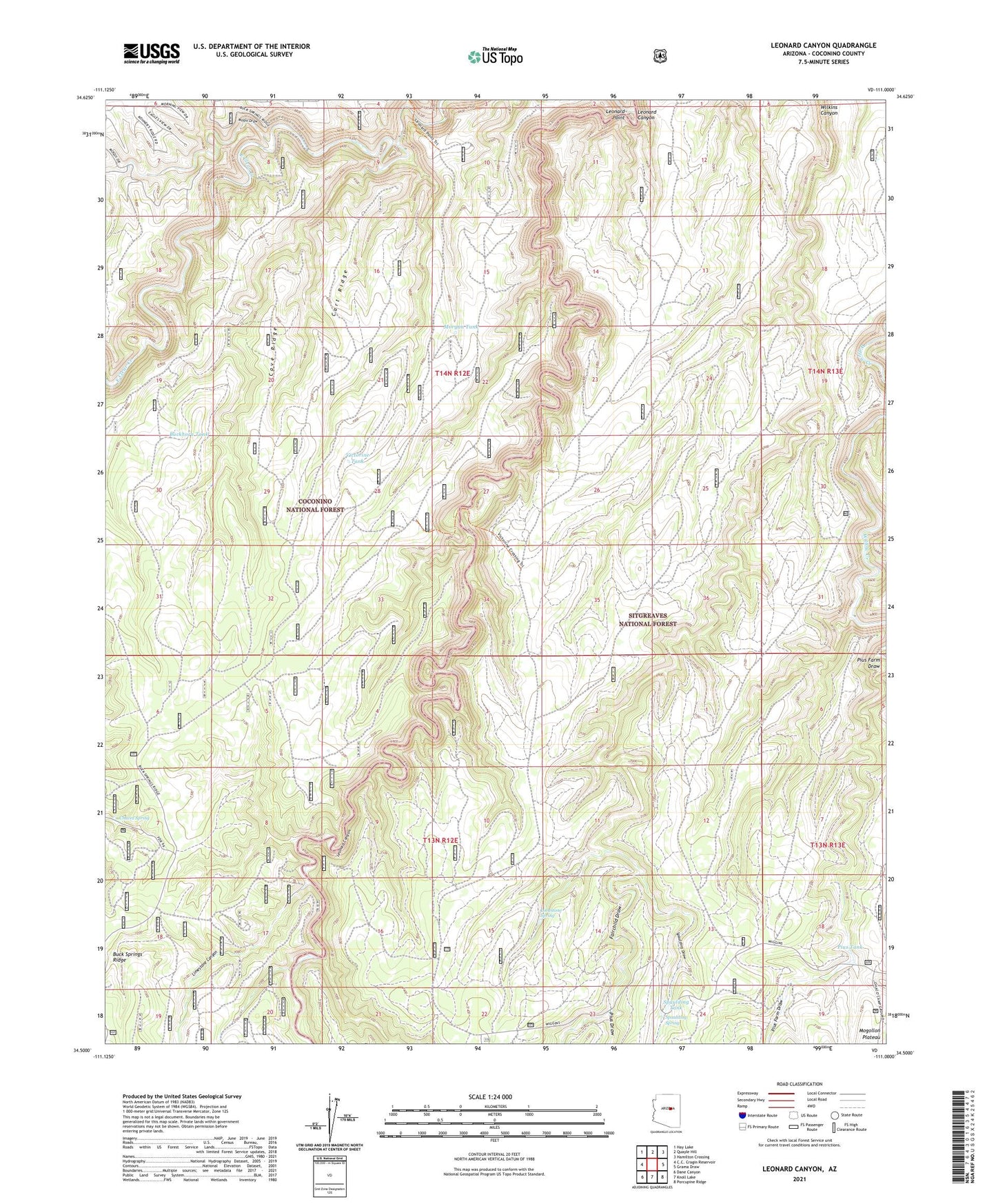
Leonard Canyon Arizona US Topo Map
Couldn't load pickup availability
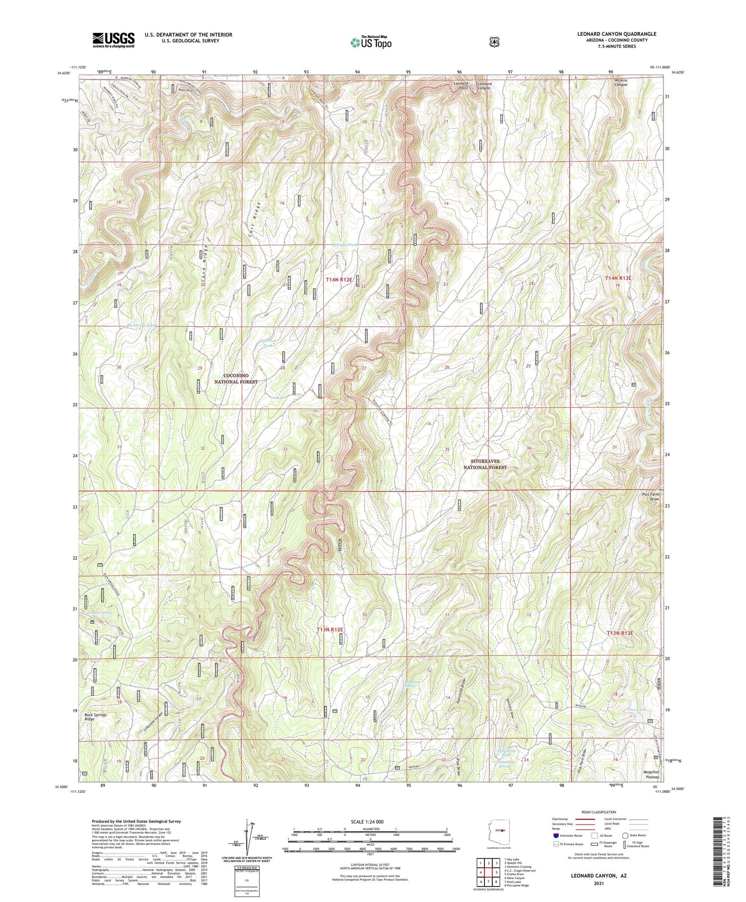
Also explore the Leonard Canyon Forest Service Topo of this same quad for updated USFS data
2021 topographic map quadrangle Leonard Canyon in the state of Arizona. Scale: 1:24000. Based on the newly updated USGS 7.5' US Topo map series, this map is in the following counties: Coconino. The map contains contour data, water features, and other items you are used to seeing on USGS maps, but also has updated roads and other features. This is the next generation of topographic maps. Printed on high-quality waterproof paper with UV fade-resistant inks.
Quads adjacent to this one:
Northwest: Hay Lake
North: Quayle Hill
Northeast: Hamilton Crossing
East: Grama Draw
Southeast: Porcupine Ridge
South: Knoll Lake
Southwest: Dane Canyon
This map covers the same area as the classic USGS quad with code o34111e1.
Contains the following named places: Buckhorn Tank, Cart Ridge, Cave Ridge, Chavez Spring, East Clear Creek, Elkhorn Tank, Fairchild Draw, Fork Tank, Hugh Barr Ranch, Kevin Tank, Leonard Canyon, Leonard Point, Limestone Canyon, Limestone Spring, Lost Tank, Macks Crossing, Middle Tank, Moqui Draw, Morgan Tank, Pius Draw, Pius Farm Draw, Pius Tank, Saltground Tank, Second Chance Tank, Soldier Trail, Spaulding Draw, Spaulding Spring, Spaulding Tank, Victorine Crossing, Victorine Tank, Weimer Tank, Wiggins Ranch, Wilkins Trick Tank