MyTopo
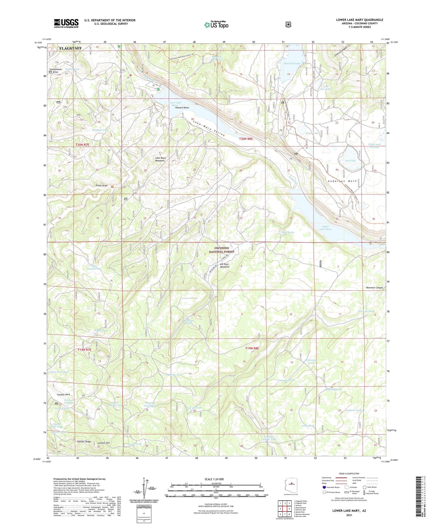
Lower Lake Mary Arizona US Topo Map
Couldn't load pickup availability
Also explore the Lower Lake Mary Forest Service Topo of this same quad for updated USFS data
2021 topographic map quadrangle Lower Lake Mary in the state of Arizona. Scale: 1:24000. Based on the newly updated USGS 7.5' US Topo map series, this map is in the following counties: Coconino. The map contains contour data, water features, and other items you are used to seeing on USGS maps, but also has updated roads and other features. This is the next generation of topographic maps. Printed on high-quality waterproof paper with UV fade-resistant inks.
Quads adjacent to this one:
West: Mountainaire
Northwest: Flagstaff West
North: Flagstaff East
Northeast: Winona
East: Ashurst Lake
Southeast: Mormon Lake
South: Mormon Mountain
Southwest: Munds Park
This map covers the same area as the classic USGS quad with code o35111a5.
Contains the following named places: Anderson Mesa, Babbit Spring, Bonita Tank, Canada Granda Tank, Canyon Vista Campground, Charco Tank, Clark Well, Corner Tank, Coulter Cabin, Coulter Hill, Coulter Park, Coulter Ridge, Double Tank, Elk Park Meadows, Fisher and Fry Lake, Forest Service Tank, Hey Dog Tank, Highlands Fire District Station 24 Lake Mary, Hold Up Tank, Howard Draw, Howard Tank, Hoxworth Springs, Hoxworth Tank, JAO Well, Joeys Tank, Johnneys Tank, KZJC-TV (Flagstaff), Lagunita Tank, Lake Mary Boating Site, Lake Mary Meadows, Lake Mary Valley, Lake Number One, Lake View Forest Camp, Little Dry Lake, Little Dry Lake Tank, Lost Tank, Lower Lake Mary, Lower Lake Mary Dam, Lower Lake Mary Picnic Area, Lower Tank, Marshall Lake, Marshall Mesa Tank, Mount Lion Tank, Mustang Park Tank, Nameless Tank, Narrows Boat Launch, Natural Tank, Newman Tank, Perkins Telescope, Peterson Seepage, Pit Number Two Tank, Pit One Tank, Priest Draw, Prime Lake, Roadbed Tank, Rocky Tank, Sinkhole Tank, Statler Tank, Stump Tank, Thomas Spring, United States Geological Survey Observatory, Upper Lake Mary Boat Launch Number 2, Upper Lake Mary Dam, Vail Lake, Vail Lake Tank, Westec Tank, Wild Horse Tank


