MyTopo
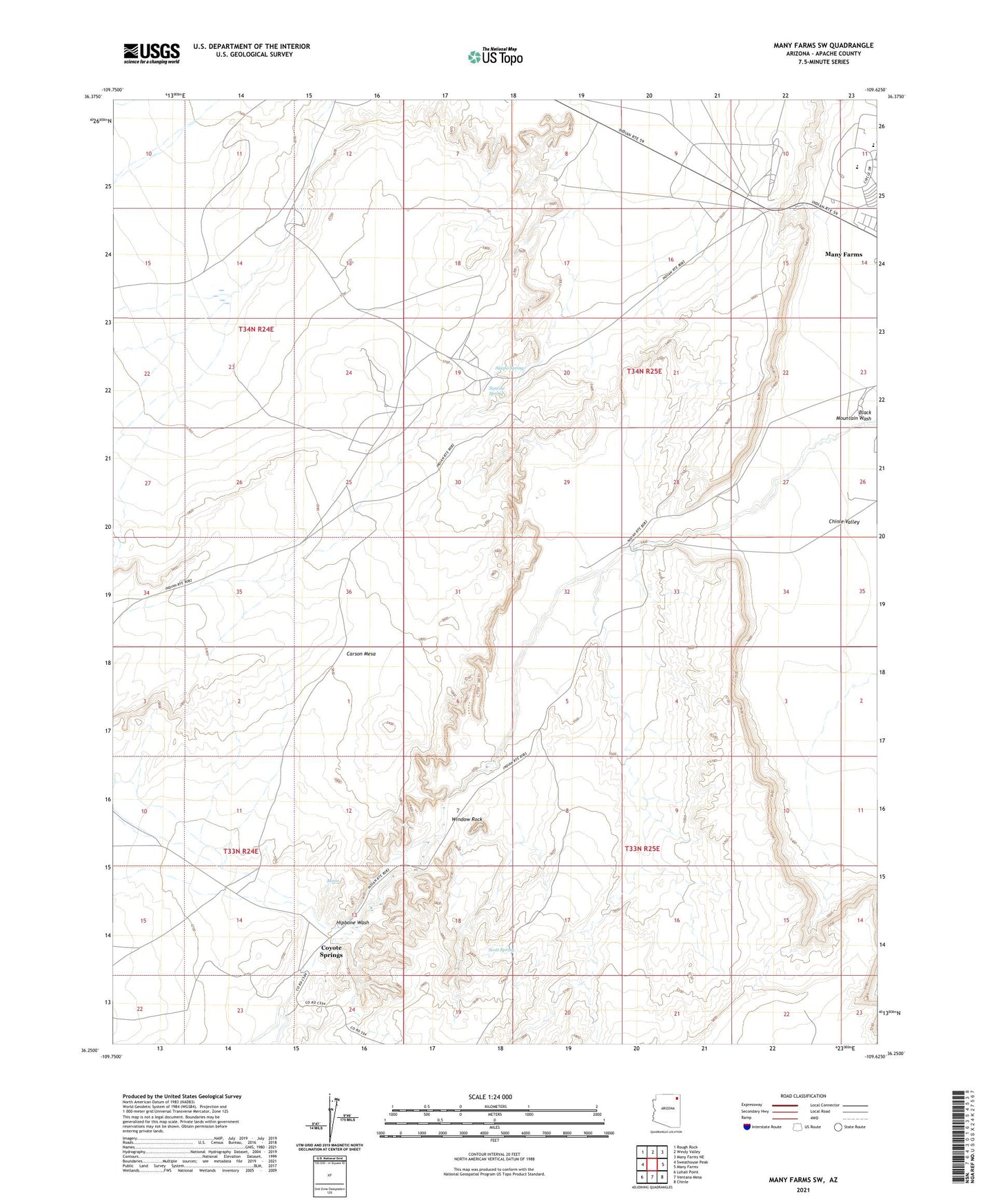
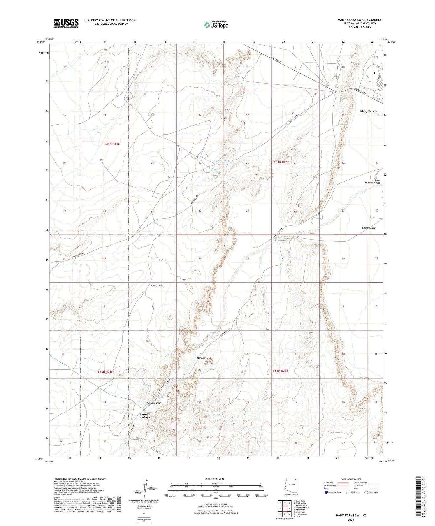
Many Farms SW Arizona US Topo Map
Couldn't load pickup availability
2021 topographic map quadrangle Many Farms SW in the state of Arizona. Scale: 1:24000. Based on the newly updated USGS 7.5' US Topo map series, this map is in the following counties: Apache. The map contains contour data, water features, and other items you are used to seeing on USGS maps, but also has updated roads and other features. This is the next generation of topographic maps. Printed on high-quality waterproof paper with UV fade-resistant inks.
Quads adjacent to this one:
West: Sweathouse Peak
Northwest: Rough Rock
North: Windy Valley
Northeast: Many Farms NE
East: Many Farms
Southeast: Chinle
South: Ventana Mesa
Southwest: Lohali Point
This map covers the same area as the classic USGS quad with code o36109c6.
Contains the following named places: Alamo Spring, Chinle Boarding School, Coyote Springs, Hipbone Wash, Maito, Many Farms Census Designated Place, Many Farms Elementary School, Many Farms High School, Navajo Community College, Scott Spring, Sunrise Spring, Window Rock