MyTopo
Navajo North Arizona US Topo Map
Couldn't load pickup availability
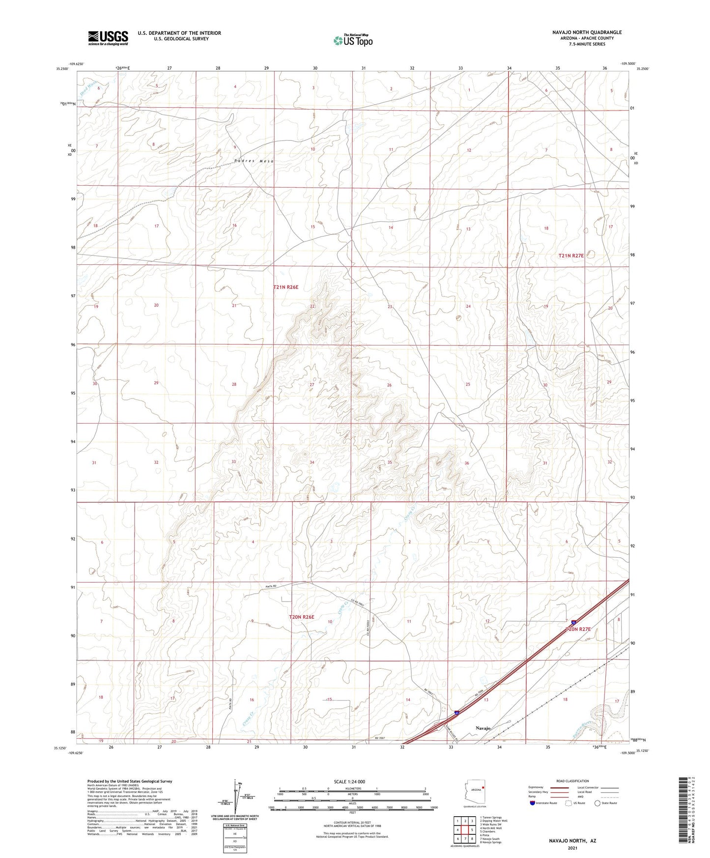
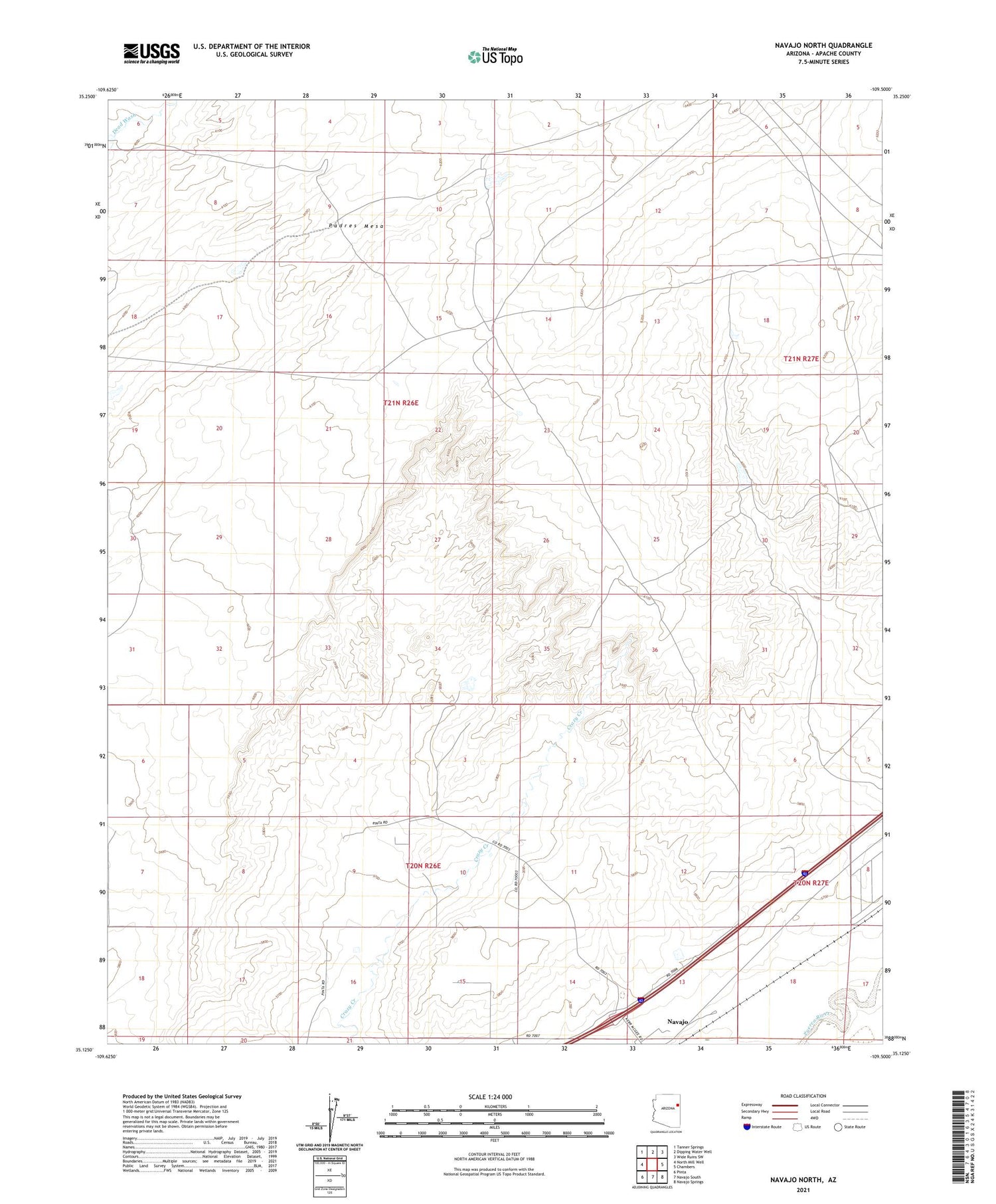
2021 topographic map quadrangle Navajo North in the state of Arizona. Scale: 1:24000. Based on the newly updated USGS 7.5' US Topo map series, this map is in the following counties: Apache. The map contains contour data, water features, and other items you are used to seeing on USGS maps, but also has updated roads and other features. This is the next generation of topographic maps. Printed on high-quality waterproof paper with UV fade-resistant inks.
Quads adjacent to this one:
West: North Mill Well
Northwest: Tanner Springs
North: Dipping Water Well
Northeast: Wide Ruins SW
East: Chambers
Southeast: Navajo Springs
South: Navajo South
Southwest: Pinta
This map covers the same area as the classic USGS quad with code o35109b5.
Contains the following named places: