MyTopo
O'Neill Pass Arizona US Topo Map
Couldn't load pickup availability
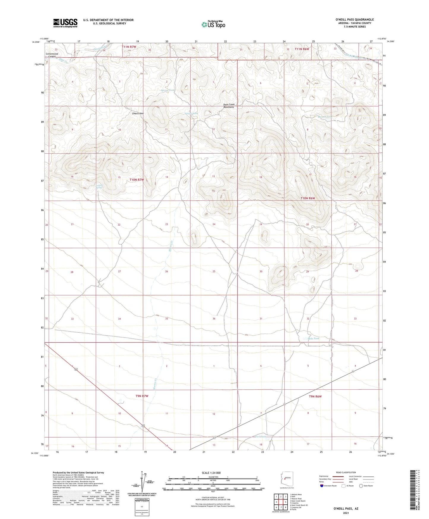
2021 topographic map quadrangle O'Neill Pass in the state of Arizona. Scale: 1:24000. Based on the newly updated USGS 7.5' US Topo map series, this map is in the following counties: Yavapai. The map contains contour data, water features, and other items you are used to seeing on USGS maps, but also has updated roads and other features. This is the next generation of topographic maps. Printed on high-quality waterproof paper with UV fade-resistant inks.
Quads adjacent to this one:
West: Date Creek Ranch
Northwest: Malpais Mesa
North: Date
Northeast: Weaver Peak
East: Congress
Southeast: Flores
South: Congress SW
Southwest: Date Creek Ranch SE
This map covers the same area as the classic USGS quad with code o34112b8.
Contains the following named places: Barnett Tank, Bucks Well, Cecil Well, Cottonwood Canyon, Coyote Well, Date Creek Mountains, Fuel Tank, Henderson Tank, Hog Ranch Well, Kay Tank, Longort Spring, Martin Creek, Nelson Tank, Newhall Well, O'Neill Pass, Phils Tank, Spring Tank, ZIP Code: 85332