MyTopo
Palo Verde Camp Arizona US Topo Map
Couldn't load pickup availability
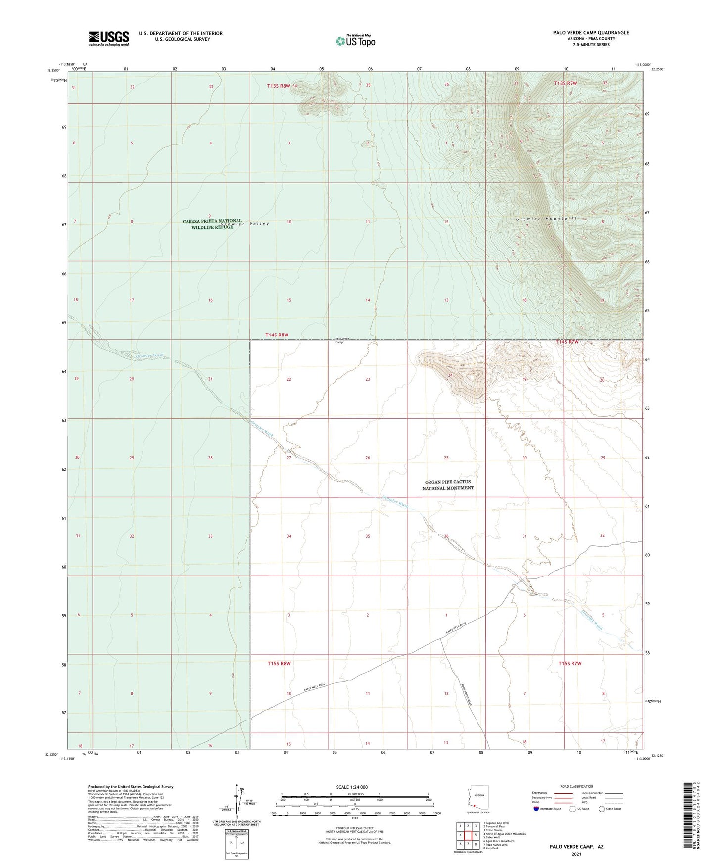
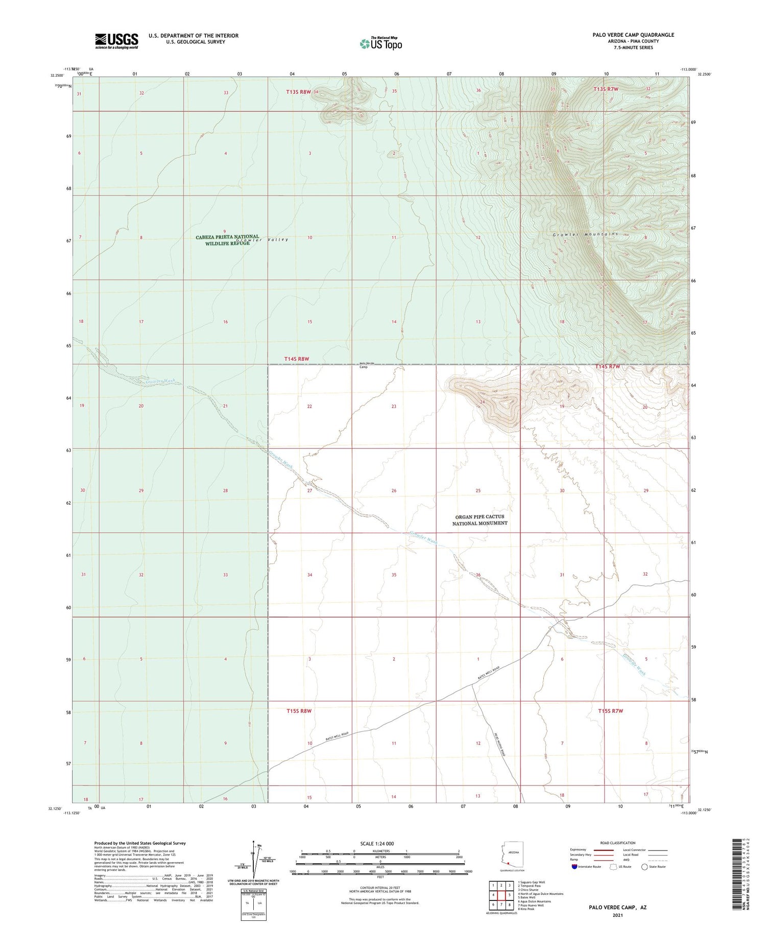
2021 topographic map quadrangle Palo Verde Camp in the state of Arizona. Scale: 1:24000. Based on the newly updated USGS 7.5' US Topo map series, this map is in the following counties: Pima. The map contains contour data, water features, and other items you are used to seeing on USGS maps, but also has updated roads and other features. This is the next generation of topographic maps. Printed on high-quality waterproof paper with UV fade-resistant inks.
Quads adjacent to this one:
West: North of Agua Dulce Mountains
Northwest: Saguaro Gap Well
North: Temporal Pass
Northeast: Chico Shunie
East: Bates Well
Southeast: Kino Peak
South: Pozo Nuevo Well
Southwest: Agua Dulce Mountains
This map covers the same area as the classic USGS quad with code o32113b1.
Contains the following named places: Palo Verde Camp