MyTopo
Reid Valley Arizona US Topo Map
Couldn't load pickup availability
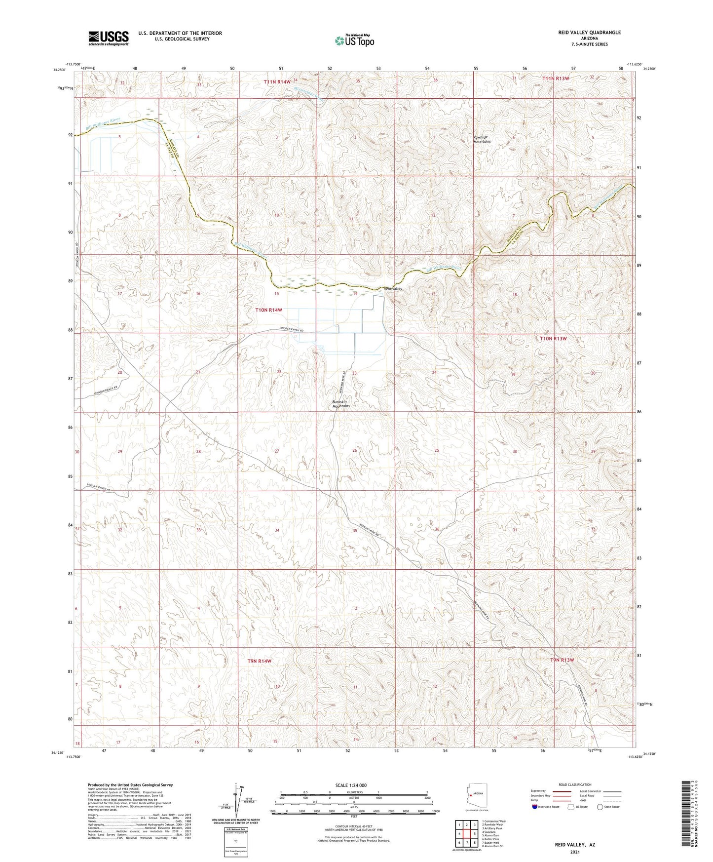
2021 topographic map quadrangle Reid Valley in the state of Arizona. Scale: 1:24000. Based on the newly updated USGS 7.5' US Topo map series, this map is in the following counties: La Paz, Mohave. The map contains contour data, water features, and other items you are used to seeing on USGS maps, but also has updated roads and other features. This is the next generation of topographic maps. Printed on high-quality waterproof paper with UV fade-resistant inks.
Quads adjacent to this one:
West: Swansea
Northwest: Centennial Wash
North: Rawhide Wash
Northeast: Artillery Peak
East: Alamo Dam
Southeast: Alamo Dam SE
South: Butler Well
Southwest: Butler Pass
This map covers the same area as the classic USGS quad with code o34113b6.
Contains the following named places: Arizona Montana Mine, Bernarde Mine, Bluebell Mine, Lincoln Ranch, Mississippi Wash, Rankin Ranch, Reid Valley, Santa Maria Mine