
MyTopo
Saint George Canyon Arizona US Topo Map
Couldn't load pickup availability
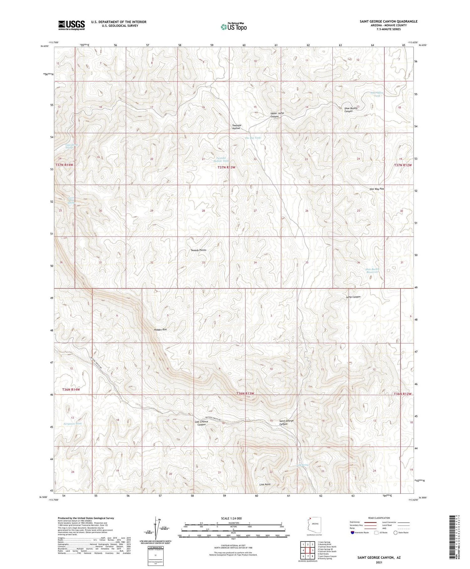
2021 topographic map quadrangle Saint George Canyon in the state of Arizona. Scale: 1:24000. Based on the newly updated USGS 7.5' US Topo map series, this map is in the following counties: Mohave. The map contains contour data, water features, and other items you are used to seeing on USGS maps, but also has updated roads and other features. This is the next generation of topographic maps. Printed on high-quality waterproof paper with UV fade-resistant inks.
Quads adjacent to this one:
West: Cane Springs SE
Northwest: Cane Springs
North: Mustang Knoll
Northeast: Sullivan Draw North
East: Sullivan Draw South
Southeast: Poverty Spring
South: Last Chance Canyon
Southwest: Olaf Knolls
This map covers the same area as the classic USGS quad with code o36113e6.
Contains the following named places: Ferguson Tank, Hidden Mines, Last Chance Canyon, Link Spring, Lower Jump Springs, One Way Pass, Post Office Tank, Saint George Canyon, Shoe Buckle Canyon, Shoe Buckle Reservoir, The Bin Tank, Tweedie Hollow, Tweedie Hollow Tank, Tweeds Points, Upper Jump Canyon, Upper Jump Springs


