MyTopo
Salt Trail Canyon Arizona US Topo Map
Couldn't load pickup availability
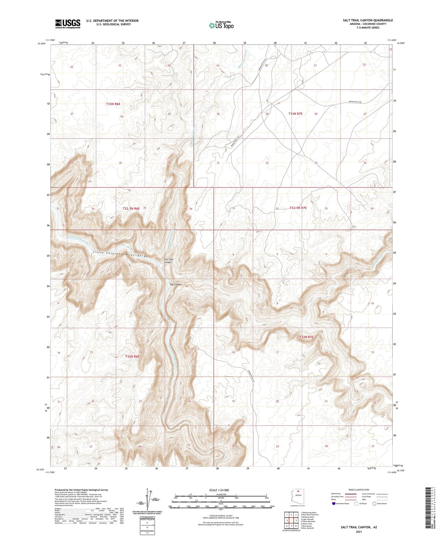
2021 topographic map quadrangle Salt Trail Canyon in the state of Arizona. Scale: 1:24000. Based on the newly updated USGS 7.5' US Topo map series, this map is in the following counties: Coconino. The map contains contour data, water features, and other items you are used to seeing on USGS maps, but also has updated roads and other features. This is the next generation of topographic maps. Printed on high-quality waterproof paper with UV fade-resistant inks.
Quads adjacent to this one:
West: Cape Solitude
Northwest: Nankoweap Mesa
North: Blue Moon Reservoir
Northeast: Bodaway Mesa
East: Pillow Mountain
Southeast: Blue Spring SE
South: Blue Spring
Southwest: Desert View
This map covers the same area as the classic USGS quad with code o36111b6.
Contains the following named places: Bekihatso Wash, Big Canyon, Salt Trail Canyon, Sheep Wash