MyTopo
San Bernardino Ranch Arizona US Topo Map
Couldn't load pickup availability
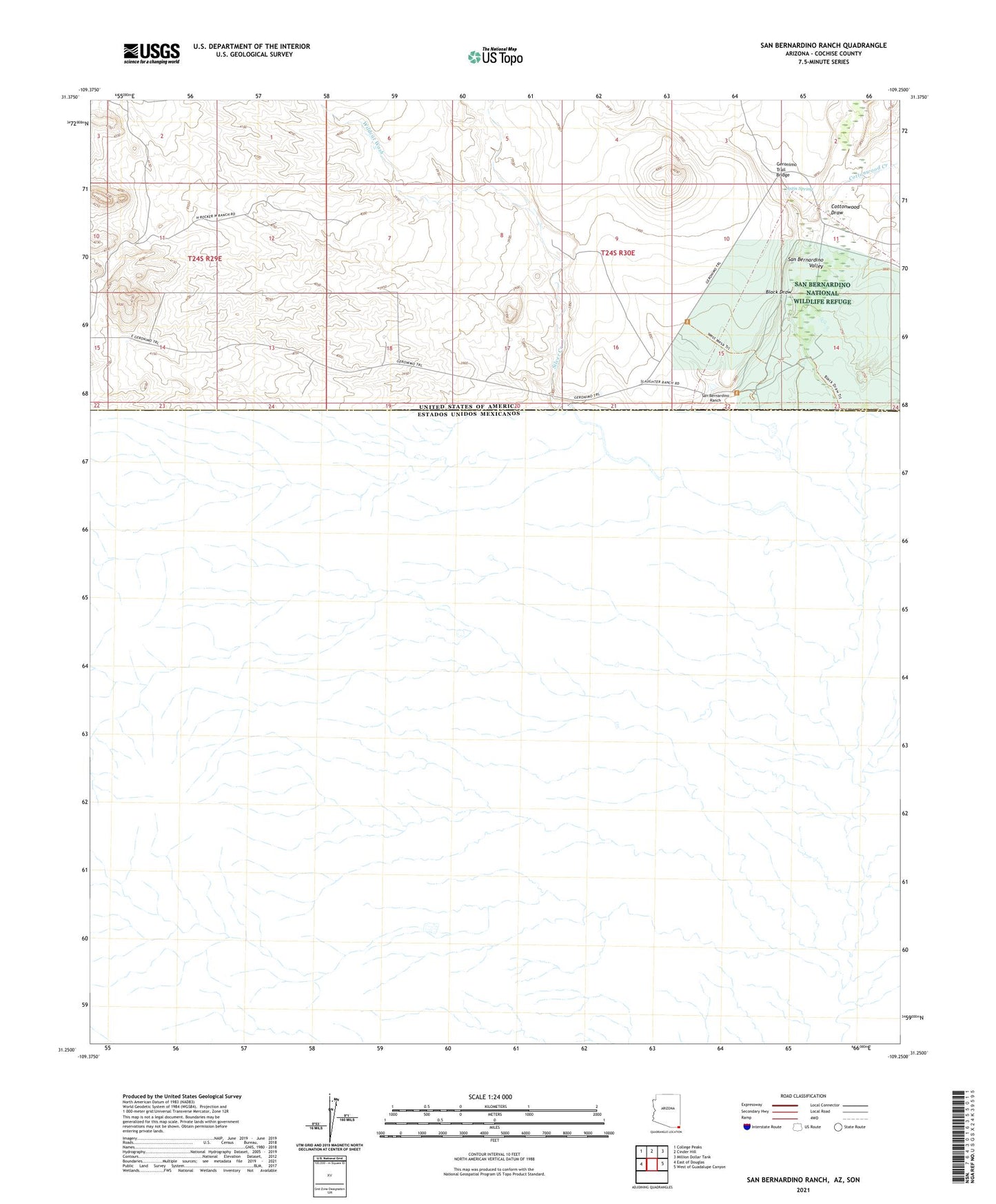
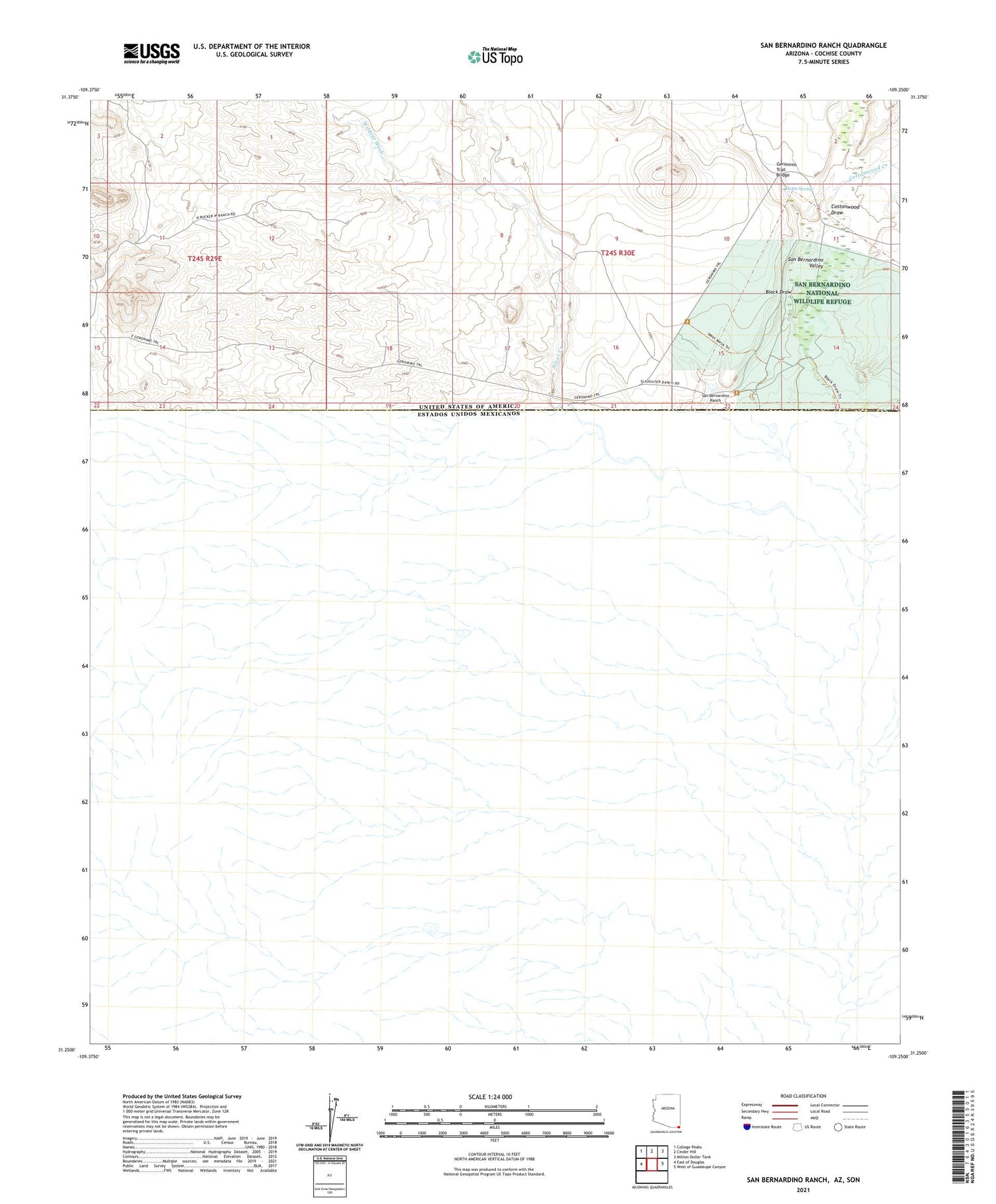
2021 topographic map quadrangle San Bernardino Ranch in the state of Arizona. Scale: 1:24000. Based on the newly updated USGS 7.5' US Topo map series, this map is in the following counties: Cochise. The map contains contour data, water features, and other items you are used to seeing on USGS maps, but also has updated roads and other features. This is the next generation of topographic maps. Printed on high-quality waterproof paper with UV fade-resistant inks.
Quads adjacent to this one:
West: East of Douglas
Northwest: College Peaks
North: Cinder Hill
Northeast: Million Dollar Tank
East: West of Guadalupe Canyon
This map covers the same area as the classic USGS quad with code o31109c3.
Contains the following named places: Astin Spring, Astin Tank, Black Draw, Cottonwood Creek, Cottonwood Draw, Geronimo Trail Bridge, San Bernardino National Wildlife Refuge, San Bernardino Ranch, San Bernardino Valley, Silver Creek, Steel Woods Windmill, Wildcat Wash