MyTopo
Snap Canyon East Arizona US Topo Map
Couldn't load pickup availability
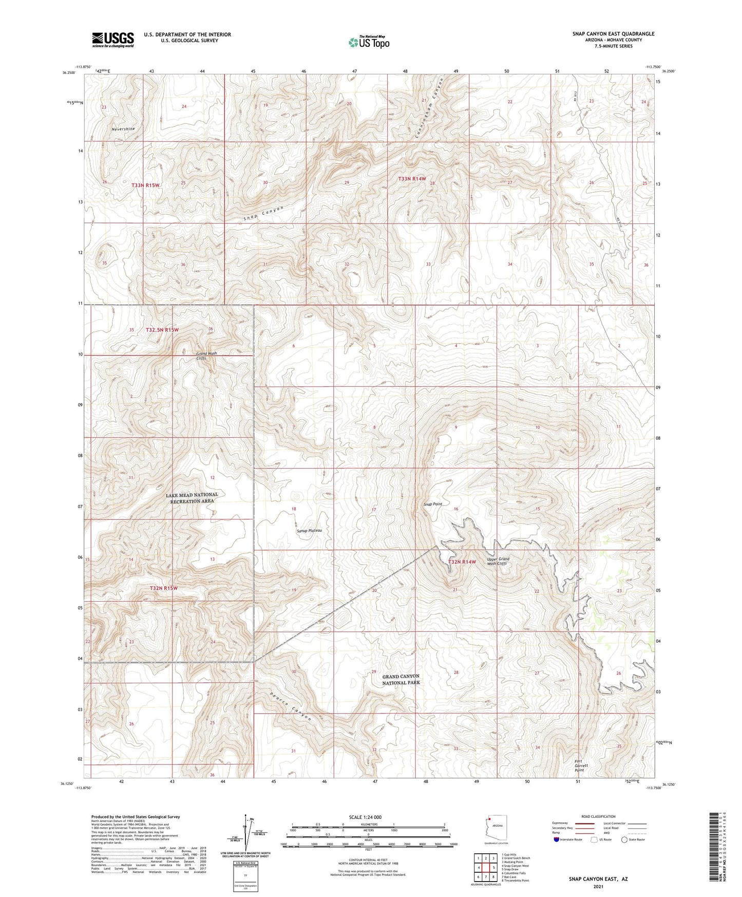
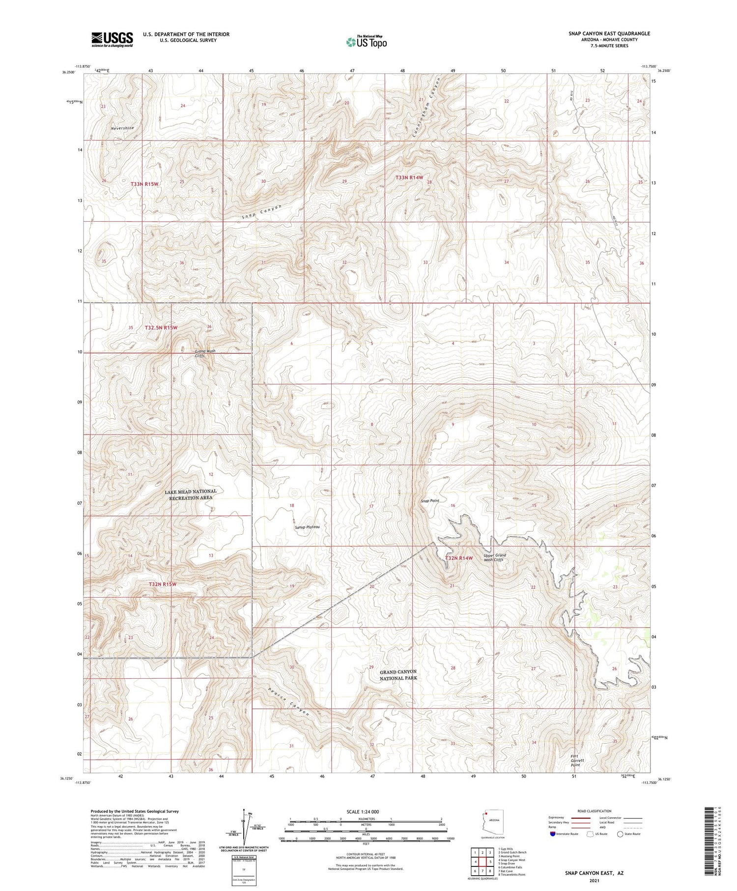
2021 topographic map quadrangle Snap Canyon East in the state of Arizona. Scale: 1:24000. Based on the newly updated USGS 7.5' US Topo map series, this map is in the following counties: Mohave. The map contains contour data, water features, and other items you are used to seeing on USGS maps, but also has updated roads and other features. This is the next generation of topographic maps. Printed on high-quality waterproof paper with UV fade-resistant inks.
Quads adjacent to this one:
West: Snap Canyon West
Northwest: Gyp Hills
North: Grand Gulch Bench
Northeast: Mustang Point
East: Snap Draw
Southeast: Tincanebitts Point
South: Bat Cave
Southwest: Columbine Falls
This map covers the same area as the classic USGS quad with code o36113b7.
Contains the following named places: Cunningham Canyon, Nevershine, Snap Point, Water Pockets Tank