MyTopo
Tincanebitts Point Arizona US Topo Map
Couldn't load pickup availability
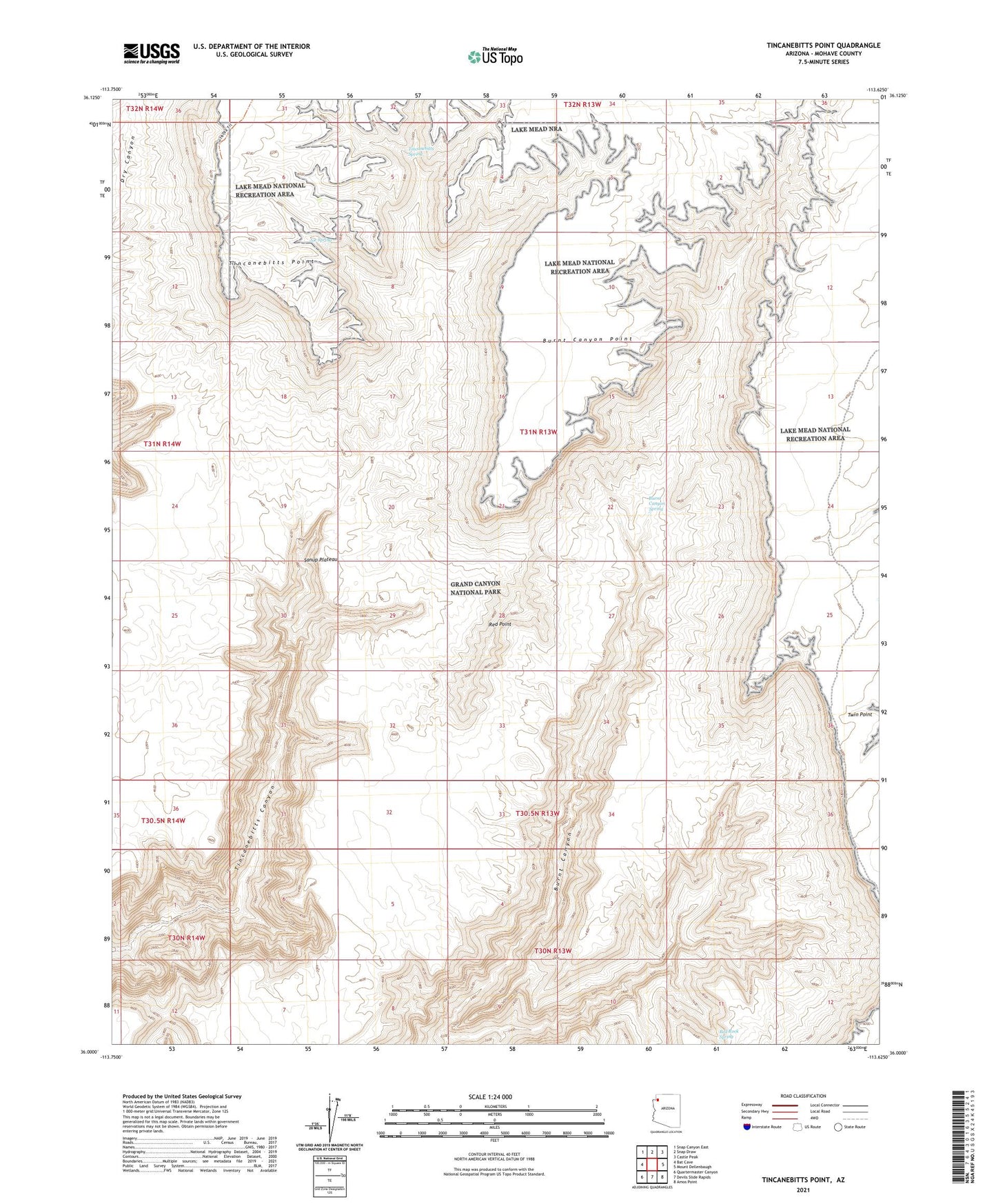
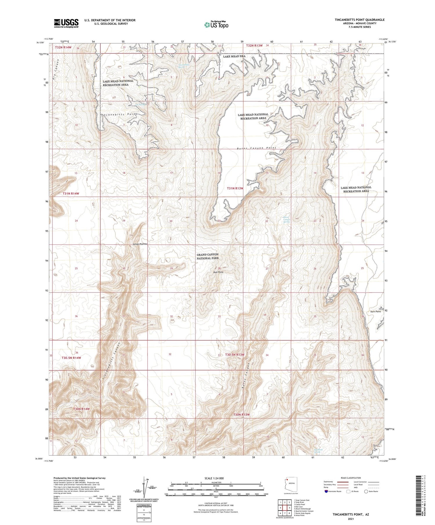
2021 topographic map quadrangle Tincanebitts Point in the state of Arizona. Scale: 1:24000. Based on the newly updated USGS 7.5' US Topo map series, this map is in the following counties: Mohave. The map contains contour data, water features, and other items you are used to seeing on USGS maps, but also has updated roads and other features. This is the next generation of topographic maps. Printed on high-quality waterproof paper with UV fade-resistant inks.
Quads adjacent to this one:
West: Bat Cave
Northwest: Snap Canyon East
North: Snap Draw
Northeast: Castle Peak
East: Mount Dellenbaugh
Southeast: Amos Point
South: Devils Slide Rapids
Southwest: Quartermaster Canyon
This map covers the same area as the classic USGS quad with code o36113a6.
Contains the following named places: Burnt Canyon Point, Burnt Canyon Spring, Joe Spring, Red Point, Red Rock Spring, Sanup Plateau, Tincanebitts Point, Tincanebitts Spring