MyTopo
The Landmark Arizona US Topo Map
Couldn't load pickup availability
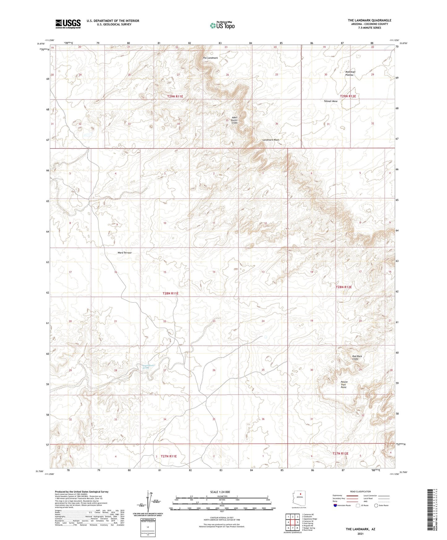
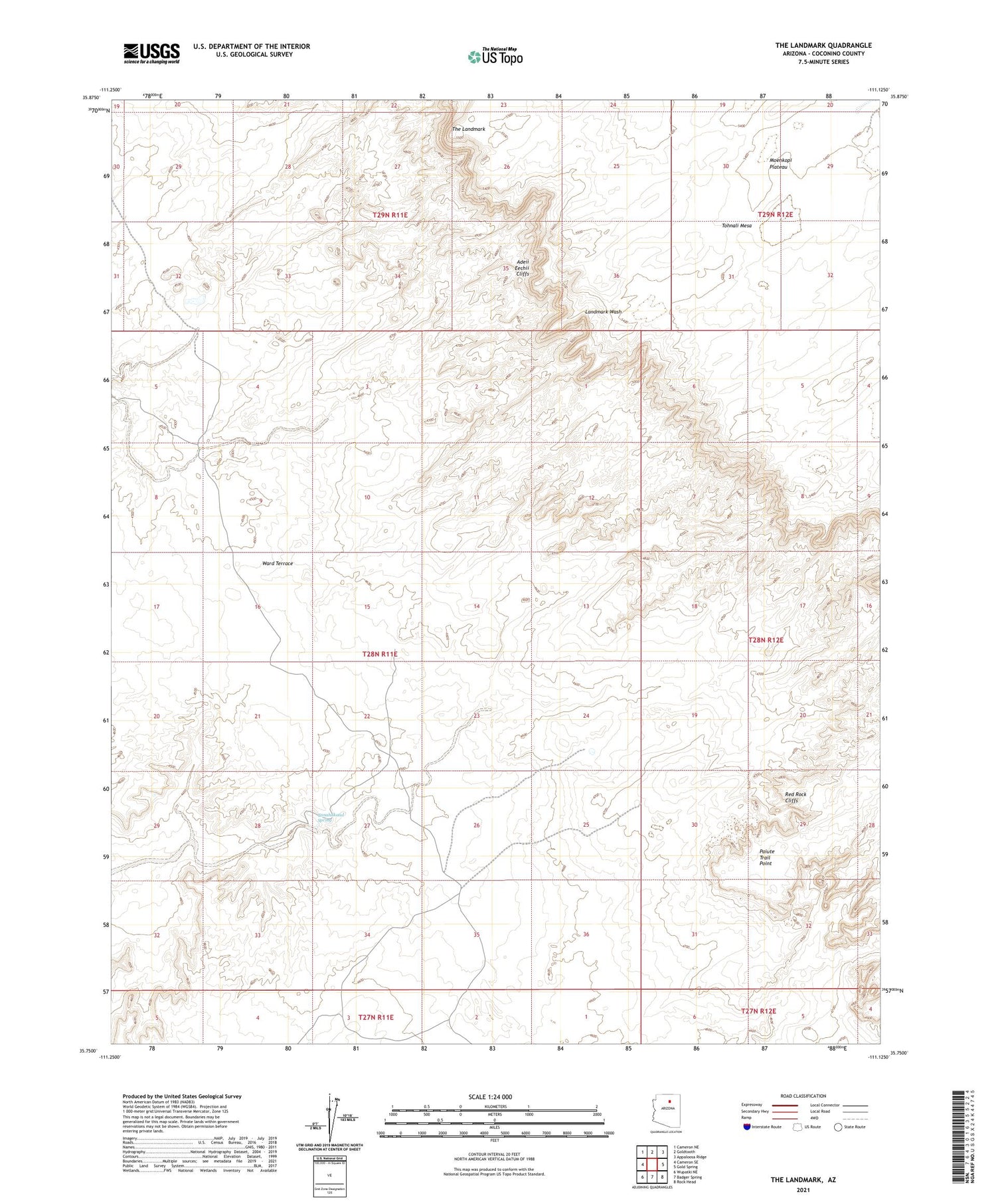
2021 topographic map quadrangle The Landmark in the state of Arizona. Scale: 1:24000. Based on the newly updated USGS 7.5' US Topo map series, this map is in the following counties: Coconino. The map contains contour data, water features, and other items you are used to seeing on USGS maps, but also has updated roads and other features. This is the next generation of topographic maps. Printed on high-quality waterproof paper with UV fade-resistant inks.
Quads adjacent to this one:
West: Cameron SE
Northwest: Cameron NE
North: Goldtooth
Northeast: Appaloosa Ridge
East: Gold Spring
Southeast: Rock Head
South: Badger Spring
Southwest: Wupatki NE
This map covers the same area as the classic USGS quad with code o35111g2.
Contains the following named places: Coalmine Mesa Chapter, Paiute Trail Point, The Landmark, Tonahakaad Spring, Ward Terrace