
MyTopo
Goldtooth Arizona US Topo Map
Couldn't load pickup availability
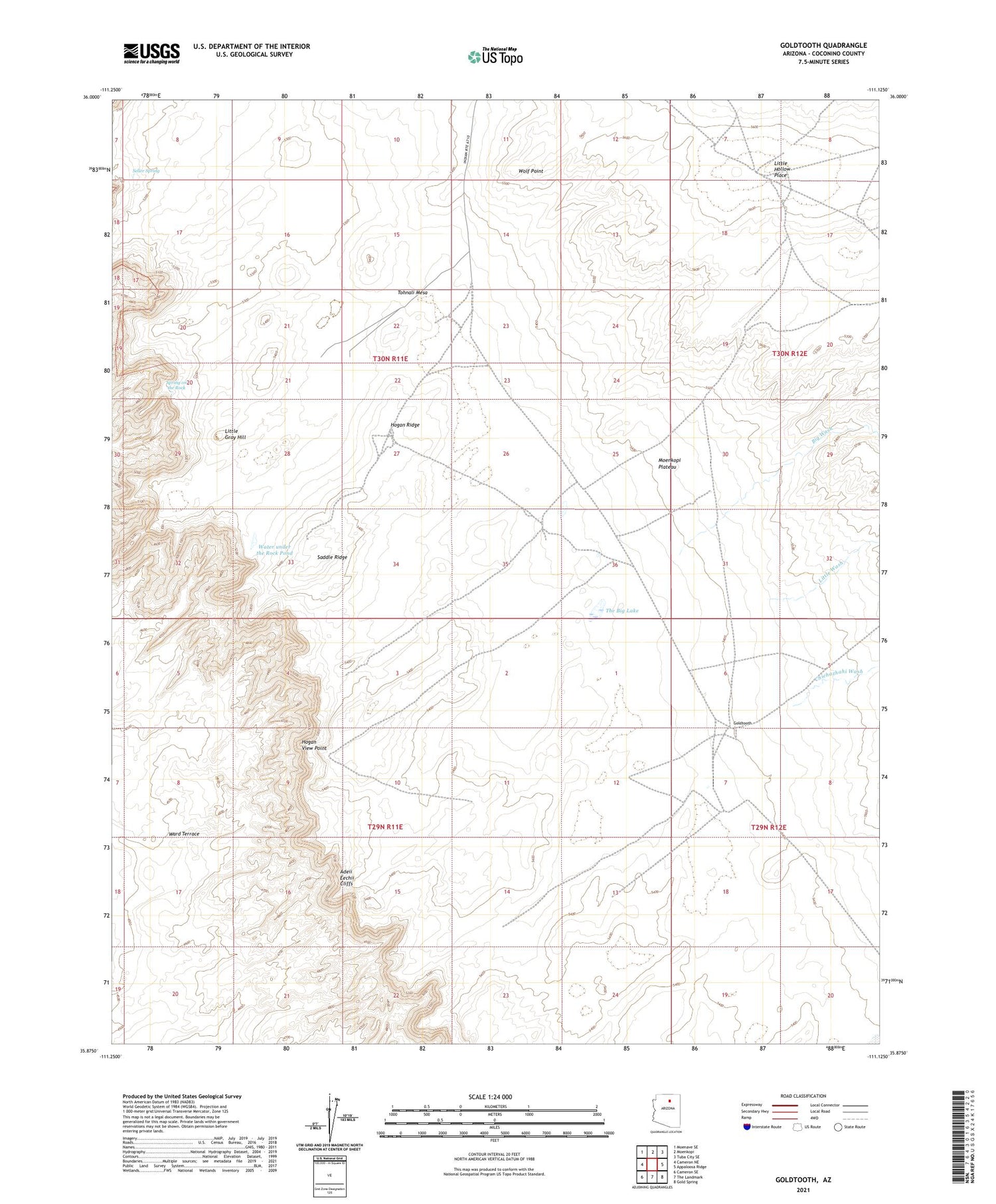
2021 topographic map quadrangle Goldtooth in the state of Arizona. Scale: 1:24000. Based on the newly updated USGS 7.5' US Topo map series, this map is in the following counties: Coconino. The map contains contour data, water features, and other items you are used to seeing on USGS maps, but also has updated roads and other features. This is the next generation of topographic maps. Printed on high-quality waterproof paper with UV fade-resistant inks.
Quads adjacent to this one:
West: Cameron NE
Northwest: Moenave SE
North: Moenkopi
Northeast: Tuba City SE
East: Appaloosa Ridge
Southeast: Gold Spring
South: The Landmark
Southwest: Cameron SE
This map covers the same area as the classic USGS quad with code o35111h2.
Contains the following named places: Big Wash, Chiehazhahi Wash, Goldtooth, Hogan Ridge, Hogan View Point, Little Gray Hill, Little Hollow Place, Little Wash, Saddle Ridge, Seller Spring, Spring on the Rock, The Big Lake, Tohnali Mesa, View Point Well, Water under the Rock Pond, Wolf Point


