MyTopo
Tom Thumb Arizona US Topo Map
Couldn't load pickup availability
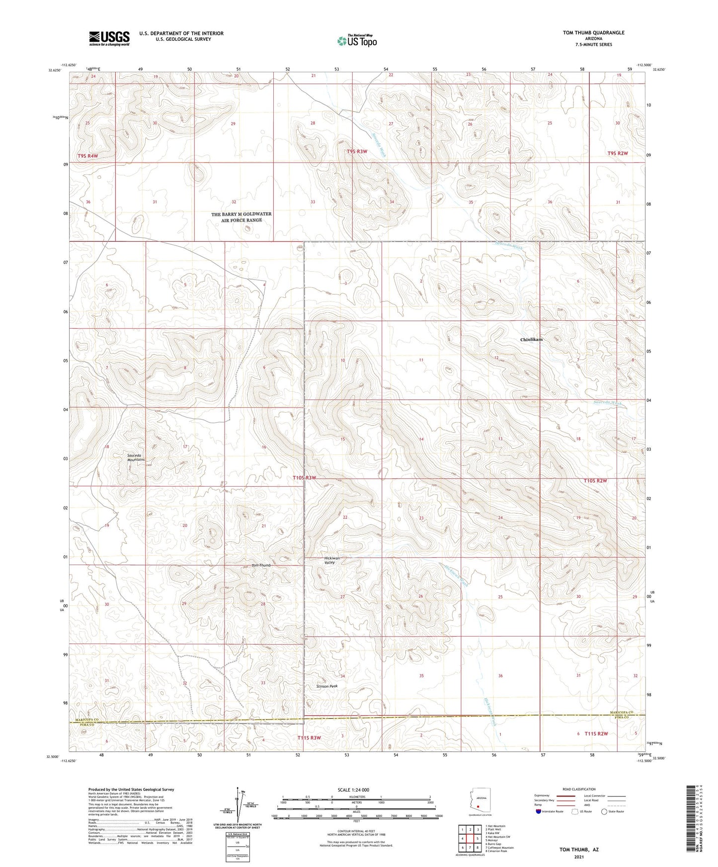
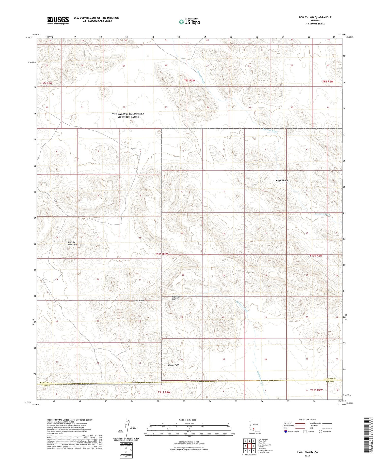
2021 topographic map quadrangle Tom Thumb in the state of Arizona. Scale: 1:24000. Based on the newly updated USGS 7.5' US Topo map series, this map is in the following counties: Maricopa, Pima. The map contains contour data, water features, and other items you are used to seeing on USGS maps, but also has updated roads and other features. This is the next generation of topographic maps. Printed on high-quality waterproof paper with UV fade-resistant inks.
Quads adjacent to this one:
West: Hat Mountain SW
Northwest: Hat Mountain
North: Platt Well
Northeast: Kaka NW
East: Moivayi
Southeast: Cimarron Peak
South: Coffeepot Mountain
Southwest: Burro Gap
This map covers the same area as the classic USGS quad with code o32112e5.
Contains the following named places: Chiulikam, Stinson Peak, Tom Thumb