MyTopo
Tsin Naan Tee Arizona US Topo Map
Couldn't load pickup availability
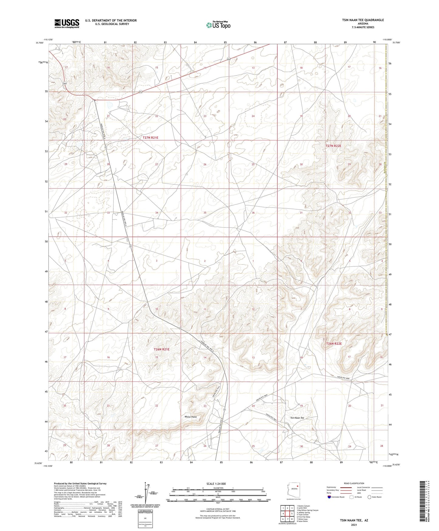
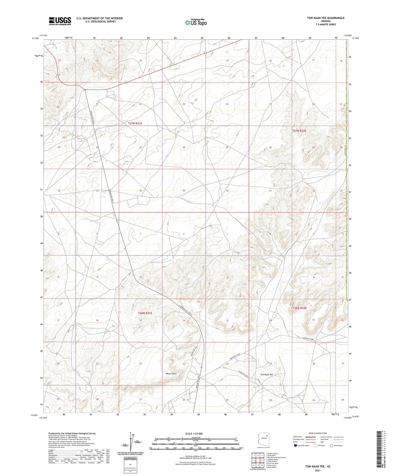
2021 topographic map quadrangle Tsin Naan Tee in the state of Arizona. Scale: 1:24000. Based on the newly updated USGS 7.5' US Topo map series, this map is in the following counties: Navajo, Apache. The map contains contour data, water features, and other items you are used to seeing on USGS maps, but also has updated roads and other features. This is the next generation of topographic maps. Printed on high-quality waterproof paper with UV fade-resistant inks.
Quads adjacent to this one:
West: Jeddito Spring
Northwest: Keams Canyon
North: Lamb Well
Northeast: Big Willow Spring Canyon
East: Toyei School
Southeast: Satan Butte
South: White Cone
Southwest: First Flat Mesa
This map covers the same area as the classic USGS quad with code o35110f1.
Contains the following named places: Beshbito Wash, Cow Spring, RU566, RU567, RU568, Tsin Naan Tee, White Point