MyTopo
Whirlwind Rock Arizona US Topo Map
Couldn't load pickup availability
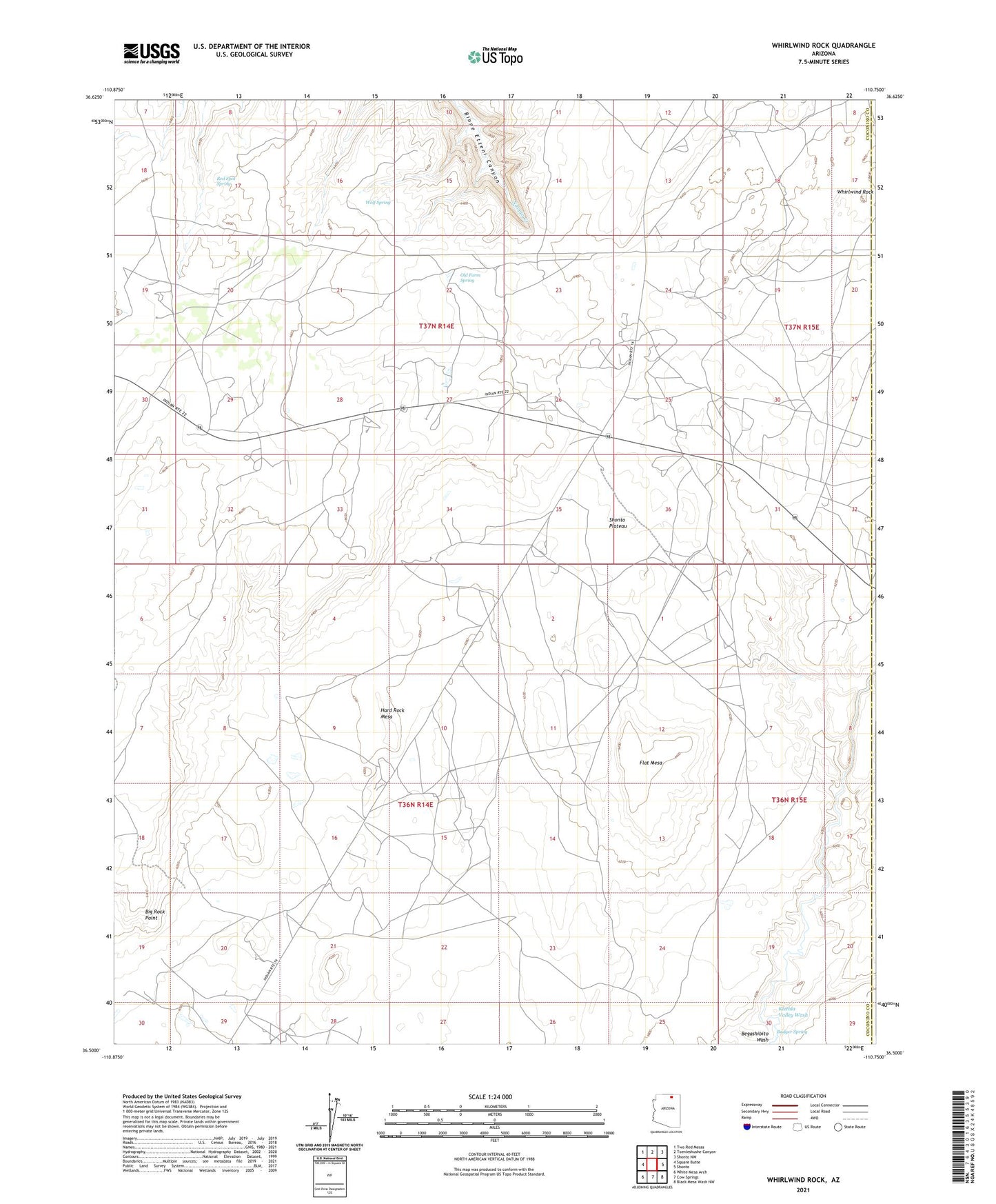
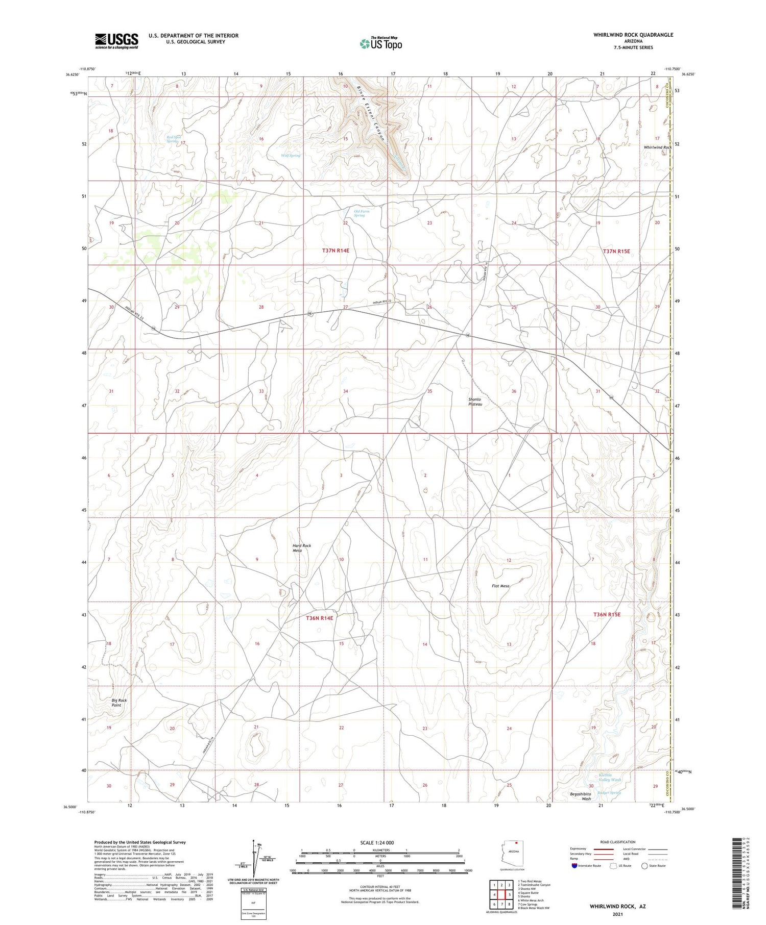
2021 topographic map quadrangle Whirlwind Rock in the state of Arizona. Scale: 1:24000. Based on the newly updated USGS 7.5' US Topo map series, this map is in the following counties: Coconino, Navajo. The map contains contour data, water features, and other items you are used to seeing on USGS maps, but also has updated roads and other features. This is the next generation of topographic maps. Printed on high-quality waterproof paper with UV fade-resistant inks.
Quads adjacent to this one:
West: Square Butte
Northwest: Two Red Mesas
North: Toenleshushe Canyon
Northeast: Shonto NW
East: Shonto
Southeast: Black Mesa Wash NW
South: Cow Springs
Southwest: White Mesa Arch
This map covers the same area as the classic USGS quad with code o36110e7.
Contains the following named places: Badger Spring, Begay Windmill, Big Rock Point, Blue Lake, Blue Lake Dam, Flat Mesa, Hard Rock Mesa, Klethla Valley Wash, Old Farm Spring, Red Spot Spring, Whirlwind Rock, Wolf Spring