MyTopo
Whitmore Point SE Arizona US Topo Map
Couldn't load pickup availability
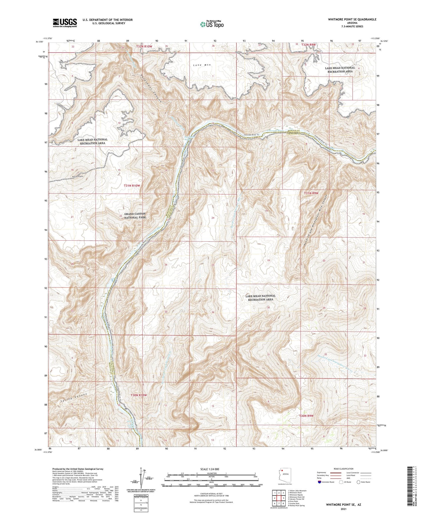
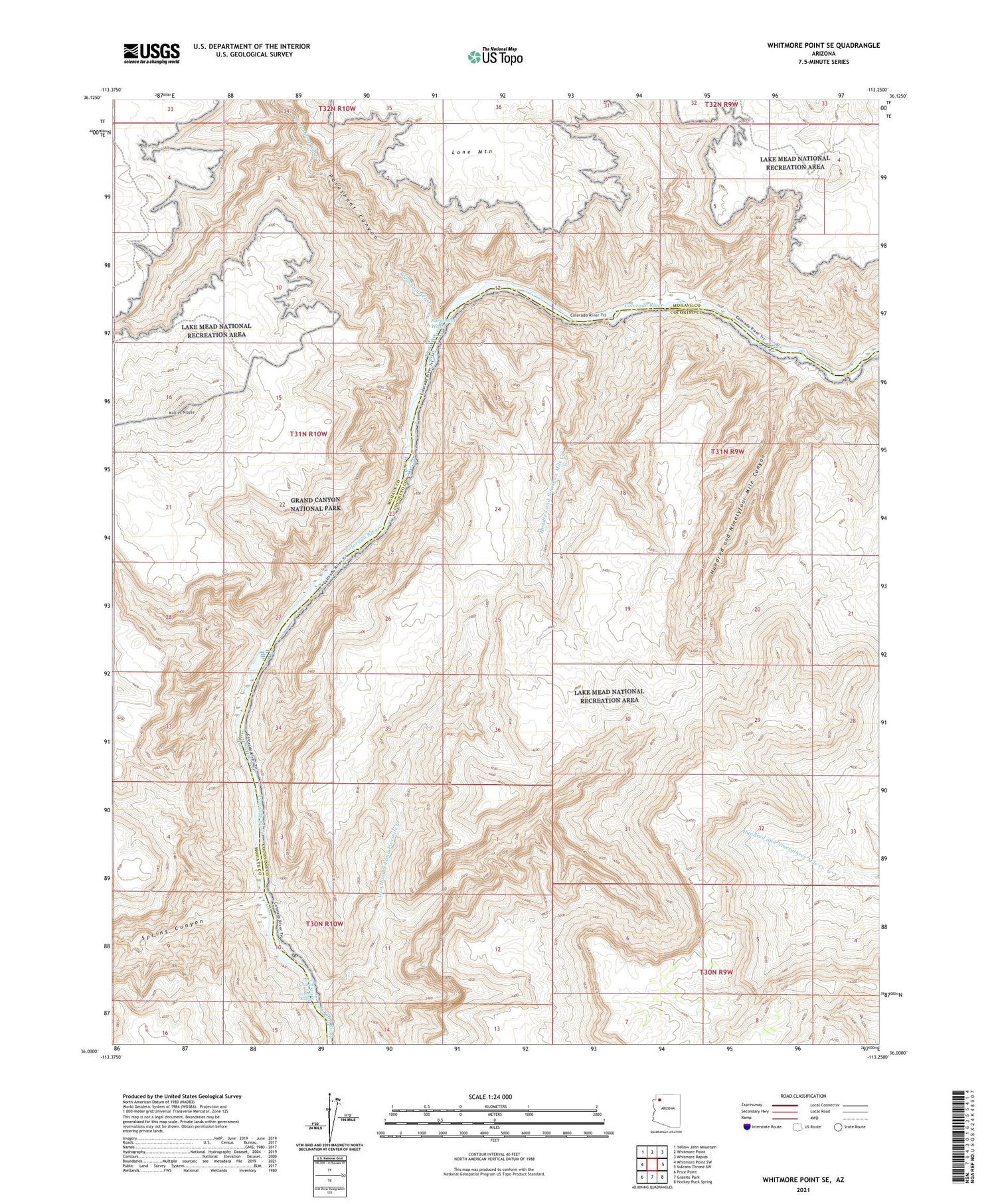
2021 topographic map quadrangle Whitmore Point SE in the state of Arizona. Scale: 1:24000. Based on the newly updated USGS 7.5' US Topo map series, this map is in the following counties: Coconino, Mohave. The map contains contour data, water features, and other items you are used to seeing on USGS maps, but also has updated roads and other features. This is the next generation of topographic maps. Printed on high-quality waterproof paper with UV fade-resistant inks.
Quads adjacent to this one:
West: Whitmore Point SW
Northwest: Yellow John Mountain
North: Whitmore Point
Northeast: Whitmore Rapids
East: Vulcans Throne SW
Southeast: Hockey Puck Spring
South: Granite Park
Southwest: Price Point
This map covers the same area as the classic USGS quad with code o36113a3.
Contains the following named places: Hundred and Ninetyfour Mile Canyon, Hundred and Ninetysix Mile Creek, Mollies Nipple, Parashant Canyon, Parashant Wash, Spring Canyon, Two Hundred and Fivemile Creek, Two Hundred and Fivemile Rapids