MyTopo
Emmet Arkansas US Topo Map
Couldn't load pickup availability
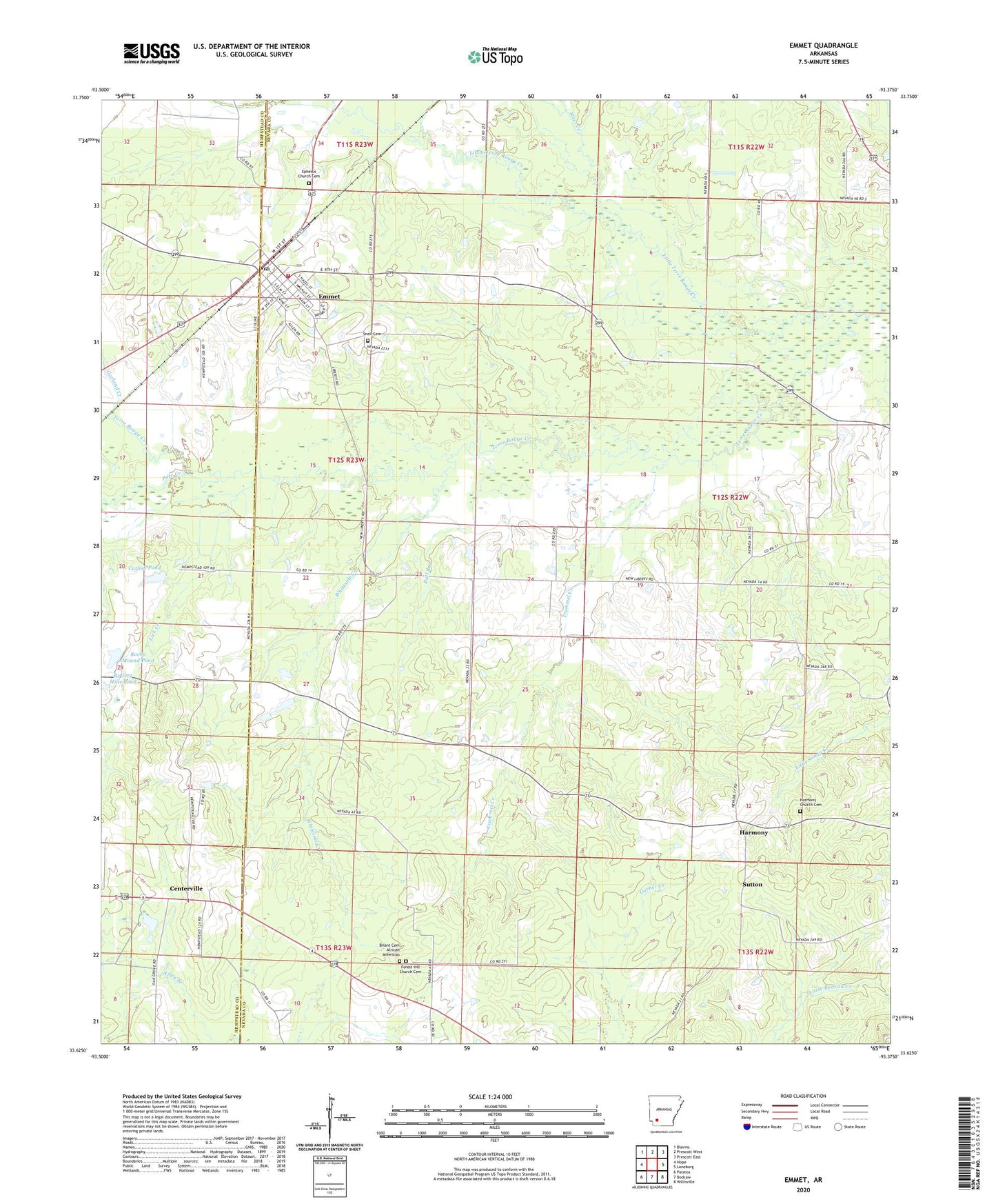
2024 topographic map quadrangle Emmet in the state of Arkansas. Scale: 1:24000. Based on the newly updated USGS 7.5' US Topo map series, this map is in the following counties: Nevada, Hempstead. The map contains contour data, water features, and other items you are used to seeing on USGS maps, but also has updated roads and other features. This is the next generation of topographic maps. Printed on high-quality waterproof paper with UV fade-resistant inks.
Quads adjacent to this one:
West: Hope
Northwest: Blevins
North: Prescott West
Northeast: Prescott East
East: Laneburg
Southeast: Willisville
South: Bodcaw
Southwest: Patmos
This map covers the same area as the classic USGS quad with code o33093f4.
Contains the following named places: Antioch Church, Antioch School, Briant Cemetery African American, Bull Branch, Catfish Pond, Catfish Pond Dam, Centerville, City of Emmet, Clayton, Emmet, Emmet Elementary School, Emmet Fire Station, Emmet High School, Emmet Post Office, Ephesus Church, Ephesus Church Cemetery, Fairview Church, Forest Hill Church, Forest Hill Church Cemetery, Garland Creek, Harmony, Harmony Church Cemetery, Harmony United Methodist Church, KHPA-FM (Hope), Lick Creek, Little Terre Rouge Creek, Macedonia Church, May Creek, New Liberty Missionary Baptist Church, New Liberty School, Pate Creek, Pine Creek, Pleasant Ridge Church, Rocky Mound Pond, Rocky Mound Pond Dam, Rolling Hills Pond, Rolling Hills Pond Dam, Snell Cemetery, Steel Creek, Sutton, Sweet Home United Methodist Church, Township of Albany, Township of Emmet, Trammel Creek, Vickers Creek, Whiteside Creek, ZIP Code: 71835