MyTopo
Willisville Arkansas US Topo Map
Couldn't load pickup availability
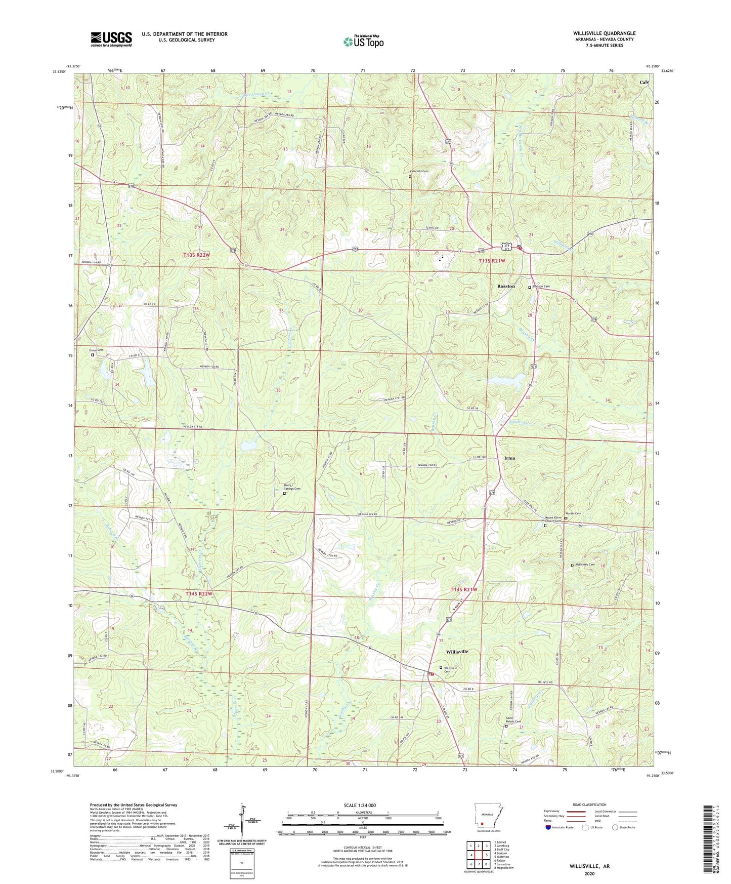
2024 topographic map quadrangle Willisville in the state of Arkansas. Scale: 1:24000. Based on the newly updated USGS 7.5' US Topo map series, this map is in the following counties: Nevada. The map contains contour data, water features, and other items you are used to seeing on USGS maps, but also has updated roads and other features. This is the next generation of topographic maps. Printed on high-quality waterproof paper with UV fade-resistant inks.
Quads adjacent to this one:
West: Bodcaw
Northwest: Emmet
North: Laneburg
Northeast: Bluff City
East: Waterloo
Southeast: Magnolia NW
South: Lamartine
Southwest: Falcon
This map covers the same area as the classic USGS quad with code o33093e3.
Contains the following named places: Bennett, Bluff Springs Church, Brisbane, Burdell Branch, Fairchild Cemetery, Holly Springs Cemetery, Holly Springs School, Irma, Martin Cemetery, McKinney Cemetery, Mount Olive Church, Mount Olive Church Cemetery, Nevada Elementary School, Nevada High School, Pleasant Grove Church, Rosston, Rosston Cemetery, Rosston Fire Station, Rosston Lake, Rosston Lake Dam, Rosston Post Office, Saint James Church, Saint Peters Cemetery, Siloam School, Town of Rosston, Town of Willisville, Township of Caney, Township of Taylor, Union Cemetery, Union Church, Union School, West Willisville Oil Field, Whites Chapel, Willisville, Willisville Cemetery, Willisville Post Office, Willisville Volunteer Fire Department, ZIP Code: 71858