MyTopo
Kedron Arkansas US Topo Map
Couldn't load pickup availability
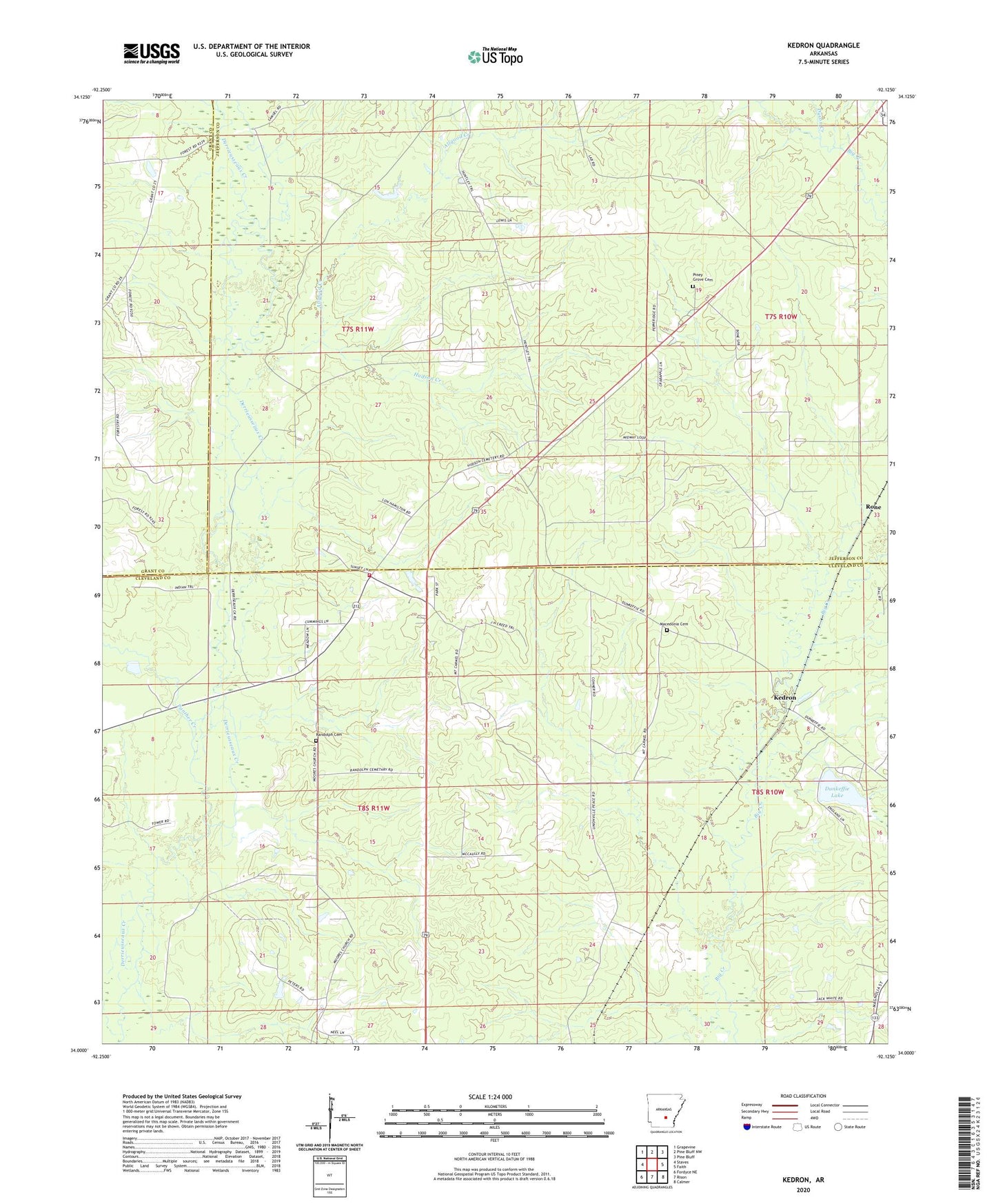
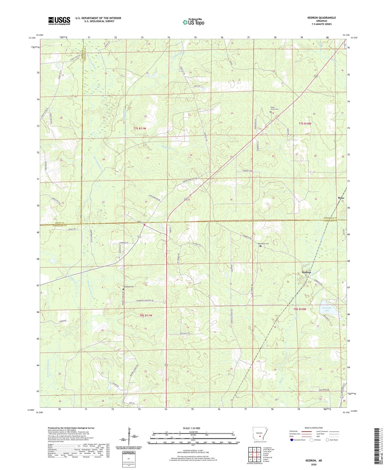
2024 topographic map quadrangle Kedron in the state of Arkansas. Scale: 1:24000. Based on the newly updated USGS 7.5' US Topo map series, this map is in the following counties: Cleveland, Jefferson, Grant. The map contains contour data, water features, and other items you are used to seeing on USGS maps, but also has updated roads and other features. This is the next generation of topographic maps. Printed on high-quality waterproof paper with UV fade-resistant inks.
Quads adjacent to this one:
West: Staves
Northwest: Grapevine
North: Pine Bluff NW
Northeast: Pine Bluff
East: Faith
Southeast: Calmer
South: Rison
Southwest: Fordyce NE
This map covers the same area as the classic USGS quad with code o34092a2.
Contains the following named places: Allgood Creek, Cabool, Dunkeffie Lake, Dyson Creek, Howard School, Hudson Creek, Kedron, Lake Dunkeffie Dam, Macedonia Cemetery, Mount Carnel Church, Panther Creek, Peace, Piney Grove Cemetery, Randolph Cemetery, Rone, Township of Jackson, Township of Niven, Township of Talladega, Y Fire Department Substation