MyTopo
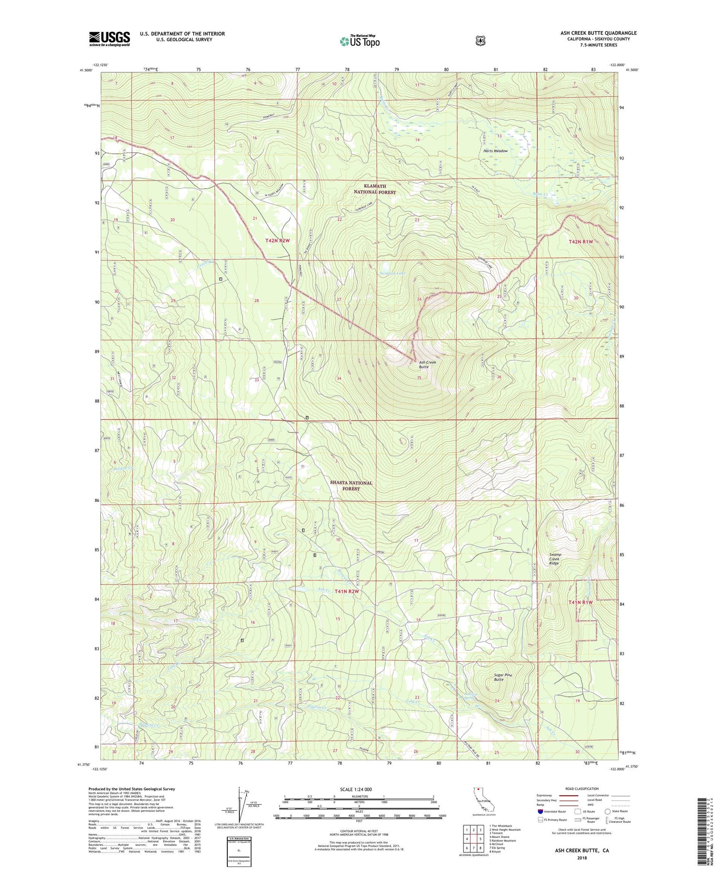
Ash Creek Butte California US Topo Map
Couldn't load pickup availability
Also explore the Ash Creek Butte Forest Service Topo of this same quad for updated USFS data
2021 topographic map quadrangle Ash Creek Butte in the state of California. Scale: 1:24000. Based on the newly updated USGS 7.5' US Topo map series, this map is in the following counties: Siskiyou. The map contains contour data, water features, and other items you are used to seeing on USGS maps, but also has updated roads and other features. This is the next generation of topographic maps. Printed on high-quality waterproof paper with UV fade-resistant inks.
Quads adjacent to this one:
West: Mount Shasta
Northwest: The Whaleback
North: West Haight Mountain
Northeast: Tennant
East: Rainbow Mountain
Southeast: Kinyon
South: Elk Spring
Southwest: McCloud
This map covers the same area as the classic USGS quad with code o41122d1.
Contains the following named places: Ash Creek Butte, Brewer Creek, Cold Creek, Deter Camp, Gravel Creek, Hart Camp, Harts Camp, Harts Meadow, Inconstance Creek, Junction Spring, Sugar Pine Butte, Surprise Lake, Swamp Creek Ridge