MyTopo
Bonita Ranch California US Topo Map
Couldn't load pickup availability
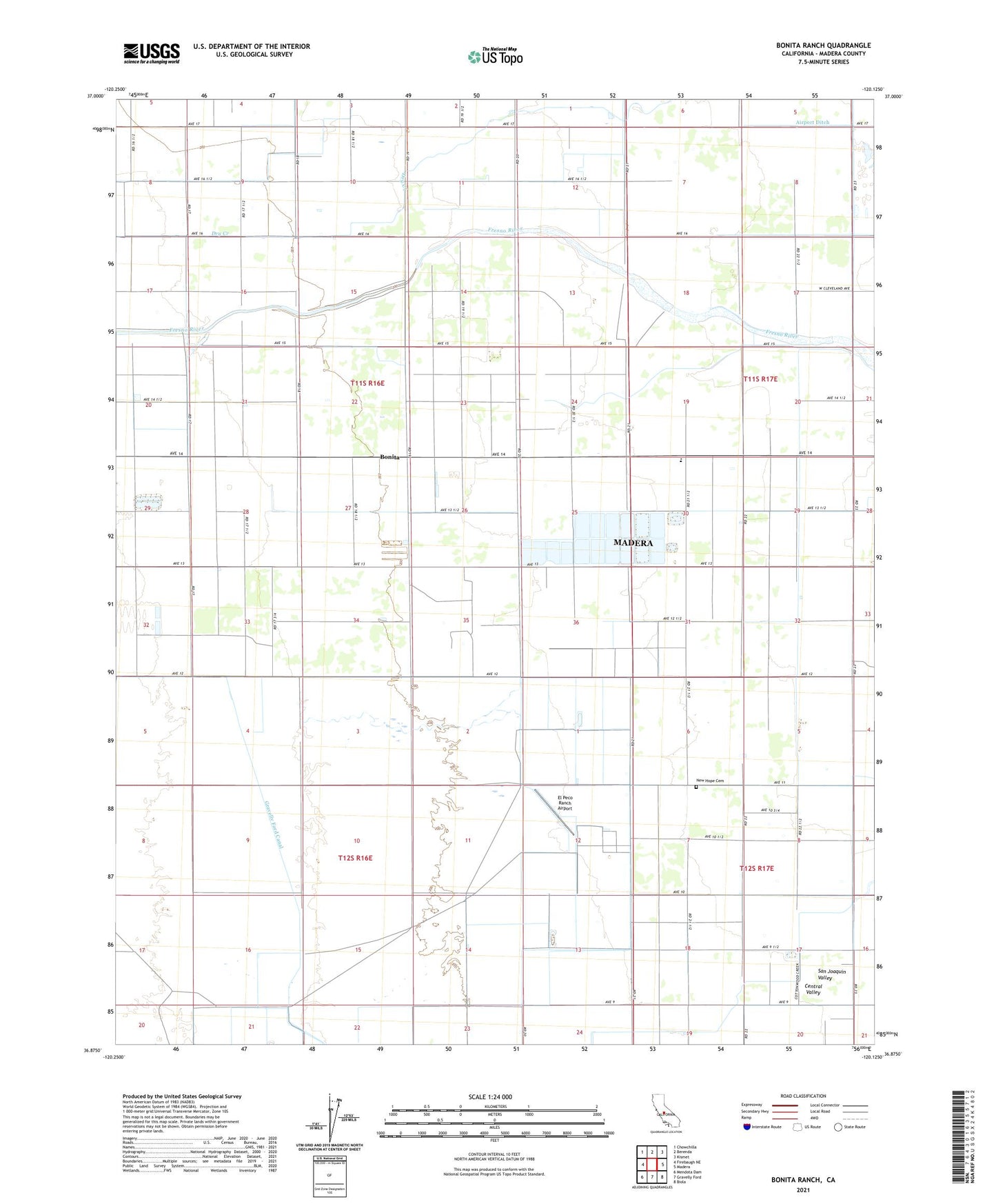
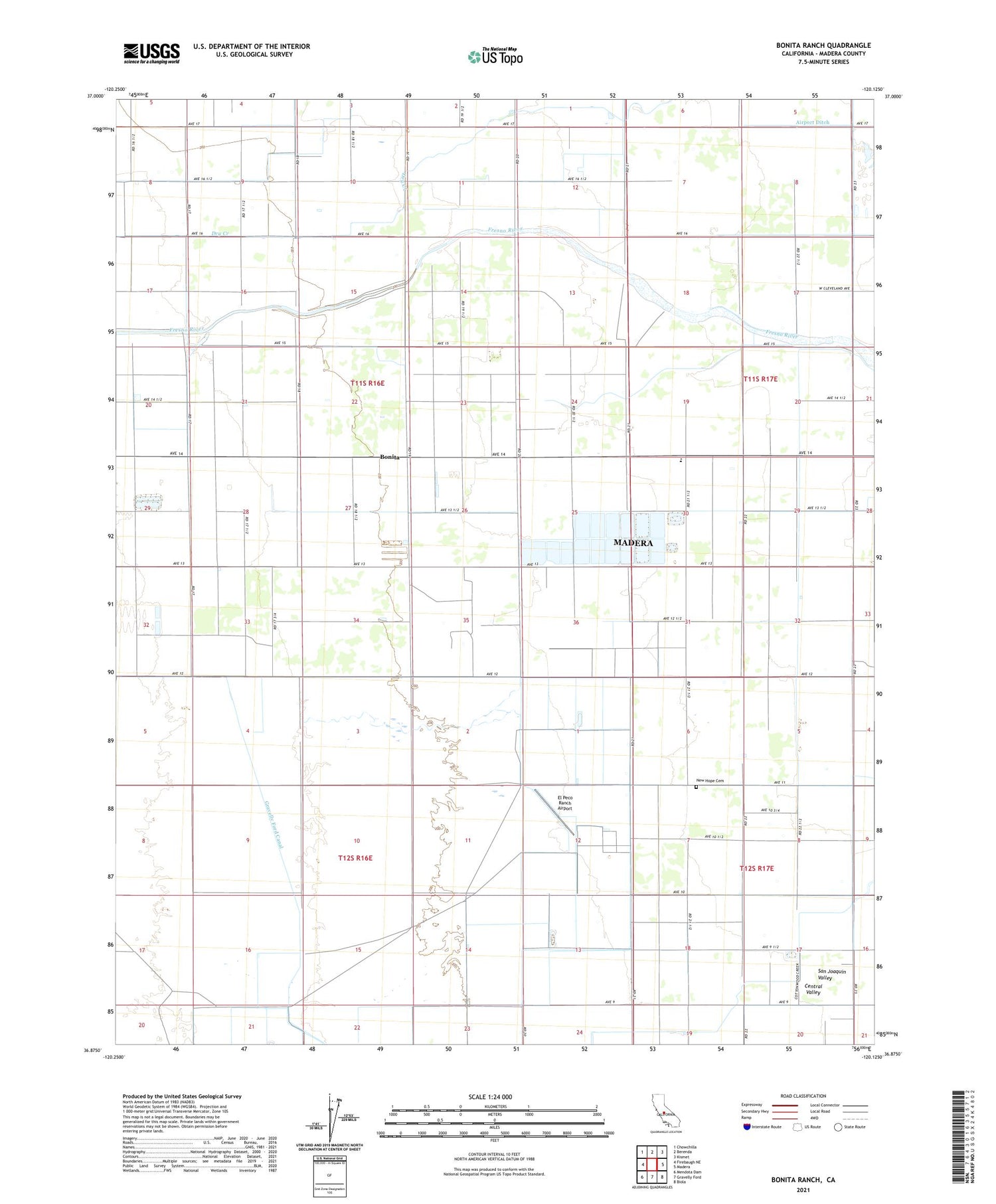
2021 topographic map quadrangle Bonita Ranch in the state of California. Scale: 1:24000. Based on the newly updated USGS 7.5' US Topo map series, this map is in the following counties: Madera. The map contains contour data, water features, and other items you are used to seeing on USGS maps, but also has updated roads and other features. This is the next generation of topographic maps. Printed on high-quality waterproof paper with UV fade-resistant inks.
Quads adjacent to this one:
West: Firebaugh NE
Northwest: Chowchilla
North: Berenda
Northeast: Kismet
East: Madera
Southeast: Biola
South: Gravelly Ford
Southwest: Mendota Dam
This map covers the same area as the classic USGS quad with code o36120h2.
Contains the following named places: Airport Ditch, Bonita, Bonita Ranch, El Peco Ranch, El Peco Ranch Airport, Gravelly Ford Canal, Haws Airport, Howard Elementary School, Milk Time Dairy, New Hope Cemetery, ZIP Code: 93637