MyTopo
Madera California US Topo Map
Couldn't load pickup availability
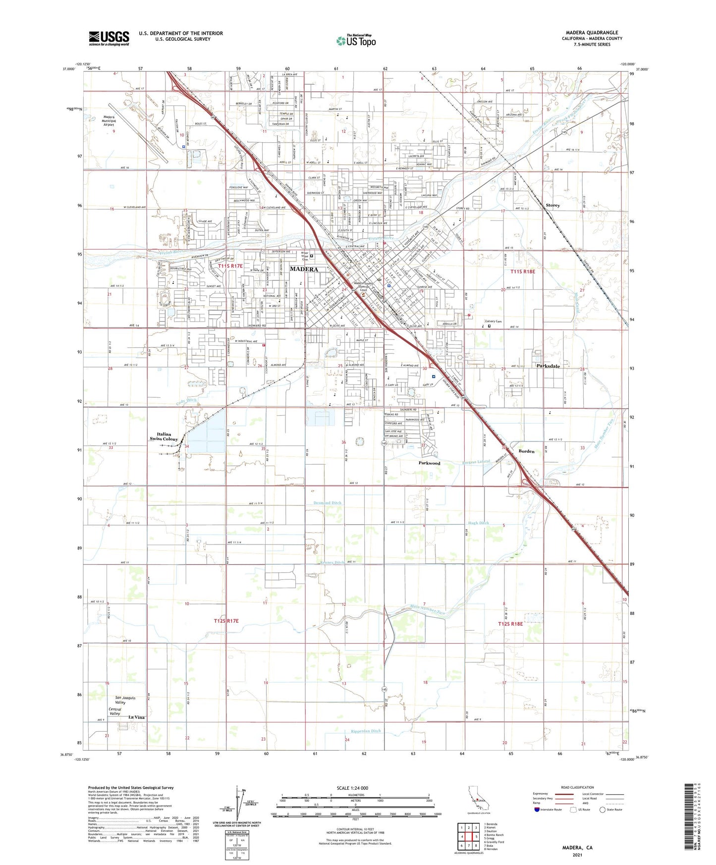
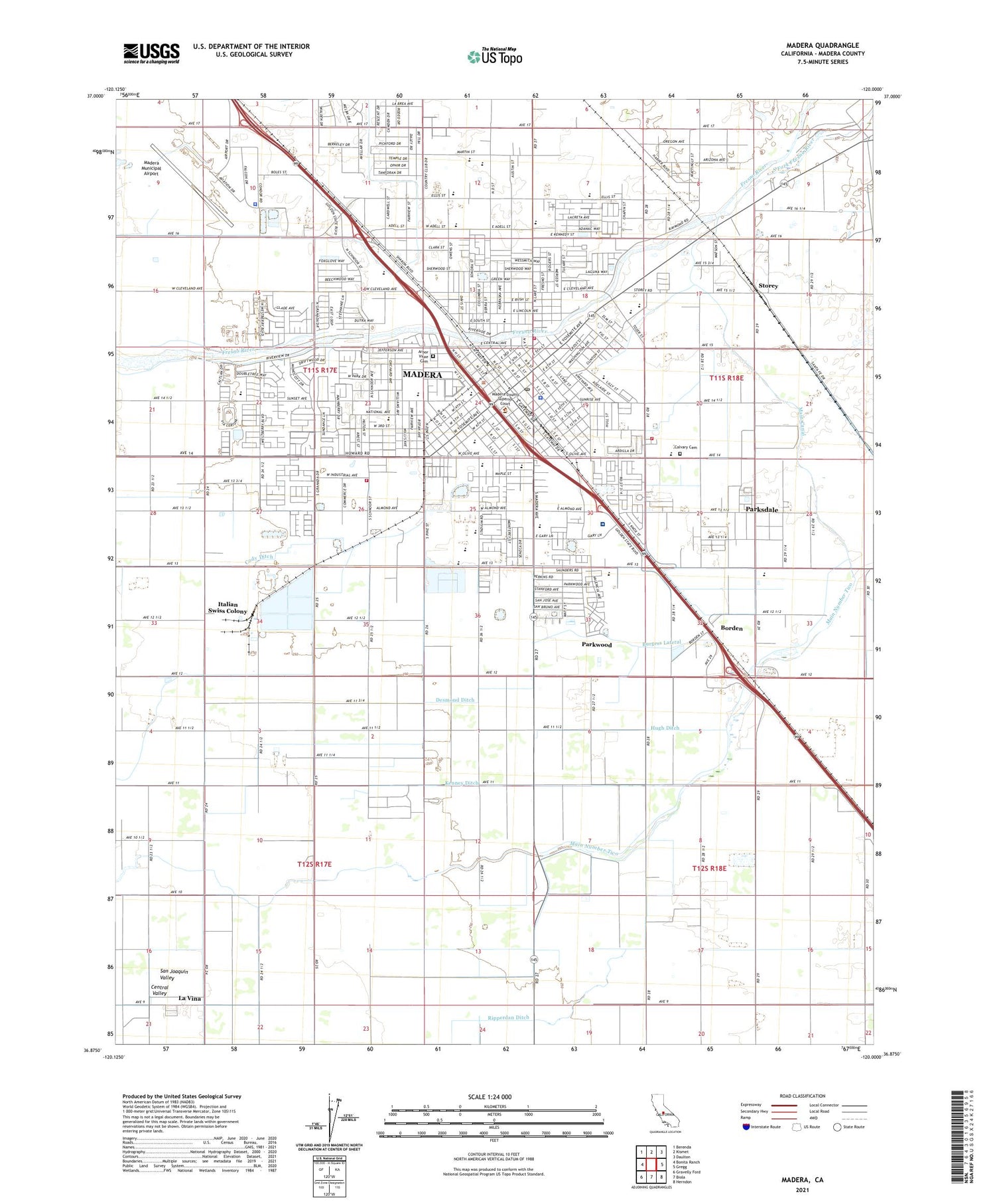
2021 topographic map quadrangle Madera in the state of California. Scale: 1:24000. Based on the newly updated USGS 7.5' US Topo map series, this map is in the following counties: Madera. The map contains contour data, water features, and other items you are used to seeing on USGS maps, but also has updated roads and other features. This is the next generation of topographic maps. Printed on high-quality waterproof paper with UV fade-resistant inks.
Quads adjacent to this one:
West: Bonita Ranch
Northwest: Berenda
North: Kismet
Northeast: Daulton
East: Gregg
Southeast: Herndon
South: Biola
Southwest: Gravelly Ford
This map covers the same area as the classic USGS quad with code o36120h1.
Contains the following named places: Adams School, Alpha Elementary School, Alpha School, Arbor Vitae Cemetery, Arcola School, Believers Church of Madera, Bethard Square Shopping Center, Bethel Southern Baptist Church, Borden, Burgess Lateral, Calvary Cemetery, Church of Christ, Church of God, Church of God Eastlake, Church of God of Prophecy, Church of the Nazarene, City of Madera, Cody Ditch, Colony Ditch, Community Bible Church, Country Club Village Shopping Center, Courthouse Park, Coyote Stadium, Dearborn Hospital, Desmond Ditch, Duane E Furman High School East, Duane E Furman High School West, Easton Church, Eastside School, Evangelical Free Church, First Baptist Church, First Christian Church, First Presbyterian Church, First Southern Baptist Church, Fourth Street Church of God, Grace Assembly of God Church, Grace Missionary Baptist Church, Harvest Community Church, Howard Park Plaza Shopping Center, Howard School, Hugh Ditch, Hull Avenue Church of God in Christ, Iglesia Bautista El Calvario, Italian Swiss Colony, James Monroe Elementary School, Jehovahs Witnesses Spanish Congregation, Kenney Ditch, KHOT-AM (Madera), Kingdom Hall of Jehovahs Witnesses, KJDN-FM (Madera), Knox Park, KXMX-FM (Madera), La Vina, La Vina Census Designated Place, La Vina Elementary School, Lincoln Grammar School, Madera, Madera Adult School, Madera Avenue Baptist Church, Madera City Fire Department Station 6, Madera City Fire Department Station 7, Madera City Hall, Madera Community Hospital, Madera County Adult Correctional Facility, Madera County Arts Council and Art Gallery, Madera County Courthouse, Madera County Fairgrounds, Madera County Fire Department Station 1, Madera County Government Center, Madera County Hospital, Madera County Jail, Madera County Law Library, Madera County Library, Madera County Museum, Madera County Sheriff's Office, Madera Division, Madera Drive-In, Madera Free Will Baptist Church, Madera High School, Madera Industrial Park, Madera Municipal Airport, Madera Police Department, Madera Post Office, Madera Sanitarium, Madera Seventh Day Adventist Church, Madera United Methodist Church, Madera-Lions Town and Country Regional Park, Main Canal, Main Number One, Main Number Two, McNally Memorial Park, Memorial Hall, Mike Howe Field, Millview Elementary School, Millview Park, Morning Star Baptist Church, Mount Zion Baptist Church, Norman M Gould Educational Center School, Northwest Church of Madera, Pan-Am Park, Parksdale, Parksdale Census Designated Place, Parksdale Church of God, Parkwood, Parkwood Census Designated Place, Parkwood Park, Parkwood Village Shopping Center, Pentecostal Church of God, Pentecostal Holiness Church, Pentecostal Tabernacle, Pershing Elementary School, Pistoresi Ambulance Service, Praise Chapel, Ripperdan Ditch, Rotary Park, Saint Joachim Elementary School, Saint Joachims Roman Catholic Church, Second Baptist Church, Set Free Outreach Church, Seventh Day Adventist School, Sierra Vista Elementary School, South Fork Fresno River, Stockton Ditch, Storey, Sunbeam School, Sunrise Church of God in Christ, The Church of Jesus Christ of Latter Day Saints, Thomas Jefferson Junior High School, Trinity Episcopal Church, Trinity Lutheran Church, Washington Elementary School, Zoria Farms


