MyTopo
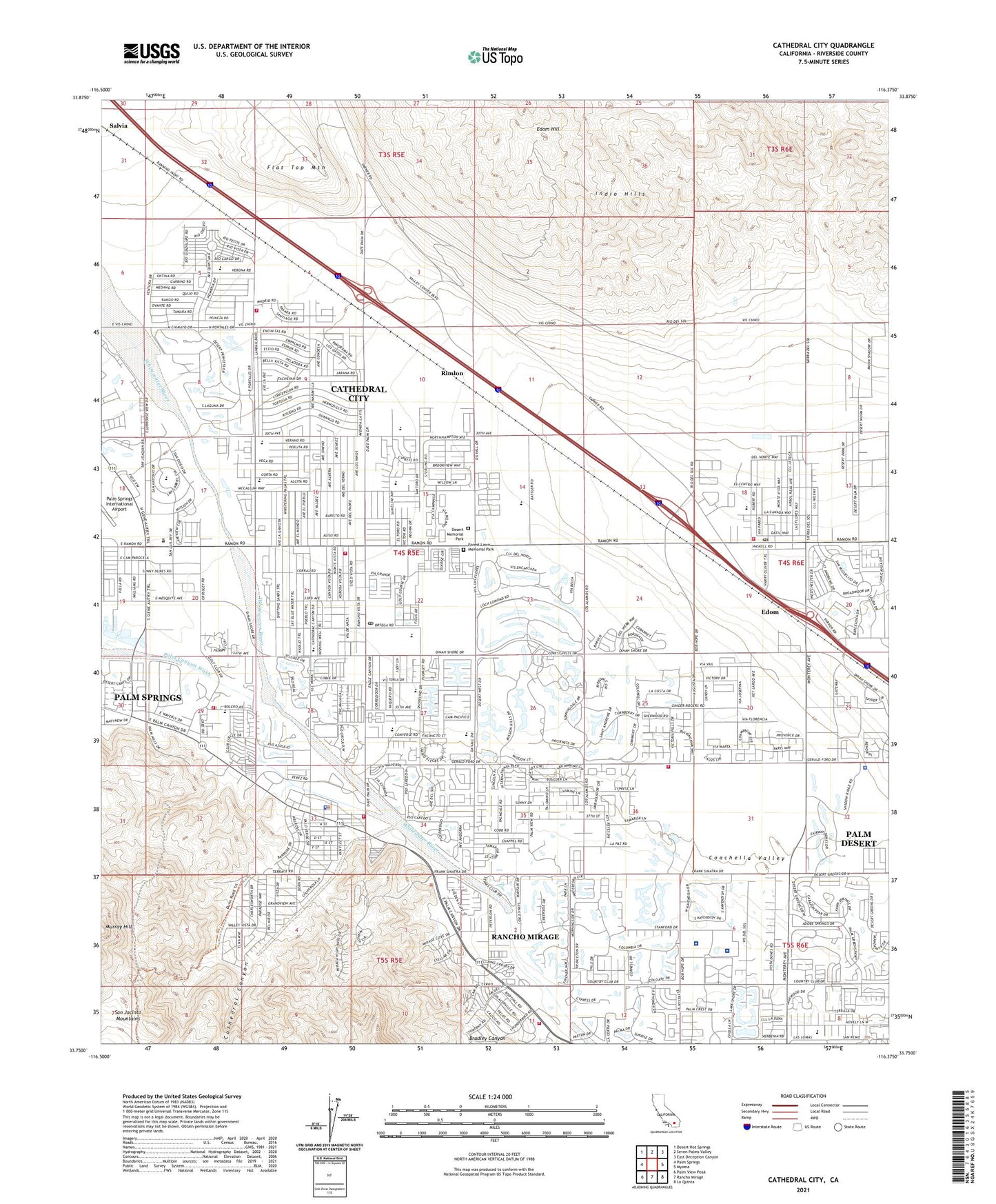
Cathedral City California US Topo Map
Couldn't load pickup availability
Also explore the Cathedral City Forest Service Topo of this same quad for updated USFS data
2021 topographic map quadrangle Cathedral City in the state of California. Scale: 1:24000. Based on the newly updated USGS 7.5' US Topo map series, this map is in the following counties: Riverside. The map contains contour data, water features, and other items you are used to seeing on USGS maps, but also has updated roads and other features. This is the next generation of topographic maps. Printed on high-quality waterproof paper with UV fade-resistant inks.
Quads adjacent to this one:
West: Palm Springs
Northwest: Desert Hot Springs
North: Seven Palms Valley
Northeast: East Deception Canyon
East: Myoma
Southeast: La Quinta
South: Rancho Mirage
Southwest: Palm View Peak
This map covers the same area as the classic USGS quad with code o33116g4.
Contains the following named places: Agua Caliente Elementary School, Agua Caliente Park, Anneberg Golf Course, Betty Ford Center, Bloch Cancer Survivors Park, Bradley Canyon, Braille Institute of the Desert, Caliente Sands, Canyon Plaza Shopping Center, Cathedral Canyon, Cathedral Canyon Country Club, Cathedral City, Cathedral City Branch Riverside City and County Public Library, Cathedral City Elementary School, Cathedral City Fire Department Headquarters Station, Cathedral City Fire Department Station 411, Cathedral City Fire Department Station 413, Cathedral City High School, Cathedral City Marketplace Shopping Center, Cathedral City Police Department, Cathedral City Post Office, Cathedral City Shopping Plaza Shopping Center, Cathedral Plaza Shopping Center, Cathedral Police Department - Market, Cathedral Police Department - North, Cathedral Police Department - South, Cathedral Village Shopping Center, Century Park, Century Plaza Shopping Center, City of Cathedral City, City of Rancho Mirage, Date Palm Shopping Center, De Anza Country Club, Del E Webb Memorial Medical Information Center, Della Lindley Elementary School, Desert Hills Trailer Park, Desert Island Country Club, Desert Memorial Park, Desert Princess Resort and Country Club, Dinah Shore Golf Course, Dorado Mobile Home Park, Edom, Edom Hill, Eisenhower Medical Center, Eisenhower Medical Center Heliport, Ferguson Ranch, Flat Top Mountain, Forest Lawn Memorial Park, KCMJ-AM (Palm Springs), KCPC-AM (Cathedral City), KDES-AM (Palm Springs), KDES-FM (Palm Springs), KESQ-TV (Palm Springs), KEZN-FM (Palm Desert), KHCS-FM (Palm Desert), KMIR-TV (Palm Springs), KNWZ-AM (Thousand Palms), KPSI-FM (Palm Springs), KPSL-AM (Thousand Palms), KWXY-AM (Cathedral City), KWXY-FM (Cathedral City), Landau Elementary School, Mahoney Trailer Park, McPherson Ranch, Mission Hills Country Club, Mission Hills North Golf Course, Monterey Marketplace Shopping Center, Monterey Shore Shopping Center, Morningside Country Club, Morongo Wash, Mount San Jacinto High School, Murray Hill, Nellie N Coffman Middle School, Oasis Water Park, Old Fort Oliver, Olympic Golf and Tennis Driving Range, Outdoor Resorts of America Golf Course, Palm Canyon Wash, Palm Desert Greens Golf Course, Palm Springs Fire Department Station 5, Palm Springs Municipal Golf Course, Palm Valley School, Panorama Park, Pete Dye Resort Golf Course, Plaza de Monterey Shopping Center, Rancho Las Arenas, Rancho Mirage City Hall, Rancho Mirage Country Club, Rimlon, Rimrock Shopping Center, Riverside County Fire Department Station 35 Roy Wilson, Riverside County Fire Department Station 50 South Rancho Mirage, Riverside County Fire Department Station 69 Rancho Mirage North, Riverside County Sheriff's Department - Palm Desert Police Station, Royal Palms, Santa Rosa Country Club, Second Street Park, Snyder Date Gardens, Suncrest Country Club, Sunny Sands Elementary School, Sunrise Country Club, Suntown, Tahquitz Creek, Tamarisk Country Club, The Springs Country Club, Thousand Palms, Thousand Palms Community Church, Thousand Palms Post Office, Thunderbird Country Club, Tri-Palm Golf Course, Wolfson Park, Wonder Date Gardens, ZIP Codes: 92234, 92270


