MyTopo
Crescent City OE W California US Topo Map
Couldn't load pickup availability
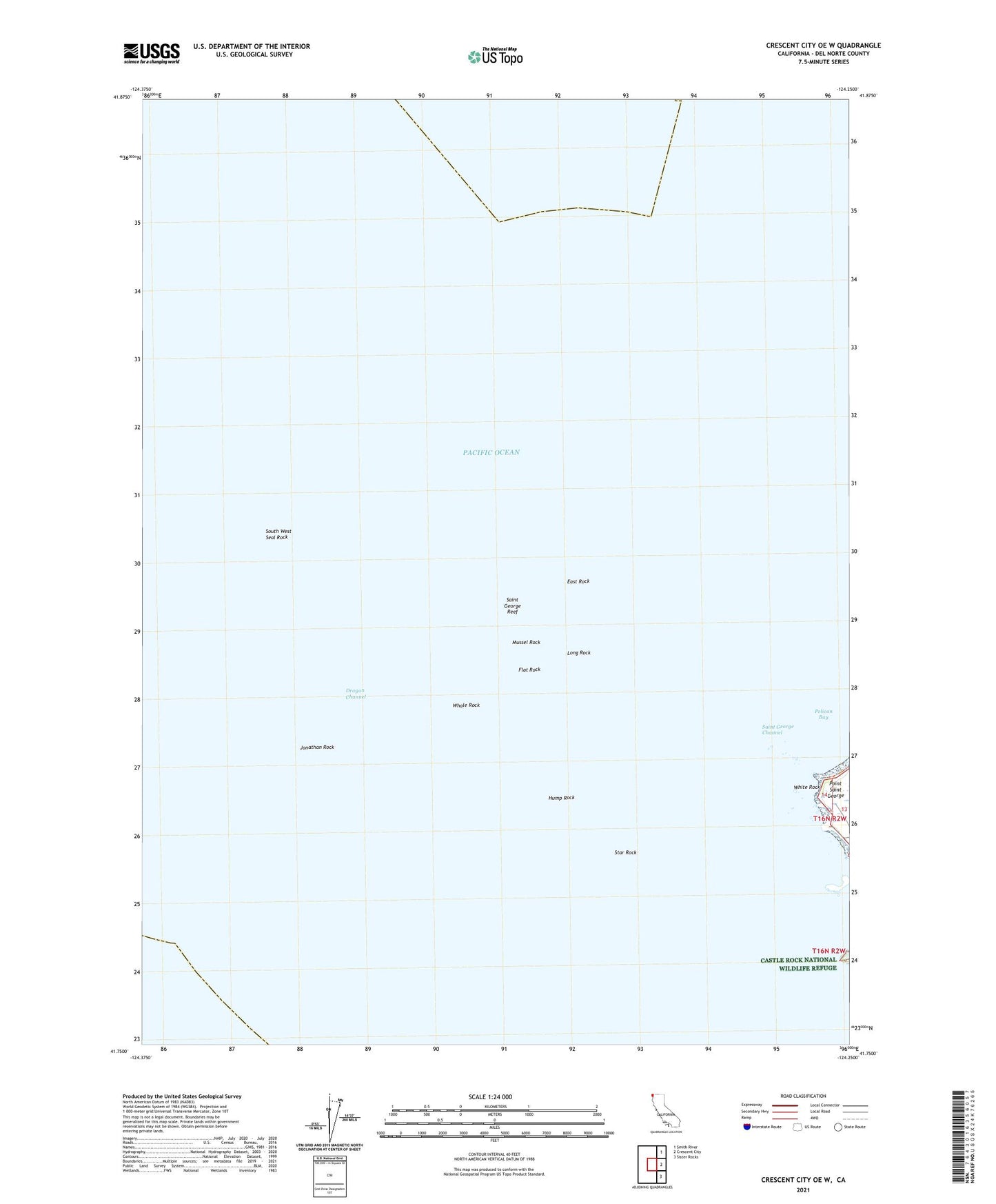
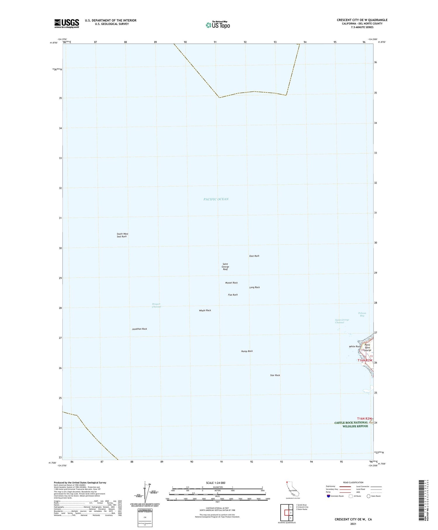
2021 topographic map quadrangle Crescent City OE W in the state of California. Scale: 1:24000. Based on the newly updated USGS 7.5' US Topo map series, this map is in the following counties: Del Norte. The map contains contour data, water features, and other items you are used to seeing on USGS maps, but also has updated roads and other features. This is the next generation of topographic maps. Printed on high-quality waterproof paper with UV fade-resistant inks.
Quads adjacent to this one:
Northeast: Smith River
East: Crescent City
Southeast: Sister Rocks
Contains the following named places: Crescent City Division, Dragon Channel, East Rock, Flat Rock, Great Break, Hump Rock, Jonathan Rock, Long Rock, Mansfield Break, Mussel Rock, Point Saint George, Saint George Channel, Saint George Reef, Saint George Reef Lighthouse, South West Seal Rock, Star Rock, Whale Rock, White Rock