MyTopo
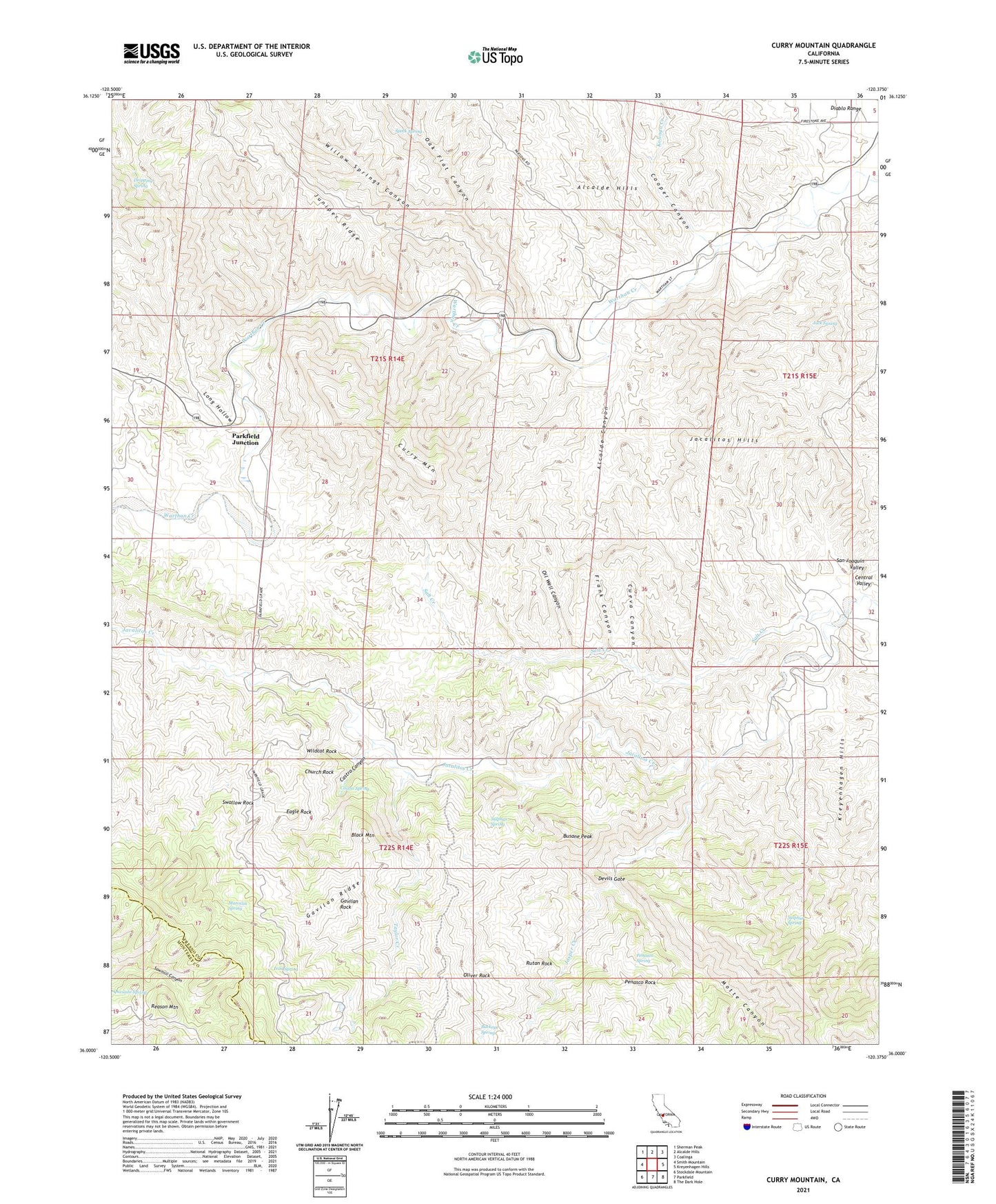
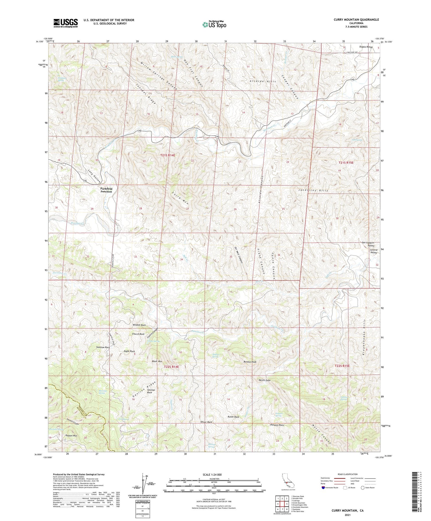
Curry Mountain California US Topo Map
Couldn't load pickup availability
2021 topographic map quadrangle Curry Mountain in the state of California. Scale: 1:24000. Based on the newly updated USGS 7.5' US Topo map series, this map is in the following counties: Fresno, Monterey. The map contains contour data, water features, and other items you are used to seeing on USGS maps, but also has updated roads and other features. This is the next generation of topographic maps. Printed on high-quality waterproof paper with UV fade-resistant inks.
Quads adjacent to this one:
West: Smith Mountain
Northwest: Sherman Peak
North: Alcalde Hills
Northeast: Coalinga
East: Kreyenhagen Hills
Southeast: The Dark Hole
South: Parkfield
Southwest: Stockdale Mountain
This map covers the same area as the classic USGS quad with code o36120a4.
Contains the following named places: Alcalde Canyon, Alcalde Ranch, Black Mountain, Boone Cabin, Buckeye Spring, Busane Peak, Camino Ranch, Castro Canyon, Castro Spring, Church Rock, Clawson Cabin, Coalinga Sulphur Baths, Cooper Canyon, Cueva Canyon, Curry Mountain, Devils Gate, Dias Cabin, Douglas Cabin, Dripping Spring, Eagle Rock, Frank Canyon, Gavilan Ridge, Gavilan Rock, Hugo Roberts Ranch, Iron Spring, Jacalitos Hills, Jacalitos Ranch, Jack Spring, Jasper Creek, Kolingo Creek, Long Hollow, Marcelin Roberts Ranch, Marcelin Spring, Merrill Pools, Motte Cabin, Motte Canyon, Oak Flat Canyon, Oil Well Canyon, Oliver Rock, Parkfield Junction, Pate Cabin, Penasco Rock, Penasco Spring, Reason Mountain, Rutan Rock, Salt Creek, Sanderson Ranch, Speck Spring, Sulphur Spring, Swallow Rock, Taylor Creek, Wildcat Rock, Willow Springs Canyon


