MyTopo
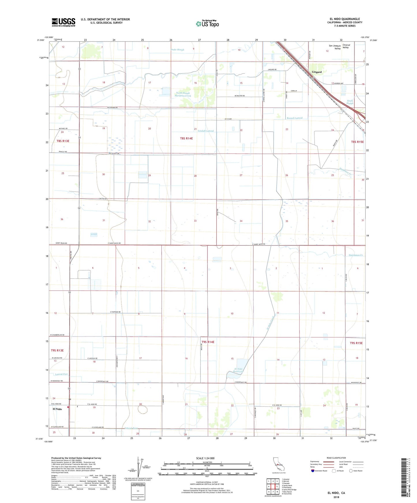
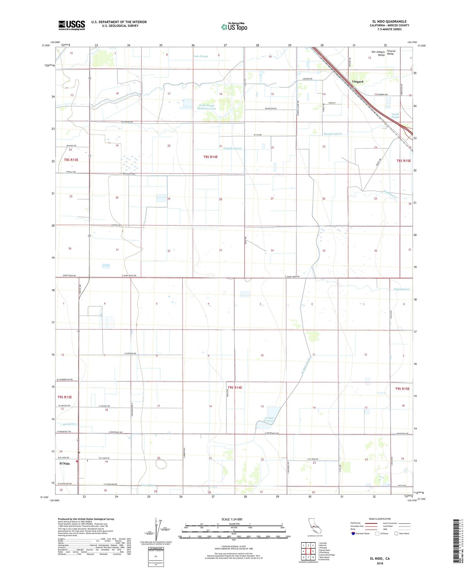
El Nido California US Topo Map
Couldn't load pickup availability
2021 topographic map quadrangle El Nido in the state of California. Scale: 1:24000. Based on the newly updated USGS 7.5' US Topo map series, this map is in the following counties: Merced. The map contains contour data, water features, and other items you are used to seeing on USGS maps, but also has updated roads and other features. This is the next generation of topographic maps. Printed on high-quality waterproof paper with UV fade-resistant inks.
Quads adjacent to this one:
West: Sandy Mush
Northwest: Atwater
North: Merced
Northeast: Planada
East: Plainsburg
Southeast: Chowchilla
South: Bliss Ranch
Southwest: Santa Rita Bridge
This map covers the same area as the classic USGS quad with code o37120b4.
Contains the following named places: 59 Ranch Airport, Double D Dairy, Dutchman Creek, El Nido, El Nido Canal, El Nido Census Designated Place, El Nido Elementary School, El Nido Missionary Baptist Church, El Nido Post Office, El Nido Reservoir, Five H Farms, Hoogendam Dairy, Lateral Five, Lateral Four, Lingard, Merced County Fire Department El Nido Fire Station 83, North Slough Mariposa Creek, Old Chowchilla Creek, O'Neill Dam, Rock - Shar Dairy, Russel Lateral, Russell School, South Slough, Tetzlaff Lateral, V and R Dairy, Vista Verde Dairy